
Elevation Profile
511–1612 m
The GR®3 is a legendary long-distance trail following the Loire, one of Europe’s last wild rivers, for 1,200 km. It begins at the river’s source on Mont Gerbier de Jonc and continues to its estuary near Guérande. The section across the Forez mountains unfolds through a succession of striking panoramas, peat bogs, moorland, winding rivers and vast open spaces.
At a Glance
- Duration
- 120.0hrs
- Distance
- 120.8km
- Elevation +
- +3281 m
- Elevation -
- -3352 m
At a Glance
Live Weather
Live conditions
—
Feels like
—
Wind / gusts
—
Visibility
—
Updated: —
Live conditions
—
Feels like
—
Wind / gusts
—
Visibility
—
Updated: —
Important Advice
Follow the waymarking of the French Hiking Federation (FFRP).
This GR is not passable during periods of snow cover.
Field notes and images
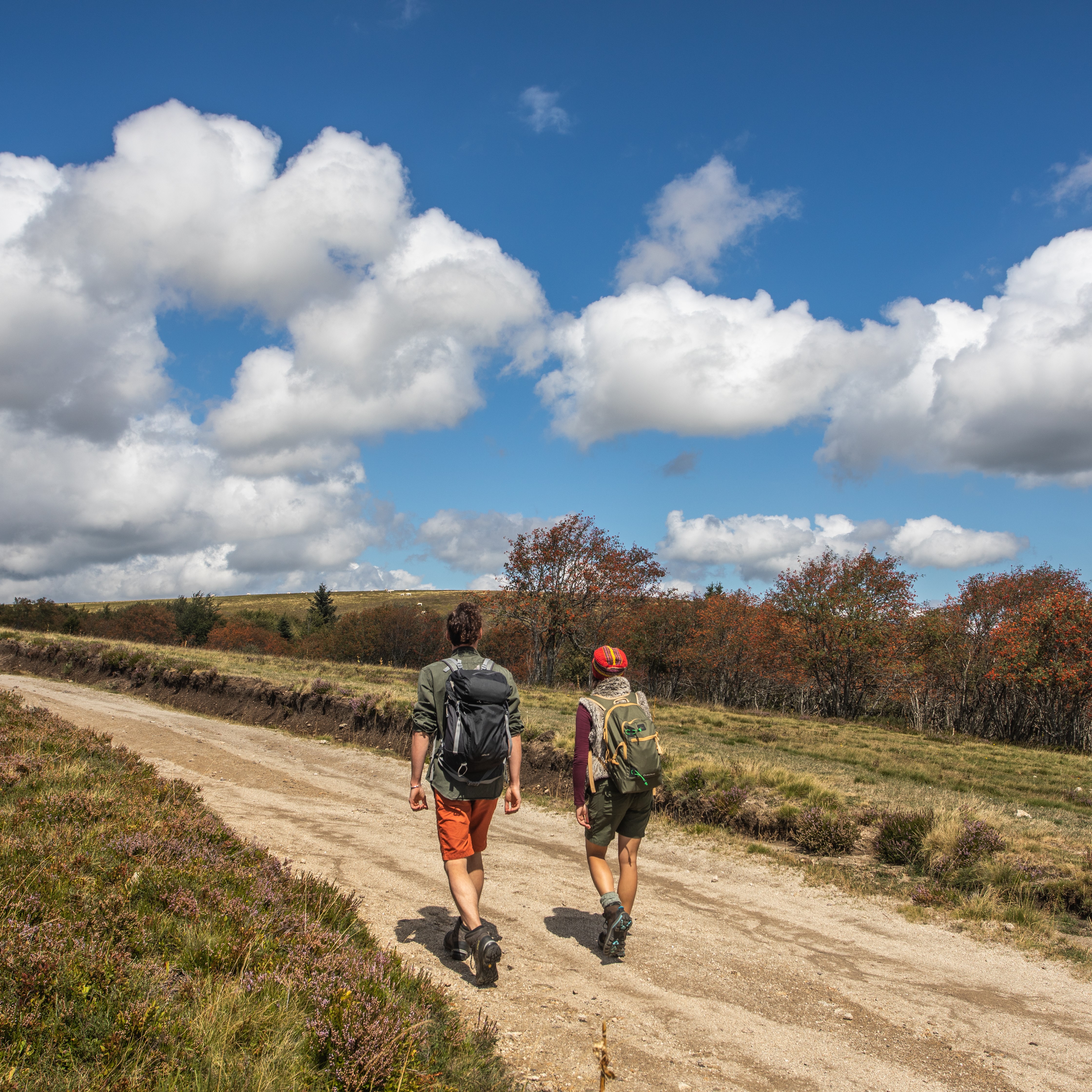
Randonneurs sur les Hautes-Chaumes
Captured by David Frobert
Explore Nearby
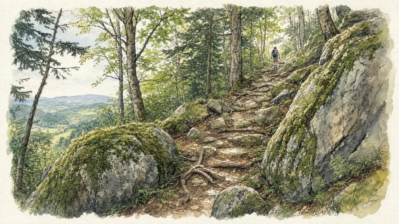
2 days of bivouac on Hautes-Chaumes
Between the jasseries, the peat bogs and the panoramas of the Alps on a clear day, here is a bivouac on the volcanic ridges of Livradois-Forez immersed in nature and accessible by train.
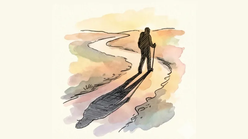
Around the Pradeaux dam
Departure: From the Col des Pradeaux, take the path up to the dam. At the next crossroads, take the path uphill on the right. Before the reservoir, take the path on the right and keep the main path until you reach the woods. Cross the woods opposite and continue opposite until the crossroads of 4 paths. 1. Take the path opposite and continue to the dam. Follow the dam on the right. Towards the “tail” of the dam, take a path going down to the left. Continue to follow the dam on the right and cross the 2 wooden footbridges. 2. At the exit of the second footbridge, turn left on the path and continue to follow the dam for 600m. Cross a small stream on the 3rd footbridge, continue opposite for 300m before going up a path on the right to find the path. 3.Take it on the left and continue to pass next to the dam. At the next crossroads, turn left and keep the main path going down to the Col des Pradeaux.
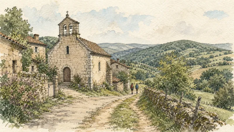
Beauvoir
Château de La Roue All that remains of this château is part of the enclosure wall and the square tower visible from the village. This keep, known as the “Tour de Pierrefort” in tribute to the last lord of the estate, “Hérail de Pierrefort La Roue”, dates from the 14th century and was restored in the 19th century. The original building probably dates back to the 13th century. It was then a powerful feudal château, forming part of the ring of fortifications around the county of Forez. From an early date it belonged to the La Roue family, known since the 12th century, who dominated the Ance valley from their three châteaux: La Roue, Montpeloux and La Chaulme.