
Illustration in progress
The upper reaches of the Ance valley provide a stark, vertical landscape where the Monts du Forez assert their dominance. At altitudes where the air thins and the scent of wild pine intensifies, the geography transitions from dense, shadowed woodlands to the expansive Hautes-Chaumes—vast subalpine moors that roll toward the granite summit of Pierre-sur-Haute. This is a realm of light and wind, where the seasonal rhythm remains dictated by the movement of cattle to high-altitude summer pastures. The river Ance, fractured into several crystalline streams, carves its way through the valley floor, providing a constant, melodic undertone to the silence of the high plateaus.
Architectural history here is written in the heavy, dark grain of basalt and Auvergne lava stone. The village skyline is commanded by the Church of Saint-Blaise, a neo-Gothic structure of such imposing scale it is locally revered as the “cathedral of the mountains,” housing Romanesque carvings of Saint-Just and Christ in Majesty that predate its 19th-century vaults. On the heights, the skeletal remains of the Château de la Roue offer a study in medieval defiance, its lonely donjon watching over the valley. In the village below, the Renaissance doorway of a second, later manor stands as a testament to the influence of the Roue lineage, while the Maison forte du Chalard—rumored to have hosted a young Louis XV—retains the formidable profile of a 16th-century stronghold built upon even older, feudal foundations.
Beyond the stone and mortar, the commune is steeped in the sensory traditions of the Forez, most notably the production of Fourme de Montbrison, an AOP cheese with a distinct orange-tinted crust. The traditional mountain farms, or jasseries, such as the Coq Noir, serve as cultural anchors on the high moors, preserving a way of life that feels increasingly distant from the modern world. Local memory is long here, still whispering of the 1974 “enchantment” at a nearby farm that required the intervention of an exorcist, a story that adds a layer of mountain gothic to the landscape. An afternoon spent traversing the old Route Royale toward the Col des Supeyres reveals a world where the line between history and folklore remains remarkably porous.
Discoveries in Saint-Anthème
One place from our guide is in this commune.
- Prabouré Station de Montagne
Local profile
At a Glance
- Population
- 716
- Demonym
- Saint-Anthémois
- Altitude
- 906–1423 m
- Forest
- 49.4%
residents
local residents
lowest to highest
commune coverage
Did You Know?
“In 1974, a local farm became the subject of national intrigue following reports of paranormal phenomena, leading to a documented visit by an official exorcist.”
Cultural Heritage
Protected historic monuments in Saint-Anthème
Château fort de la Roue
Saint-Anthème
Recent Wildlife & Flora Log
Nature observations recorded within 5km of Saint-Anthème.
Leptoglossus occidentalis Heidemann, 1910
carabus auronitens
Common Tiger Beetle
Violet Oil-beetle
Silene dioica (L.) Clairv.
Malachite Beetle
Cottongrass
Centaurea montana L.
Crosswort
Pleurosticta acetabulum (Neck.) Elix & Lumbsch
Trails around Saint-Anthème
Discover physical challenges and natural beauty in the immediate vicinity.

Around the Pradeaux dam
Departure: From the Col des Pradeaux, take the path up to the dam. At the next crossroads, take the path uphill on the right. Before the reservoir, take the path on the right and keep the main path until you reach the woods. Cross the woods opposite and continue opposite until the crossroads of 4 paths. 1. Take the path opposite and continue to the dam. Follow the dam on the right. Towards the “tail” of the dam, take a path going down to the left. Continue to follow the dam on the right and cross the 2 wooden footbridges. 2. At the exit of the second footbridge, turn left on the path and continue to follow the dam for 600m. Cross a small stream on the 3rd footbridge, continue opposite for 300m before going up a path on the right to find the path. 3.Take it on the left and continue to pass next to the dam. At the next crossroads, turn left and keep the main path going down to the Col des Pradeaux.
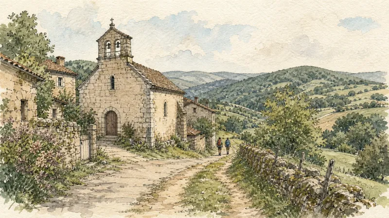
Beauvoir
Château de La Roue All that remains of this château is part of the enclosure wall and the square tower visible from the village. This keep, known as the “Tour de Pierrefort” in tribute to the last lord of the estate, “Hérail de Pierrefort La Roue”, dates from the 14th century and was restored in the 19th century. The original building probably dates back to the 13th century. It was then a powerful feudal château, forming part of the ring of fortifications around the county of Forez. From an early date it belonged to the La Roue family, known since the 12th century, who dominated the Ance valley from their three châteaux: La Roue, Montpeloux and La Chaulme.

Dore Loop
The Livradois-Forez Regional Natural Park, a land of grassland and woodland, promises a memorable journey between valleys and ridges.
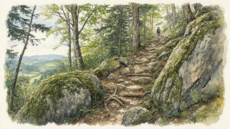
Circuit bleu - Porte de Prabouré
Discover this trail through the heart of Livradois-Forez.

Circuit bleu - Porte des Pradeaux
Discover this trail through the heart of Livradois-Forez.
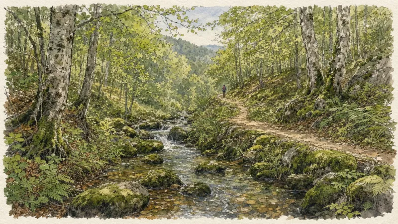
Circuit n°13 Boucles des 7 cols (départ Col des Pradeaux)
Discover this trail through the heart of Livradois-Forez.
Explore Nearby
Complement your visit to Saint-Anthème by exploring these neighboring villages.
Grandrif
A high-altitude journey through deep forested valleys and the industrial echoes of the Forez mountains.
Roche (Roche-en-Forez)
A high-altitude destination where volcanic peaks meet the somber history of the French Resistance amidst ancient shepherd huts.
Saint-Romain
A high-altitude sanctuary on the Forez slopes, offering sweeping southern views and a storied Romanesque church.


