
Elevation Profile
830–1429 m
At a Glance
- Duration
- 8.0hrs
- Distance
- 76.7km
- Elevation +
- +1498 m
- Elevation -
- -1493 m
At a Glance
Live Weather
Departure / Arrival · Col des Pradeaux (Grandrif)
Live conditions
—
Feels like
—
Wind / gusts
—
Visibility
—
Updated: —
Field notes and images
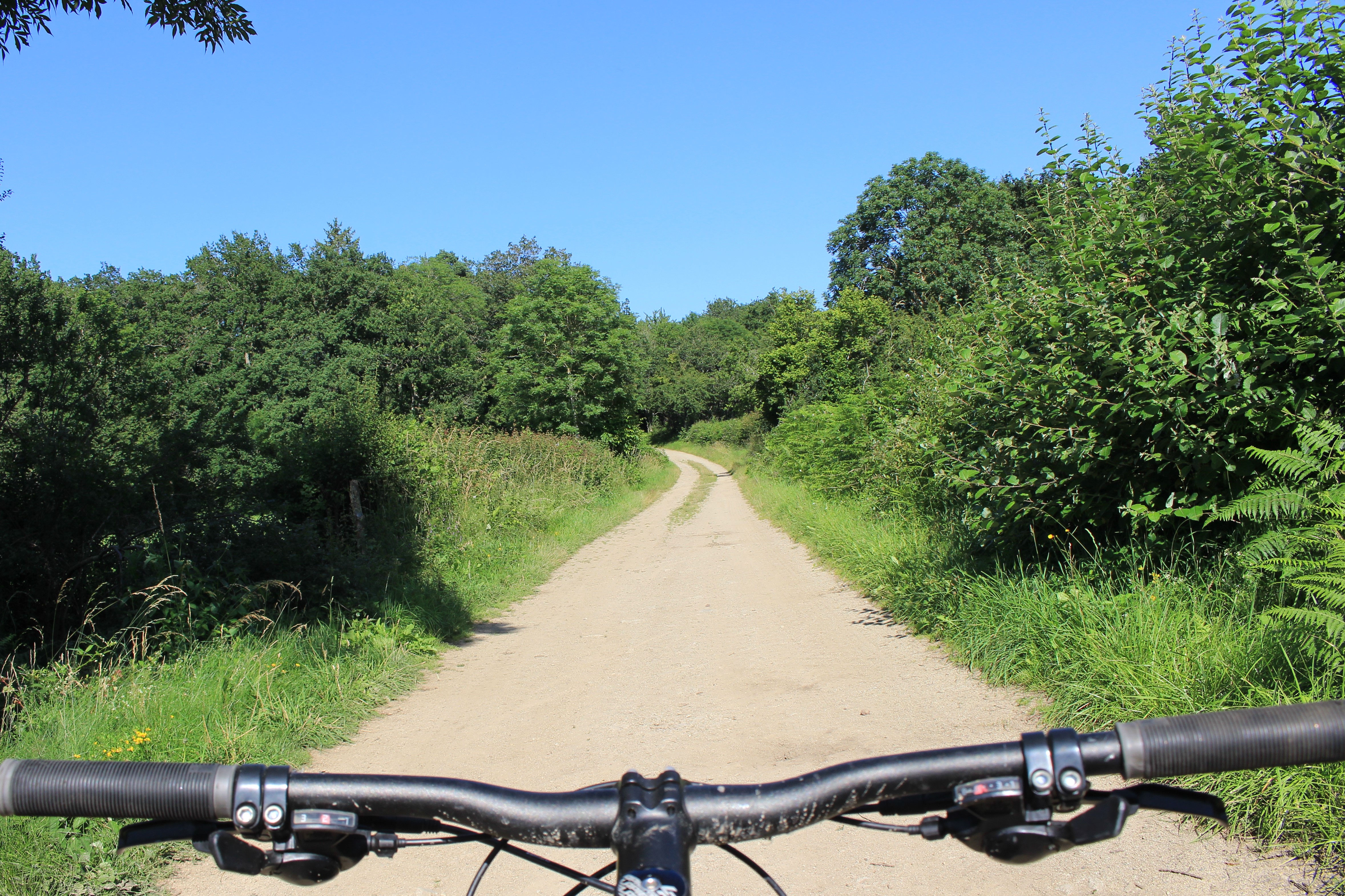
chemin
Captured by MDT LF
Explore Nearby
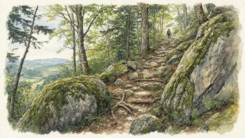
2 days of bivouac on Hautes-Chaumes
Between the jasseries, the peat bogs and the panoramas of the Alps on a clear day, here is a bivouac on the volcanic ridges of Livradois-Forez immersed in nature and accessible by train.
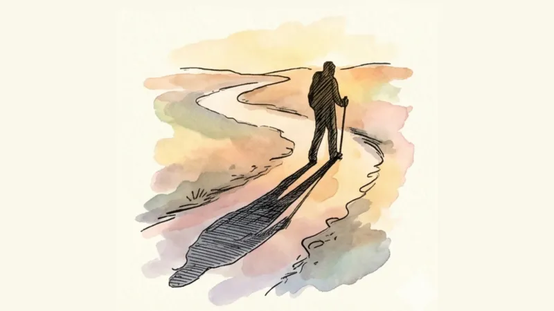
Around Baffie
After walking through a wooded valley, you will admire the beech forest dominating the village. Leaving the beech forest, you will discover the picturesque hamlet of Charrier with its old granite houses. On the way back down, you will admire the view of the Dore valley and the Livradois mountains and return to the small village of Baffie which was once the high place of the lordship of Baffie. This little hike, alone or with the family, is a simple pleasure of a bucolic walk in the forest and if you do not make too much noise you may be able to come across with a little luck a deer, squirrel...
Around the Pradeaux dam
Departure: From the Col des Pradeaux, take the path up to the dam. At the next crossroads, take the path uphill on the right. Before the reservoir, take the path on the right and keep the main path until you reach the woods. Cross the woods opposite and continue opposite until the crossroads of 4 paths. 1. Take the path opposite and continue to the dam. Follow the dam on the right. Towards the “tail” of the dam, take a path going down to the left. Continue to follow the dam on the right and cross the 2 wooden footbridges. 2. At the exit of the second footbridge, turn left on the path and continue to follow the dam for 600m. Cross a small stream on the 3rd footbridge, continue opposite for 300m before going up a path on the right to find the path. 3.Take it on the left and continue to pass next to the dam. At the next crossroads, turn left and keep the main path going down to the Col des Pradeaux.