
Illustration in progress
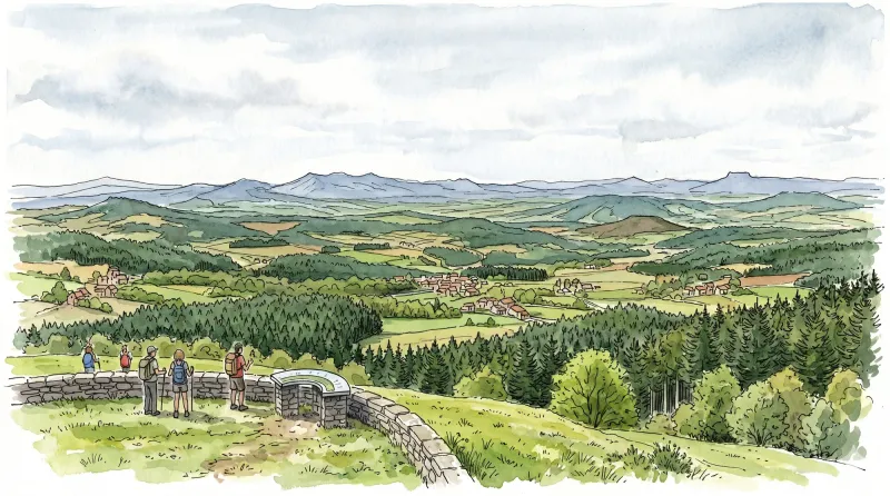
At an elevation reaching nearly 1,300 meters, this commune commands the craggy transition between the Puy-de-Dôme and the Loire. The landscape is defined by its verticality and a profound silence, broken only by the wind through the vast tracts of coniferous and deciduous woods that drape over two-thirds of the territory. Explorers will find the air sharpened by the mountain climate, where the summers remain cool and the light filters through a dense canopy of ancient growth. The stone here feels heavy and enduring, reflecting a history inextricably tied to the high pastures and the timber trade of the Forez mountains.
The human footprint is delicate and scattered, manifesting as a constellation of hamlets rather than a single concentrated center. In places like Sephos or the curiously named Chantegrelet, the architecture speaks of resilience; thick walls and steep roofs are designed to withstand the heavy snowfalls common to these heights. While traversing the narrow routes between these clusters of grey granite, one notices the deliberate placement of buildings against the lee side of the slopes. There is a skeletal beauty in the way the trails weave through the “vanges” and “roures,” connecting isolated farmsteads that have stood for centuries against the encroaching wilderness.
Within this austere setting, the local narrative is punctuated by surprising global connections. It was from the hamlet of Sephos that François-Xavier Jarrige departed in the early 19th century, trading these frost-rimmed peaks for seven decades of service in the heat of India—a testament to the far-reaching spirit of the local peasantry. The village formally adopted the evocative suffix “de-Valorgue” in 1961, a linguistic nod to the valley’s golden light or perhaps its hidden worth. Today, the parish church stands as a quiet sentinel, its modest lines anchoring a community that remains fiercely independent and harmoniously integrated into the rhythm of the surrounding Livradois-Forez.
Local profile
At a Glance
- Population
- 239
- Demonym
- —
- Altitude
- 888–1276 m
- Forest
- 67.9%
residents
local residents
lowest to highest
commune coverage
Did You Know?
“Despite its remote mountain origins, the village produced François-Xavier Jarrige, a missionary who spent seventy consecutive years in India during the 19th century.”
Cultural Heritage
A quiet village with authentic Auvergne charm.
Recent Wildlife & Flora Log
Nature observations recorded within 5km of Saint-Clément-de-Valorgue.
Leptoglossus occidentalis Heidemann, 1910
Banded Grass Snake
Spotted Fritillary
Aphantopus hyperantus (Linnaeus, 1758)
Dark Green Fritillary
Apatura iris (Linnaeus, 1758)
Comma
Judolia cerambyciformis Denton, 2002
Linaria repens (L.) Mill.
Issoria lathonia (Linnaeus, 1758)
Trails around Saint-Clément-de-Valorgue
Discover physical challenges and natural beauty in the immediate vicinity.
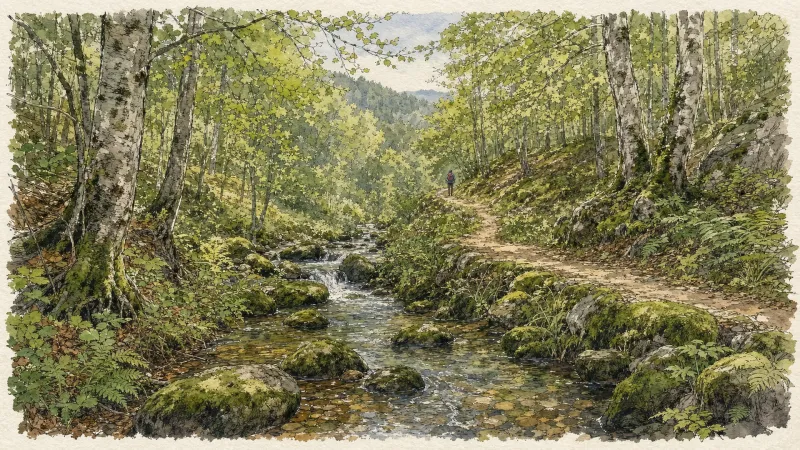
Circuit n°13 Boucles des 7 cols (départ Col des Pradeaux)
Discover this trail through the heart of Livradois-Forez.
Circuit n°1 Au fil de l’Ance
Discover this trail through the heart of Livradois-Forez.
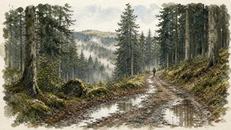
Circuit n°2 Le Bois du Clovis
Discover this trail through the heart of Livradois-Forez.
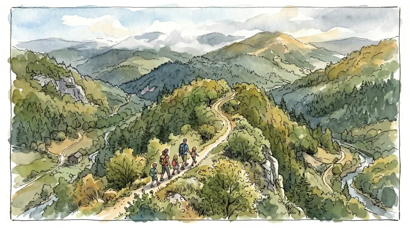
Circuit n°3 Autour de St-Anthème
Discover this trail through the heart of Livradois-Forez.

GR®3 — The Forez Mountains
The GR®3 is a legendary long-distance trail following the Loire, one of Europe’s last wild rivers, for 1,200 km. It begins at the river’s source on Mont Gerbier de Jonc and continues to its estuary near Guérande. The section across the Forez mountains unfolds through a succession of striking panoramas, peat bogs, moorland, winding rivers and vast open spaces.
The Banks of the Ance
This 11.9 km loop starts and finishes at Saint-Clément, with 386 m of ascent and an estimated duration of 3 hr 30 min.
Explore Nearby
Complement your visit to Saint-Clément-de-Valorgue by exploring these neighboring villages.
La Chaulme
A high-altitude sanctuary on the border of the Forez, where granite architecture meets the legends of the Creux de l'Oulette waterfall.
Saint-Romain
A high-altitude sanctuary on the Forez slopes, offering sweeping southern views and a storied Romanesque church.


