
Illustration in progress
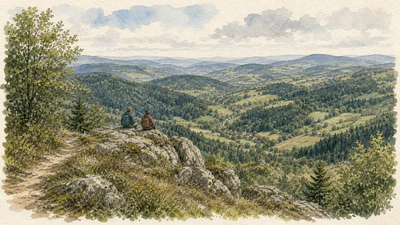
Perched upon a sun-drenched incline of the Forez range, Saint-Romain offers a vantage point that commands the horizon, gazing directly toward the distant peaks of the Ardèche. At altitudes reaching over 1,200 meters, the atmosphere carries a distinct crystalline clarity, typical of these high mountain margins. The village core is shielded from the biting northern currents by the natural curvature of the land, creating a temperate micro-climate where granite dwellings absorb the southern light. This orientation has historically defined the rhythm of life here, as the settlement clings to the hillside amidst a mosaic of dense coniferous forests and ancient, windswept meadows.
The spiritual and architectural anchor of the village is the Église Saint-Romain, a structure whose significance was formally recognized with its induction into the Monuments Historiques registry in 1994. Its masonry speaks to the endurance of the local Romanos, with heavy stones weathered by centuries of alpine winters. Stepping into its presence, one feels the weight of the medieval past, an era when such outposts served as both sanctuary and landmark. The surrounding lanes, etched into the slope, lead past granite lintels and narrow openings designed to preserve warmth, reflecting a functional nobility that eschews modern artifice in favor of enduring form.
Beneath its serene contemporary surface lies a history of ideological fervor; during the height of the French Revolution, the commune underwent a radical rebranding as Romain-Libre-du-Mont-d’Or, stripping away its hagiographic identity in favor of republican ideals. This spirit of independence persists in the scattered hamlets like Valenchères and Burianne, where the forest’s edge meets the pasture in a silent dialogue. Exploring these outlying reaches reveals the remnants of a landscape once far more populous, where the traces of vanished dwellings like Les Gouttes serve as reminders of the region’s shifting human tides. Today, the silence of these woods is profound, offering a contemplative space where the only sound is the wind moving through the dense canopy that blankets sixty percent of the territory.
Local profile
At a Glance
- Population
- 197
- Demonym
- Romanos
- Altitude
- 867–1256 m
- Forest
- 62.7%
residents
local residents
lowest to highest
commune coverage
Did You Know?
“During the French Revolution, the village shed its saintly title to become the defiantly secular "Romain-Libre-du-Mont-d'Or."”
Cultural Heritage
Protected historic monuments in Saint-Romain
Eglise Saint-Romain
Saint-Romain
Recent Wildlife & Flora Log
Nature observations recorded within 5km of Saint-Romain.
Alpine Newt
Leptoglossus occidentalis Heidemann, 1910
carabus auronitens
Banded Grass Snake
Spotted Fritillary
Aphantopus hyperantus (Linnaeus, 1758)
Dark Green Fritillary
Apatura iris (Linnaeus, 1758)
Comma
Judolia cerambyciformis Denton, 2002
Trails around Saint-Romain
Discover physical challenges and natural beauty in the immediate vicinity.
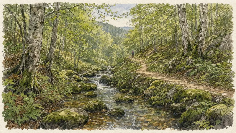
Circuit n°13 Boucles des 7 cols (départ Col des Pradeaux)
Discover this trail through the heart of Livradois-Forez.
Circuit n°1 Au fil de l’Ance
Discover this trail through the heart of Livradois-Forez.
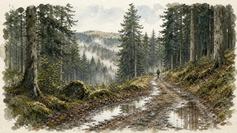
Circuit n°2 Le Bois du Clovis
Discover this trail through the heart of Livradois-Forez.
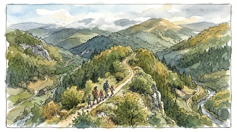
Circuit n°3 Autour de St-Anthème
Discover this trail through the heart of Livradois-Forez.
Happiness Is in the Woods
This 4.6 km loop starts and finishes at Tilleul de Sully, place de Saint Romain, with 139 m of ascent and an estimated duration of 2 hours.
Creux-de-l’Oulette
Discover this trail through the heart of Livradois-Forez.
Explore Nearby
Complement your visit to Saint-Romain by exploring these neighboring villages.
Églisolles
A high-altitude sanctuary where the ruins of feudal fortresses meet the legacy of aviation pioneers amidst a vast expanse of Forezian forest.
Grandrif
A high-altitude journey through deep forested valleys and the industrial echoes of the Forez mountains.
La Chaulme
A high-altitude sanctuary on the border of the Forez, where granite architecture meets the legends of the Creux de l'Oulette waterfall.
Saillant
A high-altitude destination where volcanic basalt organs form a natural theater and ancient water cascades through granite ravines.
Saint-Anthème
A high-altitude sanctuary in the Monts du Forez, where medieval ruins and a "cathedral of the mountains" overlook the pastoral Hautes-Chaumes.
Saint-Clément-de-Valorgue
A high-altitude sanctuary where ancient forests meet the granite ridges of the Forez, offering a meditative atmosphere for the wandering soul.


