
Elevation Profile
867–1154 m
Start: Leaving the cemetery car park, follow the
road towards the village and pass beside the Relais des Orgues. Continue to the right on the D139 for 40 m, then turn left onto the D256 towards Églisolles. After 50 m, descend to the left, then right, using a shortcut that rejoins the road. Follow it to the left for 150 m.
1. Leave the road by the first track on the right. Then branch
left to reach the Ance. Follow the river upstream.
At the bridge, continue to the right through the forest to Bostfranchet (ruins of a small château). Climb to the right by road to the D139.
2. Follow the road to the left for 300 m and turn left by the
chalet onto the parallel road, which rejoins the D139 further on.
3. Cross straight over onto the small road, then turn right onto a path leading to the Volcan de Montpeloux.
4. Branch left onto the road to cross the village of Montpeloux. On leaving the village, take the track
on the right after the last chalet. Continue through the woods for 1 km, keeping right.
5. Cross the D257 and continue climbing through the woods.
6. At the junction by the clearing, turn right, then left at the first fork. At the next fork, turn right. Then turn left twice to reach another marshy clearing, which you must cross straight ahead (off-route “cascade” sign: do not follow it).
7. Continue straight ahead. Before the Oulette stream, turn
right alongside a fence. Descend through the beech and conifer forest, then turn left at the junction. At the next junction, continue on the route to the right (a path to the Creux de l’Oulette waterfall can be followed to the left). For your safety, always approach the site from below.
8. The steep, rocky path descends quickly to
a junction. Turn right onto a forest track. At the next junction, continue to the left as far as Le Mont.
9. Cross the hamlet and continue to the right on the D256. After 200 m, branch right onto a track that cuts across the bend. Cross the road and descend to the junction (Croix de Fangody). Take the path on the right, cross the road again and climb to Bichelonne.
10. In the hamlet, immediately take the road to the left to
return to Saillant below.
At a Glance
- Duration
- 3.3hrs
- Distance
- 12.2km
- Elevation +
- +354 m
- Elevation -
- -354 m
At a Glance
Live Weather
Departure / Arrival · Saillant
Live conditions
—
Feels like
—
Wind / gusts
—
Visibility
—
Updated: —
Important Advice
CAUTION - START MOVED TO THE CEMETERY CAR PARK
Field notes and images
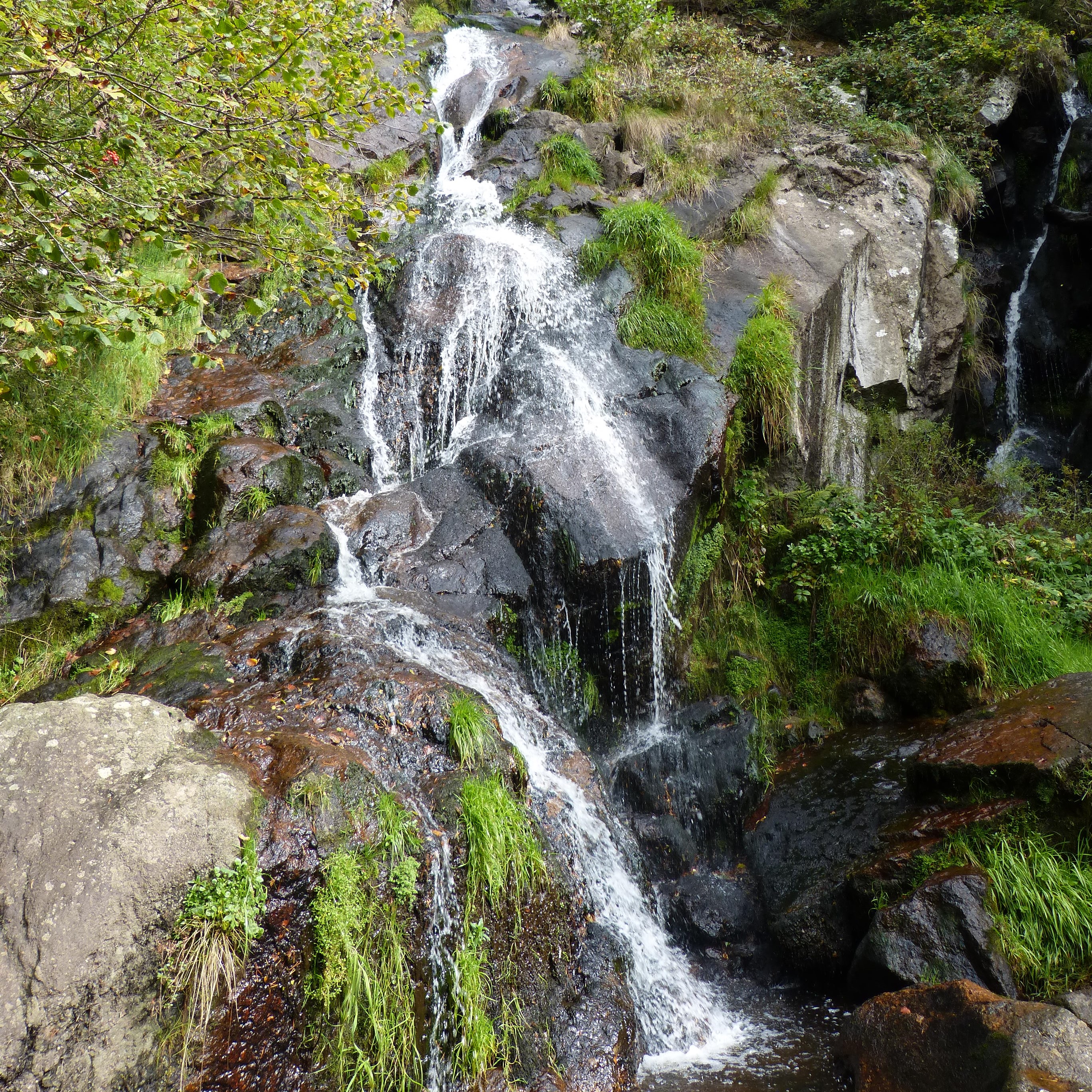
Cascade du Creux de l'Oulette
Captured by MDT
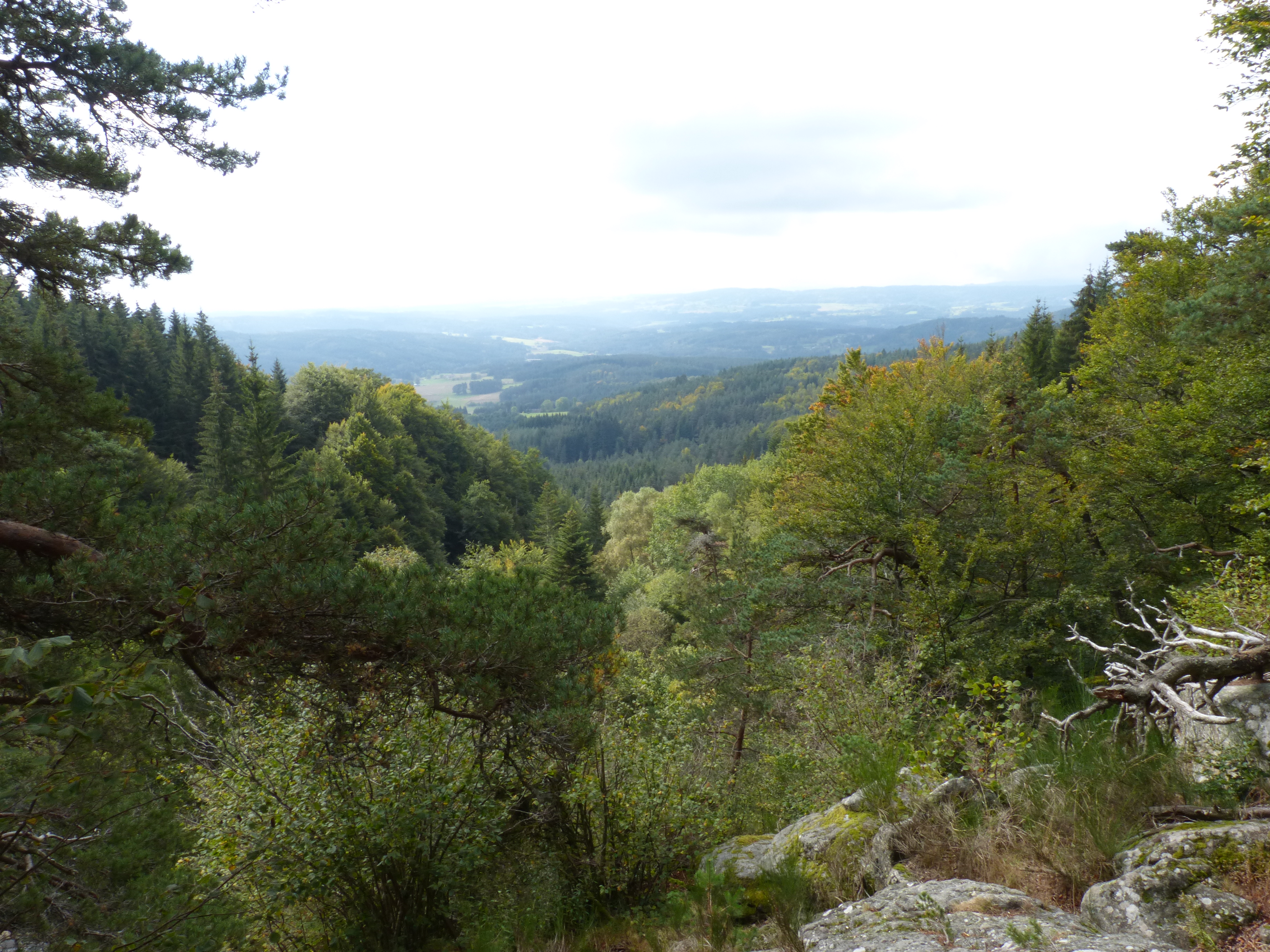
Panorama à proximité de la cascade du Creux de l'Oulette
Captured by MDT
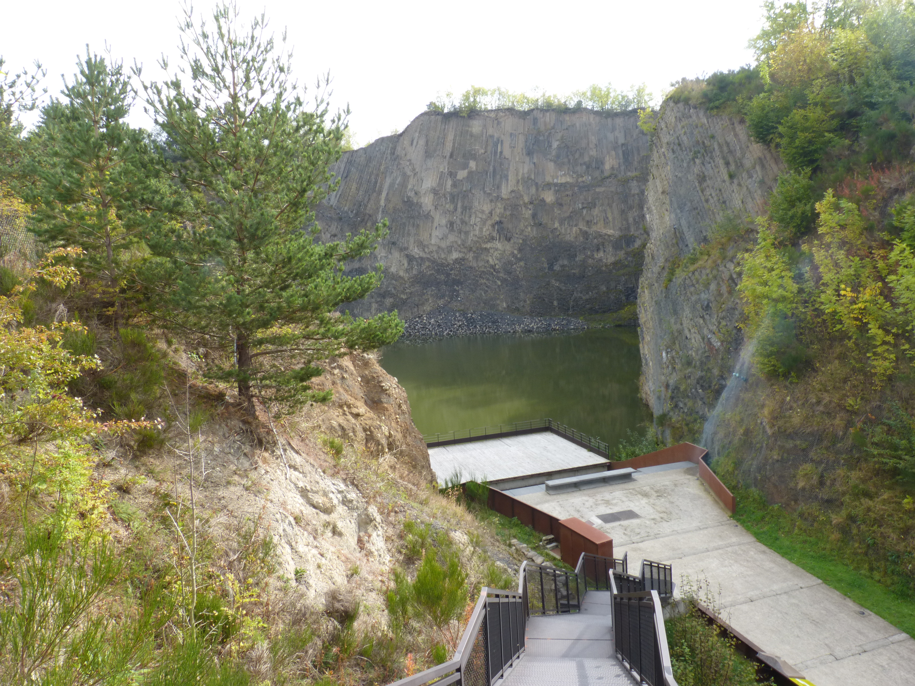
Volcan de Montpeloux
Captured by MDT
Explore Nearby

Dore Loop
The Livradois-Forez Regional Natural Park, a land of grassland and woodland, promises a memorable journey between valleys and ridges.
Circuit n°11 Les Orgues de Montpeloux
Discover this trail through the heart of Livradois-Forez.

Circuit n°12 Grand Tour en Vallée de l’Ance
Discover this trail through the heart of Livradois-Forez.