
Illustration in progress
At an elevation where the air thins and the horizon expands toward the Forez crests, La Chaulme stands as a silent sentinel on the border of the Puy-de-Dôme and the Loire. This high-altitude outpost, sitting at 1,150 meters, is defined by its rugged isolation and a landscape dominated by the ancient, dense canopy of the Livradois-Forez. Granite outcrops punctuate the rolling greenery, where the scent of damp pine and wild earth prevails over any hint of urbanity. To walk through its sparsely populated lanes is to encounter the raw, unyielding character of the Auvergne highlands, where the passage of time is measured by the slow growth of lichen on stone walls and the shifting shadows of the surrounding peaks.
A short excursion from the village core reveals the visceral power of the Creux de l’Oulette, a waterfall that plunges into a dark, swirling basin carved by millennia of hydraulic force. The name itself whispers of local folklore, evoking the image of a small cauldron where the mountain’s spirits might dwell. Here, the spray of the water creates a microclimate of mossy brilliance, contrasting with the somber grey of the volcanic rock. The descent toward the falls is a sensory journey through tangled undergrowth and the rhythmic roar of the cascade, offering a moment of profound communion with the elemental forces that have shaped this high plateau.
The architectural heart of the commune is the Église Saint-Jean-Baptiste, a structure of austere beauty that has weathered the harsh mountain winters since the 17th century. Its stones hold the collective memory of a community that has persisted since at least 1665, as evidenced by the meticulously preserved parish registers. Beyond the central square, the settlement fractures into a constellation of ancient hamlets—Ferreol, Montchouvet, and Chenereilles—each a collection of stout farmsteads built to withstand the biting winds of the Massif Central. These clusters of grey stone and slate roofs appear as natural extensions of the landscape, providing a poignant testament to the rural resilience that defines the high-altitude life of the Forez.
Local profile
At a Glance
- Population
- 118
- Demonym
- —
- Altitude
- 984–1280 m
- Forest
- 68%
residents
local residents
lowest to highest
commune coverage
Did You Know?
“The name "Creux de l'Oulette" for the local waterfall derives from an old legend involving a small cauldron (oulette), referring to the deep, swirling basins carved into the volcanic rock by the force of the water.”
Cultural Heritage
Protected historic monuments in La Chaulme
Eglise Saint-Jean-Baptiste
La Chaulme
Recent Wildlife & Flora Log
Nature observations recorded within 5km of La Chaulme.
Alpine Newt
Banded Grass Snake
Red Admiral
Spotted Fritillary
Aphantopus hyperantus (Linnaeus, 1758)
Dark Green Fritillary
Apatura iris (Linnaeus, 1758)
Comma
Judolia cerambyciformis Denton, 2002
Linaria repens (L.) Mill.
Trails around La Chaulme
Discover physical challenges and natural beauty in the immediate vicinity.
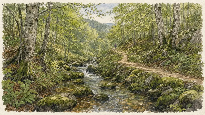
Circuit n°13 Boucles des 7 cols (départ Col des Pradeaux)
Discover this trail through the heart of Livradois-Forez.

GR®3 — The Forez Mountains
The GR®3 is a legendary long-distance trail following the Loire, one of Europe’s last wild rivers, for 1,200 km. It begins at the river’s source on Mont Gerbier de Jonc and continues to its estuary near Guérande. The section across the Forez mountains unfolds through a succession of striking panoramas, peat bogs, moorland, winding rivers and vast open spaces.

La Chaulme Montarcher
D: Opposite the town hall, take the road on the left and follow the first stone path on the right. Cross a stream then continue on a forest track to join the D258. 1. Continue opposite, and turn right onto a path which leads to the Borel stream (border between the Puy-de-Dôme and Loire departments). At the crossroads, turn left to go up to Montformont. 2. Arriving at the place, turn right on the road, leaving the path going down to the right. It becomes a path through the forest to reach Mandon. Go up the road on the left to cross the D44. Follow a path opposite then cut the D14 in the direction of Le Vernet. 3. At the intersection, turn left to cross La Guette. At the next intersection, go up to the right to visit the village of Montarcher following the GR3 (12th century Romanesque church, views of the surrounding mountains). At the exit of the village, turn left into the car park to join a path which goes down passing near the wash house. Come out and then follow the D14.5 on the left for 300 m. 4. Cross the village on the right and before the exit, turn left onto the road which becomes a path. At the intersection, go down to the right towards Monty (before the hamlet, viewpoint towards the East and South over Pilat, the Alps, Velay and Vivarais). In the village, continue left to reach the D14. 5. At the corner of the house, turn left onto the D14 for 80 m then turn right, direction La Faye. Cross the Andrable river. At the top of the place, follow a balcony path on the left which enters the woods. Continue on a slightly steep path which climbs sharply. At the crossroads, head straight ahead to join the D96. 6. Cross the D96 opposite and continue until the road which you follow to the left for 100 m. Take a path on the right which leads to the Chapel of Notre-Dame-de-Toutes-Grâces. Then join La Chaulme.
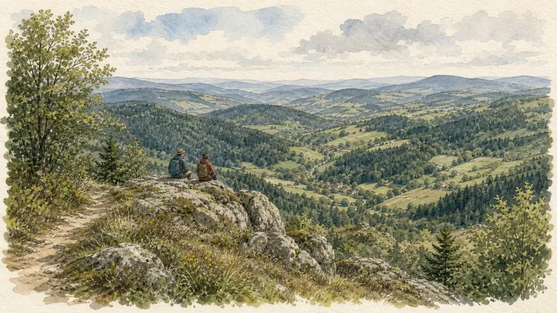
Creux-de-l’Oulette
Discover this trail through the heart of Livradois-Forez.
Explore Nearby
Complement your visit to La Chaulme by exploring these neighboring villages.
Saillant
A high-altitude destination where volcanic basalt organs form a natural theater and ancient water cascades through granite ravines.
Saint-Romain
A high-altitude sanctuary on the Forez slopes, offering sweeping southern views and a storied Romanesque church.


