
Elevation Profile
986–1185 m
D: Opposite the town hall, take the road on the left and follow the
first stone path on the right. Cross a stream then continue on a forest track to join the D258.
1. Continue opposite, and turn right onto a path which leads to the Borel stream (border between the Puy-de-Dôme and Loire departments). At the crossroads, turn left to go up to Montformont.
2. Arriving at the place, turn right on the road, leaving the path going down to the right. It becomes a path through the forest to reach Mandon. Go up the road on the left to
cross the D44. Follow a path opposite then cut the D14 in the direction of Le Vernet.
3. At the intersection, turn left to cross La Guette. At the next intersection, go up to the right to visit the village of Montarcher following the GR3 (12th century Romanesque church, views of the surrounding mountains). At the exit of the village, turn left into the car park to join a path which goes down passing near the wash house. Come out and then follow the D14.5 on the left for 300 m.
4. Cross the village on the right and before the exit, turn left onto the road which becomes a path. At the intersection, go down to the right towards Monty (before the hamlet, viewpoint towards the East and South over Pilat, the Alps, Velay and Vivarais). In the village, continue left to reach the D14.
5. At the corner of the house, turn left onto the D14 for 80 m
then turn right, direction La Faye. Cross the
Andrable river. At the top of the place, follow a balcony path on the left which enters the woods. Continue on a slightly steep path which climbs sharply. At the crossroads, head straight ahead to join the D96.
6. Cross the D96 opposite and continue until the road which you follow to the left for 100 m. Take a path on the right which leads to the Chapel of Notre-Dame-de-Toutes-Grâces. Then join La Chaulme.
At a Glance
- Duration
- 4.0hrs
- Distance
- 13.0km
- Elevation +
- +371 m
- Elevation -
- -368 m
At a Glance
Live Weather
Departure / Arrival · Mairie, La Chaulme
Live conditions
—
Feels like
—
Wind / gusts
—
Visibility
—
Updated: —
Field notes and images
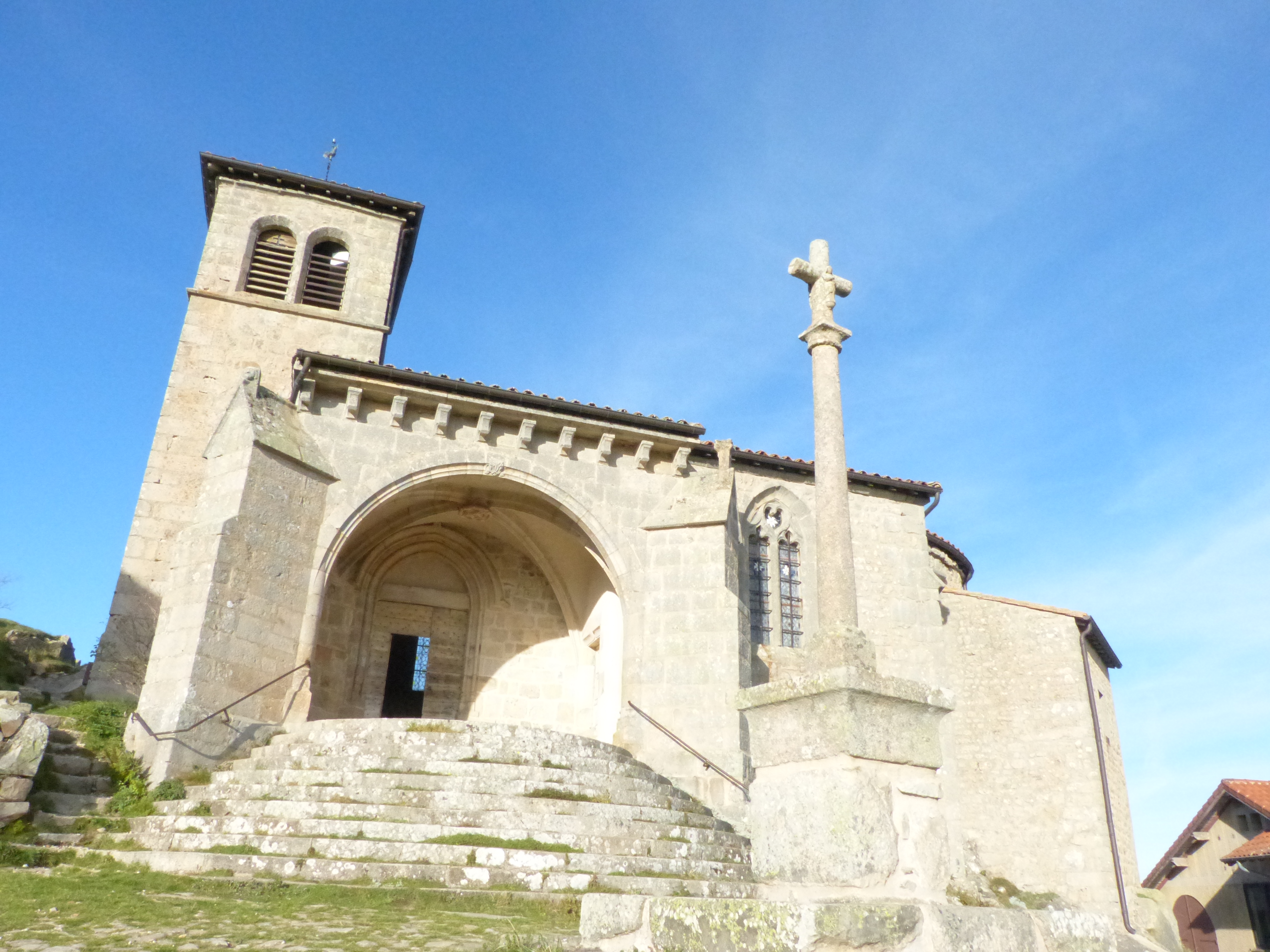
L'église de Montarcher
Explore Nearby
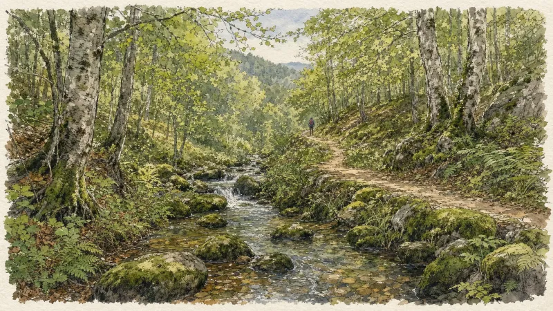
Circuit n°13 Boucles des 7 cols (départ Col des Pradeaux)
Discover this trail through the heart of Livradois-Forez.

GR®3 — The Forez Mountains
The GR®3 is a legendary long-distance trail following the Loire, one of Europe’s last wild rivers, for 1,200 km. It begins at the river’s source on Mont Gerbier de Jonc and continues to its estuary near Guérande. The section across the Forez mountains unfolds through a succession of striking panoramas, peat bogs, moorland, winding rivers and vast open spaces.
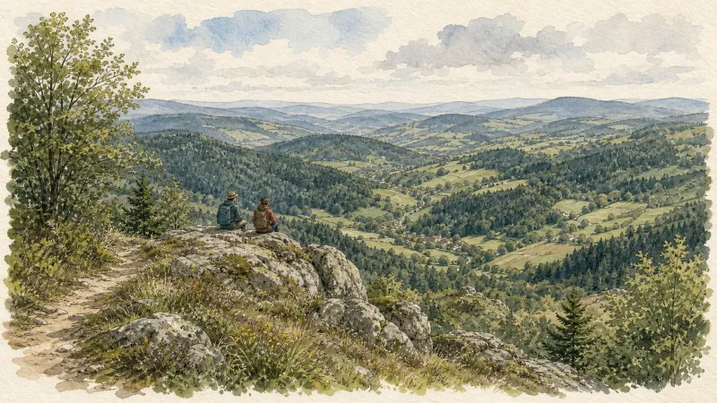
Creux-de-l’Oulette
Discover this trail through the heart of Livradois-Forez.