
Elevation Profile
498–1612 m
Day 1: From Vertolaye to Hautes Chaumes
Duration: 5h30
Kilometer: 16.8 km
Elevation +: 1,190 m
Elevation -: 100 m
Come on, let's go! You leave the village of Vertolaye via a path which gradually climbs through woods and meadows. As you gain altitude, the deciduous trees give way to the large open spaces typical of Hautes Chaumes: tall grass, heather, and total silence.
The atmosphere quickly becomes unique. Up there, it's another world - a large open plateau where jasseries (summer farms), rounded ridges and perched peat bogs follow one another. You walk in the open, with panoramic views of the Monts du Livradois-Forez on one side, and sometimes as far as the Alps if the weather is cool.
At the end of the day, you set up your bivouac wherever you want on the ridge, on a flat area away from the wind. With a little luck, you will see the sky ablaze above the ridges... and maybe even hear the wind singing in the grass.
Day 2: From Hautes Chaumes to Vertolaye
Duration: 5h30
Kilometer: 17.8 km
Elevation +: 240 m
Elevation difference –: 1,330 m
You start the day gently, following the high altitude meadows and peat bogs that characterize the Hautes Chaumes. The path descends gradually, crossing a few wetlands before reaching the undergrowth lower in altitude.
The descent is long and regular, with plenty of views of the valley, the villages below and the surrounding mountains. You benefit from a less frequented path than the climb the day before, which gives you the impression of being in total immersion in the wild nature of Forez.
Arriving at the village of Vertolaye, you finish this loop with the sensation of having discovered a preserved landscape, between vast open spaces and small secret corners. A beautiful combo between effort, calm, and raw nature.
At a Glance
- Duration
- 48.0hrs
- Distance
- 34.1km
- Elevation +
- +1497 m
- Elevation -
- -1495 m
At a Glance
Live Weather
Departure / Arrival · Vertolaye
Live conditions
—
Feels like
—
Wind / gusts
—
Visibility
—
Updated: —
Important Advice
This circuit follows part of marked paths and trails. Follow the GPX track carefully.
Where can you find drinking water points on the route?
You will find several sources and streams, particularly near the jasseries, but some can be intermittent depending on the season. Remember to bring a filter or water treatment.
Do you need authorizations to bivouac?
There are no specific regulations for the Livradois-Forez PNR, French regulations apply. It specifies that it is prohibited to bivouac:
- On public roads,
- Less than 500 m from a historic monument,
- Less than 200 m from a water point intended for consumption,
- In National Nature Reserves, Prefectural Biotope Protection Orders and National Biological Reserves (you can use Geoportail to find out their perimeter),
- In the Jasseries de Colleigne and Malaguet Regional Nature Reserves,
- In certain areas defined by reasoned municipal or prefectural decrees.
Are dogs accepted on this route?
Yes, provided they are kept on a leash.
Field notes and images

Bivouac sur les Hautes-Chaumes
Captured by Jean Rebillard
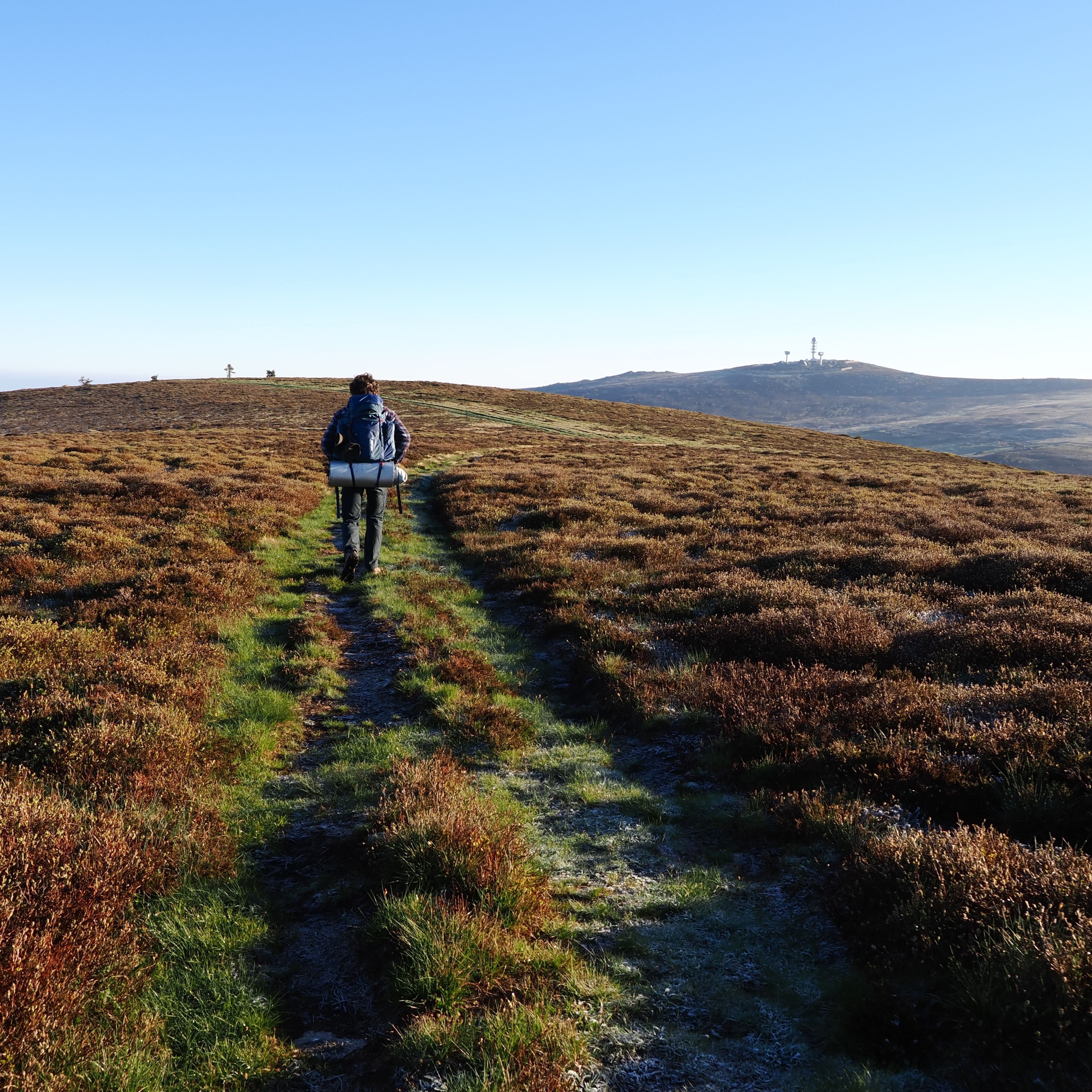
Chemin sur Monthiallier
Captured by Jean Rebillard
Explore Nearby

Dore Loop
The Livradois-Forez Regional Natural Park, a land of grassland and woodland, promises a memorable journey between valleys and ridges.
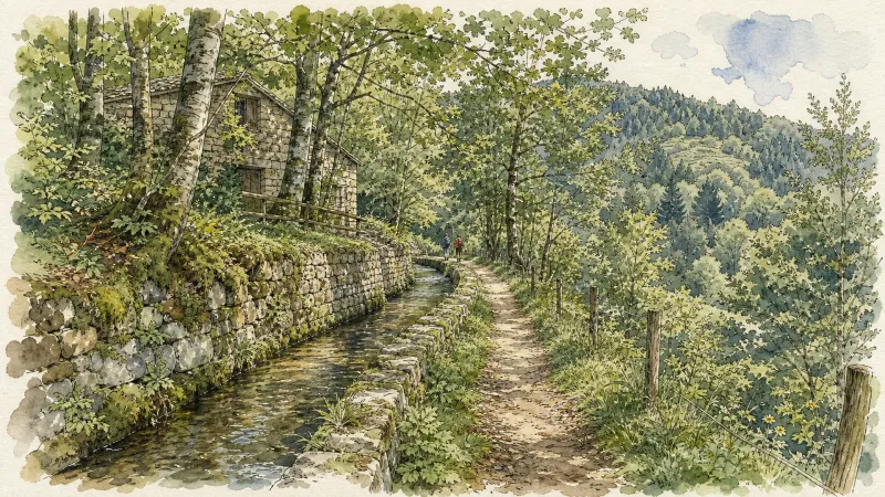
Circuit bleu - Porte des Supeyres
Discover this trail through the heart of Livradois-Forez.

Forez Circuit — Les Hautes-Chaumes (Loop No. 5)
This route reveals nature that is still wild in places: Livradois-Forez and its vast, rolling upland plateaus, including Les Hautes-Chaumes.