
Elevation Profile
862–975 m
D: From the town hall, go up to the main road. Follow it to the left to leave the village.
1. 50 m further on, leave the road on the right via the path going up through the woods. Continue to climb, passing below the hamlet of Barbes. Then go down and pass the Baffie stream before going up through the beech forest. Continue straight through the woods to Charrier.
2. In sight of the hamlet, turn right and begin to descend again through the woods (view of the Ambert plain and the Livradois mountains).
3. After a clear cut and with a view of the first house in the hamlet of Vernet, turn right along a path which crosses the level valley. At the intersection with a forest path, go down left until you reach the road.
4. Turn right and continue on the road for 600 m. Below the village, turn right and climb a steep path through old gardens, to arrive at the church square (Saint-Nicolas Church). Turn right onto the main street to find the starting point.
At a Glance
- Duration
- 1.3hrs
- Distance
- 4.1km
- Elevation +
- +119 m
- Elevation -
- -119 m
At a Glance
Live Weather
Departure / Arrival · Baffie
Live conditions
—
Feels like
—
Wind / gusts
—
Visibility
—
Updated: —
Field notes and images
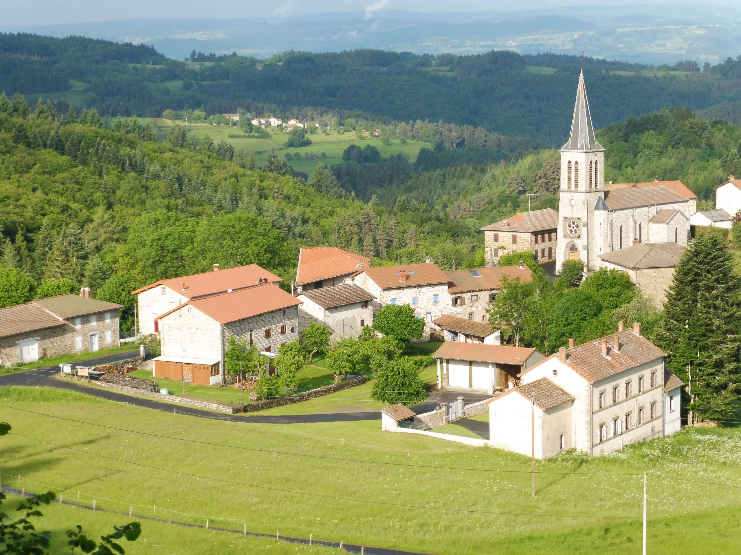
Vue sur le bourg de Baffie
Explore Nearby

Dore Loop
The Livradois-Forez Regional Natural Park, a land of grassland and woodland, promises a memorable journey between valleys and ridges.
Circuit n°12 Grand Tour en Vallée de l’Ance
Discover this trail through the heart of Livradois-Forez.
Circuit n°13 Boucles des 7 cols (départ Col des Pradeaux)
Discover this trail through the heart of Livradois-Forez.