
Illustration in progress
Sauvessanges occupies a singular position upon the granitic dorsal that cleaves the basins of the Dore and the Loire. This is not a landscape shaped by the slow erosion of water, but rather a geological drama where the Ance river occupies a profound tectonic trench—a fracture in the ancient mass of the Forez. At an altitude reaching nearly 1,150 meters, the terrain is punctuated by discrete volcanic echoes, with stark basaltic outcroppings such as those at nearby Fromentier. Walking these heights, one senses the weight of three departments—Puy-de-Dôme, Loire, and Haute-Loire—converging at a high, rugged frontier where the horizon is defined by the rigid, uncompromising lines of the Massif Central.
The village center provides a moment of architectural density within a territory otherwise defined by a fragmented, sparse habitat. The local church, a stoic sentinel of grey stone, anchors the commune with its historical gravity, its walls reflecting centuries of mountain endurance. The heraldry of the region—a golden lion and a silver laurel crown—speaks to a noble past that contrasts with the raw, unyielding nature of the surrounding plateau. In the central square, the rhythmic tolling of the bell serves as the primary heartbeat in a landscape where the wind frequently dictates the silence and the stone remains cool even in the height of August.
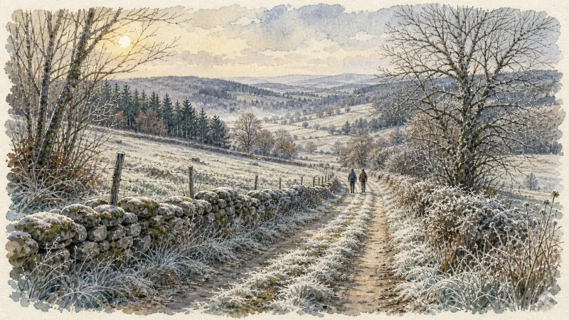
Dense woodlands claim over half of the communal soil, creating a tapestry of deep greens that shifts with the sharp mountain light. This is a realm of scattered hamlets with evocative names like Loubardanges and Sarras, where the human presence feels like a quiet, centuries-old negotiation with the elements. The climate here is unapologetically montane; the summers are fleeting and crisp, while the winters wrap the granite in a persistent, crystalline quiet. For those seeking an afternoon of solitary reflection, the tracks through these high forests offer a textural richness of moss-covered stone and ancient timber, far removed from the modern pace of the valleys below.
Local profile
At a Glance
- Population
- 531
- Demonym
- Sauvessangeois
- Altitude
- 776–1142 m
- Forest
- 56%
residents
local residents
lowest to highest
commune coverage
Did You Know?
“The commune welcomed Valéry Giscard d'Estaing twice during his political ascent, once as a counselor and later as a minister, marking the village's quiet significance in the mid-20th-century Auvergne landscape.”
Cultural Heritage
A quiet village with authentic Auvergne charm.
Recent Wildlife & Flora Log
Nature observations recorded within 5km of Sauvessanges.
Milà reial
Red Admiral
Green Leaf Weevil
Blue Featherleg
Aphantopus hyperantus (Linnaeus, 1758)
Stictoleptura rubra (Linnaeus, 1758)
Common Frog
Willowherb Hawk-moth
Beautiful Agrion
Marbled White
Trails around Sauvessanges
Discover physical challenges and natural beauty in the immediate vicinity.

Circuit n°10 Cols du Dansadoux et de Pramort
Discover this trail through the heart of Livradois-Forez.
Circuit n°12 Grand Tour en Vallée de l’Ance
Discover this trail through the heart of Livradois-Forez.
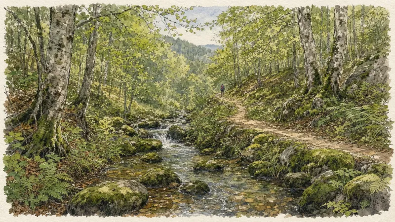
Circuit n°13 Boucles des 7 cols (départ Col des Pradeaux)
Discover this trail through the heart of Livradois-Forez.
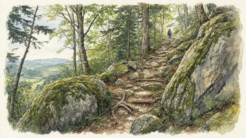
Circuit n°8 Vues sur Viverols
Discover this trail through the heart of Livradois-Forez.
Circuit n°9 De Chemintand à Viverols
Discover this trail through the heart of Livradois-Forez.
From La Ligonne to the Ance
This 10.3 km loop starts and finishes at Viverols, with 237 m of ascent and an estimated duration of 3 hours.
Explore Nearby
Complement your visit to Sauvessanges by exploring these neighboring villages.
Medeyrolles
A high-altitude sanctuary where the granite of the Forez meets a dense sea of spruce, offering a quiet, contemplative atmosphere for travelers seeking the raw textures of the Auvergne heights.
Viverols
A medieval stronghold where the skeletal remains of a pentagonal fortress preside over the Ance valley, offering a journey through the legacy of the Baffie and Alègre dynasties.


