
Illustration in progress
High upon the spinal ridge of the Monts du Forez, La Chambonie exists as a sparse collection of stone dwellings anchored against the Pic du Vimont. The landscape is dominated by a staggering seventy-seven percent forest cover, where the air carries the sharp, cold scent of damp moss and resinous fir. The river La Faye carves a silver vein through the granite terrain, marking the ancient threshold between the Auvergne and the Forez. Here, the silence is heavy and purposeful, broken only by the rustle of wild boar through the thick undergrowth or the rhythmic drip of mountain water into the communal basins.
The historical weight of this hamlet is disproportionate to its humble size, rooted in a peculiar royal favor that endured until the Revolution. Legend and record suggest that the quality of the timber grown in these high-altitude glades was so superior that it caught the eye of the French monarchy; Charles VIII, and later Henri IV, reportedly granted the inhabitants total immunity from the taille tax in exchange for the long, straight ash poles required for royal lances. This legacy of craftsmanship defines the local identity, evoking a time when the strength of a kingdom’s cavalry depended on the integrity of Forez wood. To wander the village paths is to encounter the ghost of this strategic past, where the forest was not merely a backdrop but a vital arsenal for the crown.
At the heart of the settlement, the 17th-century Église Saint-Roch stands as a stoic sentinel, its walls embedded with fragments of much older civilizations. Curiously, the structure incorporates stones bearing Roman inscriptions, a tactile connection to the imperial routes that once traversed these heights. Nearby, three 19th-century mission crosses rise from the earth, their weathered silhouettes serving as markers of spiritual reclamation in the wake of the Revolution. The inquisitive traveler will also find two spring-fed washhouses, where the stonework remains slick and dark, channeling the crystalline mountain runoff that has sustained this remote community for centuries.
Local profile
At a Glance
- Population
- 39
- Demonym
- Chambougnats
- Altitude
- 940–1383 m
- Forest
- 77.2%
residents
local residents
lowest to highest
commune coverage
Did You Know?
“King Charles VIII granted the village total tax immunity in 1495 because its forests produced the finest ash wood for his royal lances.”
Cultural Heritage
A quiet village with authentic Auvergne charm.
Recent Wildlife & Flora Log
Nature observations recorded within 5km of La Chambonie.
Aubretia
Common Heather
Griva
Wood Anemone
Lousewort
Iris × hybrida Retz.
Panorpa germanica Linnaeus, 1758
Eurasian Yellow Bunting
Eurasian Nuthatch
Lullula arborea (Linnaeus, 1758)
Trails around La Chambonie
Discover physical challenges and natural beauty in the immediate vicinity.
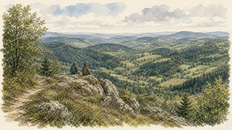
The Bridges Circuit
Start: From the church in La Renaudie. Descend the main road (D102), then continue straight ahead at the junction onto the D41 (towards Le Brugeron). Follow the D41 to the Croix de Ste Agathe. Take the road on the right towards Le Clef (view of the village of La Renaudie). At the entrance to the hamlet, just after a barn, take the stony track on the right; pass the renovated house and continue along the grassy track. Continue for approximately 800 m from Le Clef, then turn sharply right to cross the Rioubet stream. Climb the same track to La Chossonie. 1. Just after the first house, leave the road for the track descending slightly to the left. At the fork, continue right (view of the Chaîne des Puys). At the entrance to La Vialle, immediately climb to the right. At the top of the village, cross the D41 and take the track opposite between 2 low walls. On the climb, leave the track and turn left (view of the Sancy massif and the Chaîne des Puys). Continue straight ahead, then turn left near the cross. 2. On reaching the hamlet of Thérias (on a bend), follow the road to the left for 50 m, then turn right towards Les Gouttes at the junction. 20 m farther on, at the cross, leave the road and take the track on the left. At the junction, take the small road opposite (towards La Chaugne). 15 m farther on, leave this road for the track on the right. Cross the stream and continue straight ahead. Pass alongside a hamlet (Les Champs-Elysées) and, at the junction, continue on the same track opposite to Le Garret. 3. In the village, climb the small road opposite to reach the D41. Cross it and take the track opposite. At the fork, continue straight ahead. In the hamlet of Le Cheix, go around the house and continue through the forest to the ruins of the village of Vironesse. 4. At the ruins, continue along the main track for approximately 250 m, then turn onto the first track on the right. Remain on the same track to the Pale stream. Follow the stream on its left-hand side (the track is very wet in places) to reach the D 317. 5. Follow it to the right for 500 m. On reaching the hamlet of La Goutte, take the D 102 to the right (towards La Renaudie). 150 m farther on, on the bend, turn left and follow the right-hand edge of the field. At the junction, take the track on the right. Follow this climbing track for 1.5 km, then turn left at a crossroads of 4 tracks. Remain on the main track until you reach a road. 6. Follow the road to the right for 200 m, then turn right. Beside a ruin, continue straight ahead; follow the Couzon stream. Ignore the forest track branching right and remain on the same track to a ford. 7. Just before the ford, take the track bearing right. Follow the road to the left, then take the first track on the left. At the fork, continue straight ahead. At the junction of several tracks, turn left and then immediately right. Follow the same track to a road. 8. Follow it to the left, then turn left at the next junction. 150 m farther on, turn left again and cross the fields. On reaching the D 101 at the entrance to the village of La Chambonie, beside the cemetery, turn right for 5 m and then immediately take the road on the right. Follow it for 500 m. 9. Beside a small wrought-iron cross, just before an isolated house, turn right and climb through the woods. At the top of the hill, take the clearest track on the right. On leaving the woods, turn sharply left. 10. Follow the road to the right. Cross the hamlet of Le Verdier and remain on the same road. Follow the D 41 to the right. At the large junction, leave the D 41 and take the D102 to the right (towards La Renaudie). Enter the village and return to the church.
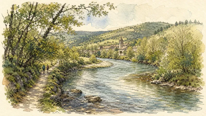
Du col de la Loge au col du Béal (circuit route n°6)
Discover this trail through the heart of Livradois-Forez.

GR®3 — The Forez Mountains
The GR®3 is a legendary long-distance trail following the Loire, one of Europe’s last wild rivers, for 1,200 km. It begins at the river’s source on Mont Gerbier de Jonc and continues to its estuary near Guérande. The section across the Forez mountains unfolds through a succession of striking panoramas, peat bogs, moorland, winding rivers and vast open spaces.
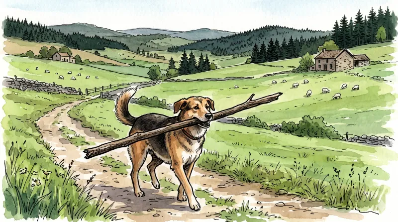
Great Livradois-Forez Mountain-Bike Traverse
In the heart of Auvergne, the Great Livradois-Forez Traverse takes you around the Livradois-Forez Regional Natural Park, between two mountain ranges rising from 400 m to 1,600 m.
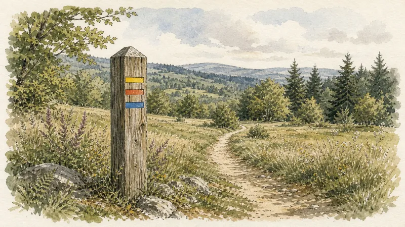
Le Haut-Forez (circuit n°64)
Discover this trail through the heart of Livradois-Forez.
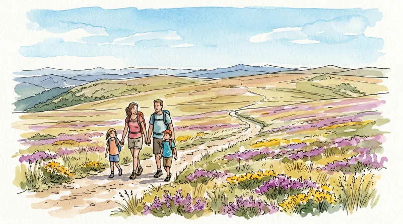
Le novice (circuit n°61)
Discover this trail through the heart of Livradois-Forez.
Explore Nearby
Complement your visit to La Chambonie by exploring these neighboring villages.
Chalmazel-Jeansagnière
A high-altitude sanctuary in the Monts du Forez, where medieval granite architecture meets the wild, windswept plateaus of the Hautes Chaumes.
La Chamba
A high-altitude sanctuary in the Monts du Forez where the air thins and the silence of the fir forests reigns over a landscape of sparse granite and winter traditions.
La Renaudie
An elevated ascent into the dense forestry of the Forez, where megalithic stones and botanical paths offer a contemplative afternoon spent under the shadow of the Massif Central.
Le Brugeron
A high-altitude sanctuary on the Forez slopes, defined by dense fir forests and a church housing rare mechanical harmoniums that once automated the village's liturgical music.
Vollore-Montagne
A high-altitude sanctuary on the western spine of the Monts du Forez, where granite monoliths and 14th-century boundary stones tell of medieval lineages and geological wonders.


