
Illustration in progress
Ascending toward the Vimont summit, the landscape sheds its pastoral softness for the rigorous, windswept character of the high Forez. Here, at altitudes exceeding 1,300 meters, the air carries a sharp, resinous clarity, and the horizon is dominated by the dense, obsidian-green canopy of ancient fir forests. The commune exists as a collection of granite outcroppings and scattered dwellings, where the geology of the Massif Central dictates the rhythm of life. Visitors will notice the texture of the lichen-crusted stone and the way the light fractures through the heavy timber, creating a sense of isolation that is both profound and invigorating.
The local coat of arms—a curious, modern composition featuring a cross-country skier and a spray of blueberries—serves as a literal map of the commune’s soul. At the Col de la Loge, the elevation reaches 1,253 meters, offering a vast, undulating theater for Nordic pursuits when the snow blankets the heights. During the warmer months, this pass reveals the “hautes chaumes,” those high-altitude meadows where the fragrance of wild myrtle and mountain flora replaces the winter frost. The movement of the wind across these ridges provides a stark contrast to the sheltered valleys below, demanding a slower pace to appreciate the subtle shifts in the highland ecology.
The Église Sainte-Madeleine stands as a quiet sentinel of faith in a territory where the human footprint has retreated to a mere forty souls. Its architecture is a testament to endurance, built to withstand the heavy precipitation and mountain winters that define the region. To wander through this dispersed settlement is to encounter a vanishing way of life, where the dialect of the forézien once echoed through the timber-framed barns. The silence is the primary inhabitant now, occasionally broken by the call of a bird or the rustle of the forest, inviting a contemplative exploration of one of the most sparsely populated corners of the Loire department.
Local profile
At a Glance
- Population
- 42
- Demonym
- Chambaciens
- Altitude
- 983–1344 m
- Forest
- 52%
residents
local residents
lowest to highest
commune coverage
Did You Know?
“The village heraldry is so modern and specific it actually breaks traditional rules of heraldry (color on color), featuring a cross-country skier and a sprig of blueberries.”
Cultural Heritage
A quiet village with authentic Auvergne charm.
Recent Wildlife & Flora Log
Nature observations recorded within 5km of La Chamba.
Aubretia
Common Heather
Common Sundew
Griva
Iris × hybrida Retz.
Panorpa germanica Linnaeus, 1758
Capon's-feather
Froghopper
Large Red Damsel
Magpie
Trails around La Chamba
Discover physical challenges and natural beauty in the immediate vicinity.
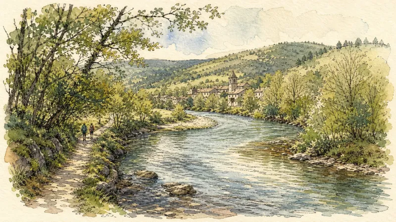
Du col de la Loge au col du Béal (circuit route n°6)
Discover this trail through the heart of Livradois-Forez.

GR®3 — The Forez Mountains
The GR®3 is a legendary long-distance trail following the Loire, one of Europe’s last wild rivers, for 1,200 km. It begins at the river’s source on Mont Gerbier de Jonc and continues to its estuary near Guérande. The section across the Forez mountains unfolds through a succession of striking panoramas, peat bogs, moorland, winding rivers and vast open spaces.
Great Livradois-Forez Mountain-Bike Traverse
In the heart of Auvergne, the Great Livradois-Forez Traverse takes you around the Livradois-Forez Regional Natural Park, between two mountain ranges rising from 400 m to 1,600 m.
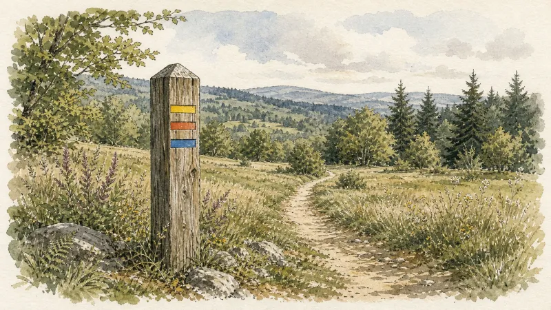
Le Haut-Forez (circuit n°64)
Discover this trail through the heart of Livradois-Forez.
Explore Nearby
Complement your visit to La Chamba by exploring these neighboring villages.


