
Illustration in progress
Rising to an altitude of 1,267 meters on the western spine of the Monts du Forez, Vollore-Montagne exerts a somber, monastic gravity. The landscape is dominated by a dense canopy of conifers and deciduous giants covering three-quarters of the territory, a thick shroud that parts only for the forty scattered hamlets clinging to the granite slopes. This is a realm of dramatic verticality, where the air thins and the rhythm of life slows to the pace of the shifting mist. To traverse these heights is to walk the ancient threshold between the Puy-de-Dôme and the Loire, following the echoes of a Gallo-Roman strategic route that once linked the imperial might of Lyon to the rugged interior of Auvergne.
The silence of the high forest is punctuated by stone sentinels, most notably the 14th-century armorial and royal boundary markers that define ancient feudal limits with cold, carved precision. In the hamlet of Bourdillon, one encounters the ancestral legacy of Jehan de Bourdillon, a grand seigneur and chamberlain to Charles VIII, who carried the name of these mountains into the royal courts and Italian wars of the late 15th century. Before administrative changes renamed the settlement, it was known as La Chapelle-Trinquart, a lonely sanctuary established by the lords of Vollore along an isolated mountain path. Today, the village retains this sense of purposeful seclusion, its identity forged through centuries of territorial independence and the quiet resilience of its mountain-dwelling inhabitants.
Beyond the historical narrative, the commune serves as a repository for the supernatural and the geologically strange. At the summit of Pierre Pamole, the horizon unfolds in a sweeping display of the Livradois-Forez, while deeper in the woods, the gnarled silhouette of the Arbre du Diable—the Devil’s Tree—stands as a testament to local folklore. The terrain is littered with curiosities: the Barque des Morts, the mythic “Bed of the Virgin,” and the Pierre des Tourtes, a geological anomaly of stacked stone. These natural monuments offer a tactile connection to a landscape where the boundary between myth and mineral is perpetually blurred, inviting an afternoon of slow contemplation among the lichen-covered granite and deep, shadowed valleys.
Local profile
At a Glance
- Population
- 312
- Demonym
- —
- Altitude
- 620–1267 m
- Forest
- 74.6%
residents
local residents
lowest to highest
commune coverage
Did You Know?
“The Pierre des Tourtes is a unique geological formation of stacked granite layers that so closely resembles a culinary creation it is locally nicknamed the "Rockburger."”
Cultural Heritage
A quiet village with authentic Auvergne charm.
Recent Wildlife & Flora Log
Nature observations recorded within 5km of Vollore-Montagne.
Common Periwinkle
Common Sundew
Large Red Damsel
Magpie
Small Tortoiseshell
Oak Eggar
Common Frog
Brown-toed Forest Fly
Meadow Brown
Common Goldenring
Trails around Vollore-Montagne
Discover physical challenges and natural beauty in the immediate vicinity.
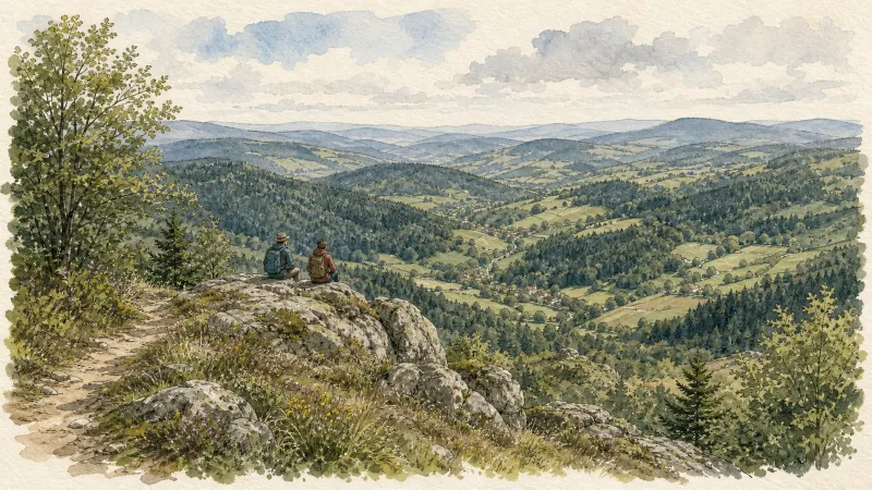
The Bridges Circuit
Start: From the church in La Renaudie. Descend the main road (D102), then continue straight ahead at the junction onto the D41 (towards Le Brugeron). Follow the D41 to the Croix de Ste Agathe. Take the road on the right towards Le Clef (view of the village of La Renaudie). At the entrance to the hamlet, just after a barn, take the stony track on the right; pass the renovated house and continue along the grassy track. Continue for approximately 800 m from Le Clef, then turn sharply right to cross the Rioubet stream. Climb the same track to La Chossonie. 1. Just after the first house, leave the road for the track descending slightly to the left. At the fork, continue right (view of the Chaîne des Puys). At the entrance to La Vialle, immediately climb to the right. At the top of the village, cross the D41 and take the track opposite between 2 low walls. On the climb, leave the track and turn left (view of the Sancy massif and the Chaîne des Puys). Continue straight ahead, then turn left near the cross. 2. On reaching the hamlet of Thérias (on a bend), follow the road to the left for 50 m, then turn right towards Les Gouttes at the junction. 20 m farther on, at the cross, leave the road and take the track on the left. At the junction, take the small road opposite (towards La Chaugne). 15 m farther on, leave this road for the track on the right. Cross the stream and continue straight ahead. Pass alongside a hamlet (Les Champs-Elysées) and, at the junction, continue on the same track opposite to Le Garret. 3. In the village, climb the small road opposite to reach the D41. Cross it and take the track opposite. At the fork, continue straight ahead. In the hamlet of Le Cheix, go around the house and continue through the forest to the ruins of the village of Vironesse. 4. At the ruins, continue along the main track for approximately 250 m, then turn onto the first track on the right. Remain on the same track to the Pale stream. Follow the stream on its left-hand side (the track is very wet in places) to reach the D 317. 5. Follow it to the right for 500 m. On reaching the hamlet of La Goutte, take the D 102 to the right (towards La Renaudie). 150 m farther on, on the bend, turn left and follow the right-hand edge of the field. At the junction, take the track on the right. Follow this climbing track for 1.5 km, then turn left at a crossroads of 4 tracks. Remain on the main track until you reach a road. 6. Follow the road to the right for 200 m, then turn right. Beside a ruin, continue straight ahead; follow the Couzon stream. Ignore the forest track branching right and remain on the same track to a ford. 7. Just before the ford, take the track bearing right. Follow the road to the left, then take the first track on the left. At the fork, continue straight ahead. At the junction of several tracks, turn left and then immediately right. Follow the same track to a road. 8. Follow it to the left, then turn left at the next junction. 150 m farther on, turn left again and cross the fields. On reaching the D 101 at the entrance to the village of La Chambonie, beside the cemetery, turn right for 5 m and then immediately take the road on the right. Follow it for 500 m. 9. Beside a small wrought-iron cross, just before an isolated house, turn right and climb through the woods. At the top of the hill, take the clearest track on the right. On leaving the woods, turn sharply left. 10. Follow the road to the right. Cross the hamlet of Le Verdier and remain on the same road. Follow the D 41 to the right. At the large junction, leave the D 41 and take the D102 to the right (towards La Renaudie). Enter the village and return to the church.
Des Margerides au Grun de Chignore (circuit route n°7)
Discover this trail through the heart of Livradois-Forez.
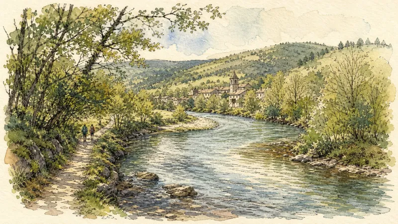
Du col de la Loge au col du Béal (circuit route n°6)
Discover this trail through the heart of Livradois-Forez.
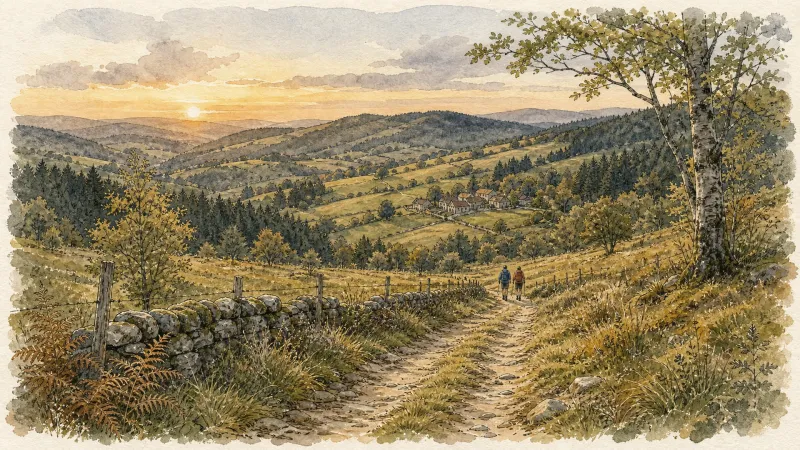
Fontbonne (circuit n°29)
Discover this trail through the heart of Livradois-Forez.

GR®3 — The Forez Mountains
The GR®3 is a legendary long-distance trail following the Loire, one of Europe’s last wild rivers, for 1,200 km. It begins at the river’s source on Mont Gerbier de Jonc and continues to its estuary near Guérande. The section across the Forez mountains unfolds through a succession of striking panoramas, peat bogs, moorland, winding rivers and vast open spaces.
Great Livradois-Forez Mountain-Bike Traverse
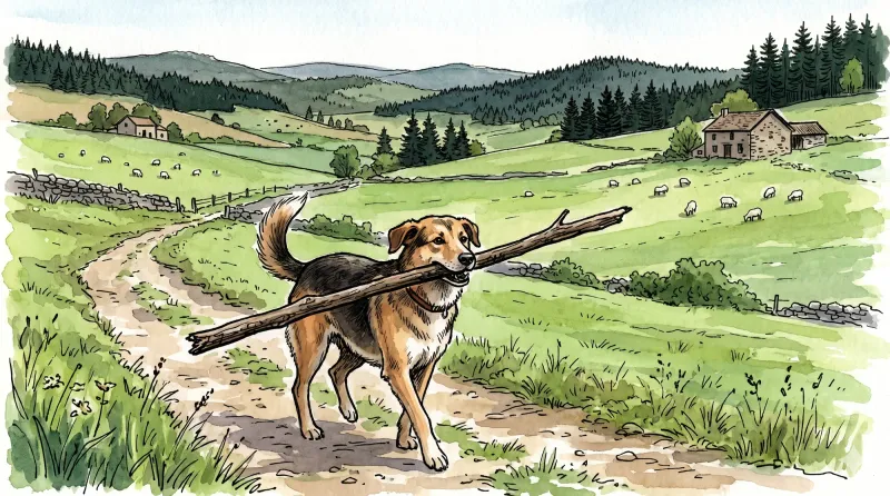
In the heart of Auvergne, the Great Livradois-Forez Traverse takes you around the Livradois-Forez Regional Natural Park, between two mountain ranges rising from 400 m to 1,600 m.
Explore Nearby
Complement your visit to Vollore-Montagne by exploring these neighboring villages.
Augerolles
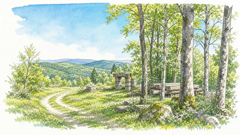
A journey into the origins of Roman nobility and the architectural layering of the Livradois-Forez, where ruined fortresses and timber-wealthy châteaux tell a tale of ascent and revolution.
La Chamba
A high-altitude sanctuary in the Monts du Forez where the air thins and the silence of the fir forests reigns over a landscape of sparse granite and winter traditions.
La Chambonie
A high-altitude sanctuary in the Forez mountains where royal history and Roman fragments are etched into the granite landscape.
La Renaudie
An elevated ascent into the dense forestry of the Forez, where megalithic stones and botanical paths offer a contemplative afternoon spent under the shadow of the Massif Central.
Noirétable
A high-altitude sanctuary where ancient monastic silence meets the rugged craft of the Bois Noirs forest.
Sainte-Agathe
An elevated sanctuary of dense woodland and medieval stone, offering sweeping vistas from the rugged heights of the Livradois-Forez.
Viscomtat
A high-altitude sanctuary of dense conifer forests and ancient apicultural traditions where history lingers in the shadow of the Forez peaks.
Vollore-Ville
A high-altitude sanctuary where Merovingian legends and medieval stone intersect against a backdrop of dense forest and revolutionary history.


