
Illustration in progress
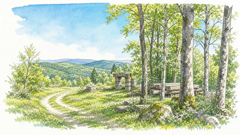
Rising sharply into the granite spine of the Forez, La Renaudie presents a landscape dominated by a formidable arboreal density. Over three-quarters of this territory is cloaked in deep woodland, where the light filters through a thick canopy of spruce and beech to illuminate the racing waters of the Faye and Montolas streams. The air here carries the sharp, resinous scent of high altitudes, a sensory shift that marks the transition from the lower valleys to these rugged uplands. Wandering through the dispersed hamlets reveals a quiet resilience in the architecture, where the stone is heavy and the lines are built to withstand the rigorous mountain climate.
History in this corner of the Puy-de-Dôme is written in monoliths and ancient masonry, predating its 1833 secession from Augerolles by millennia. Above the hamlets of La Chomette and La Sugère, silent megalithic sentinels stand as witnesses to prehistoric habitation, their weathered surfaces offering a tactile connection to the Neolithic past. These stones, carved by time and the elements, anchor the landscape in a deep-time narrative that complements the traditional Auvergnat masonry found in the village center. The rhythm of the land is slow, dictated by the geological permanence of the granite outcrops that break through the soil like the bones of the earth.
For those seeking a panoramic perspective of the Massif Central, a dedicated botanical path ascends from the bourg, winding through two kilometers of diverse local flora. This trail culminates at an orientation table that serves as a visual compass, framing the distant, jagged silhouettes of the Sancy and Cantal ranges against the horizon. It is a location for quiet observation, where the sprawling diversity of the Livradois-Forez is laid bare beneath an expansive sky. The experience is one of solitude and scale, providing a momentary immersion into the high-altitude serenity of the Forez before returning to the comforts of your private estate.
Local profile
At a Glance
- Population
- 132
- Demonym
- —
- Altitude
- 684–1202 m
- Forest
- 78.4%
residents
local residents
lowest to highest
commune coverage
Did You Know?
“Though centuries of history reside in its stones, La Renaudie only gained administrative independence from neighboring Augerolles as recently as 1833.”
Cultural Heritage
A quiet village with authentic Auvergne charm.
Recent Wildlife & Flora Log
Nature observations recorded within 5km of La Renaudie.
Aubretia
Common Periwinkle
Iris × hybrida Retz.
Panorpa germanica Linnaeus, 1758
Eurasian Yellow Bunting
Eurasian Nuthatch
Lullula arborea (Linnaeus, 1758)
Marsh Tit
Lanius collurio Linnaeus, 1758
Capon's-feather
Trails around La Renaudie
Discover physical challenges and natural beauty in the immediate vicinity.

Botany at La Renaudie
Numerous interpretation panels about the trees and shrubs of Livradois-Forez line this trail for an essential botany lesson, enriched by at least two discoveries: a dolmen and a panorama from Rocher des Bergères.
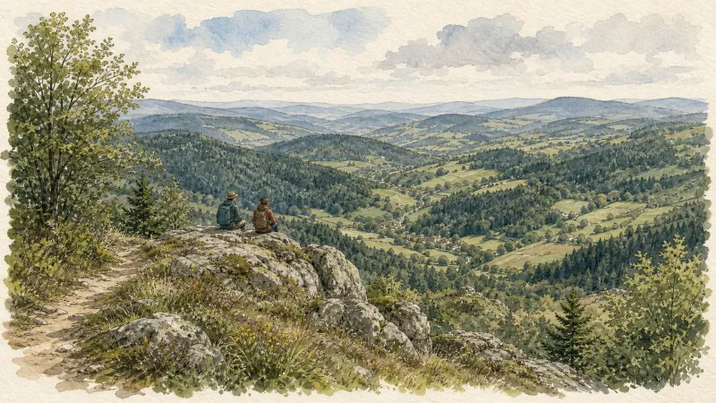
The Bridges Circuit
Start: From the church in La Renaudie. Descend the main road (D102), then continue straight ahead at the junction onto the D41 (towards Le Brugeron). Follow the D41 to the Croix de Ste Agathe. Take the road on the right towards Le Clef (view of the village of La Renaudie). At the entrance to the hamlet, just after a barn, take the stony track on the right; pass the renovated house and continue along the grassy track. Continue for approximately 800 m from Le Clef, then turn sharply right to cross the Rioubet stream. Climb the same track to La Chossonie. 1. Just after the first house, leave the road for the track descending slightly to the left. At the fork, continue right (view of the Chaîne des Puys). At the entrance to La Vialle, immediately climb to the right. At the top of the village, cross the D41 and take the track opposite between 2 low walls. On the climb, leave the track and turn left (view of the Sancy massif and the Chaîne des Puys). Continue straight ahead, then turn left near the cross. 2. On reaching the hamlet of Thérias (on a bend), follow the road to the left for 50 m, then turn right towards Les Gouttes at the junction. 20 m farther on, at the cross, leave the road and take the track on the left. At the junction, take the small road opposite (towards La Chaugne). 15 m farther on, leave this road for the track on the right. Cross the stream and continue straight ahead. Pass alongside a hamlet (Les Champs-Elysées) and, at the junction, continue on the same track opposite to Le Garret. 3. In the village, climb the small road opposite to reach the D41. Cross it and take the track opposite. At the fork, continue straight ahead. In the hamlet of Le Cheix, go around the house and continue through the forest to the ruins of the village of Vironesse. 4. At the ruins, continue along the main track for approximately 250 m, then turn onto the first track on the right. Remain on the same track to the Pale stream. Follow the stream on its left-hand side (the track is very wet in places) to reach the D 317. 5. Follow it to the right for 500 m. On reaching the hamlet of La Goutte, take the D 102 to the right (towards La Renaudie). 150 m farther on, on the bend, turn left and follow the right-hand edge of the field. At the junction, take the track on the right. Follow this climbing track for 1.5 km, then turn left at a crossroads of 4 tracks. Remain on the main track until you reach a road. 6. Follow the road to the right for 200 m, then turn right. Beside a ruin, continue straight ahead; follow the Couzon stream. Ignore the forest track branching right and remain on the same track to a ford. 7. Just before the ford, take the track bearing right. Follow the road to the left, then take the first track on the left. At the fork, continue straight ahead. At the junction of several tracks, turn left and then immediately right. Follow the same track to a road. 8. Follow it to the left, then turn left at the next junction. 150 m farther on, turn left again and cross the fields. On reaching the D 101 at the entrance to the village of La Chambonie, beside the cemetery, turn right for 5 m and then immediately take the road on the right. Follow it for 500 m. 9. Beside a small wrought-iron cross, just before an isolated house, turn right and climb through the woods. At the top of the hill, take the clearest track on the right. On leaving the woods, turn sharply left. 10. Follow the road to the right. Cross the hamlet of Le Verdier and remain on the same road. Follow the D 41 to the right. At the large junction, leave the D 41 and take the D102 to the right (towards La Renaudie). Enter the village and return to the church.

Forez Circuit — Les Hautes-Chaumes (Loop No. 5)
This route reveals nature that is still wild in places: Livradois-Forez and its vast, rolling upland plateaus, including Les Hautes-Chaumes.
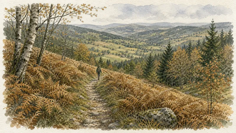
Croix de Fer
This 8.8 km loop starts and finishes at Eglise de la Renaudie, with 298 m of ascent and an estimated duration of 2 hr 30 min.
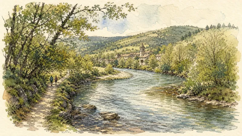
Du col de la Loge au col du Béal (circuit route n°6)
Discover this trail through the heart of Livradois-Forez.
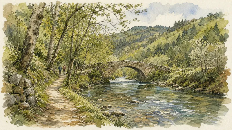
The Sainte-Agathe Trail
Sainte-Agathe, a Sicilian legend rooted in the Forez This loop leads from Thiers to Lac d’Aubusson, then to Olliergues beside the Dore, before climbing through meadows and beech woodland to La Renaudie. It winds through villages and hamlets, crosses the Aiguebonne state forest, and descends to Sainte-Agathe and its church, rich in heritage associated with the saint. It then passes Château de Vaulx and finishes through the spectacular Vallée des Rouets beside the Durolle, returning to Thiers, capital of cutlery.
Explore Nearby
Complement your visit to La Renaudie by exploring these neighboring villages.
Augerolles
A journey into the origins of Roman nobility and the architectural layering of the Livradois-Forez, where ruined fortresses and timber-wealthy châteaux tell a tale of ascent and revolution.
La Chambonie
A high-altitude sanctuary in the Forez mountains where royal history and Roman fragments are etched into the granite landscape.
Le Brugeron
A high-altitude sanctuary on the Forez slopes, defined by dense fir forests and a church housing rare mechanical harmoniums that once automated the village's liturgical music.
Olmet
An evocative ascent into the high Forez, where 13th-century fortress ruins overlook a rushing river and 20th-century frescoes illuminate a medieval sanctuary.
Vollore-Montagne
A high-altitude sanctuary on the western spine of the Monts du Forez, where granite monoliths and 14th-century boundary stones tell of medieval lineages and geological wonders.


