
The village core is dominated by the Église Sainte-Croix, a limestone and granite testament to four centuries of shifting architectural sensibilities. Its walls exhibit a restless marriage of Romanesque solidity and Gothic verticality, a structural dialogue that spans from the 11th to the 14th centuries. Beneath the choir, a silent mortuary crypt preserves the remains of the local priors and the lords of Frédeville and Grimardies. The spire, a 35-meter finger of stone, was amputated during the revolutionary fervor of 1793 under the orders of the commissioner Couthon, only to be meticulously restored in 1844, reclaiming its command over the surrounding heights.
The landscape is etched with the divergent fates of its two dominant dynasties. The Frédeville line, whose influence gripped the region for five centuries, survives now only in the haunting geometry of its ruined ancestral seat, a victim of the Thiers Directory’s demolition decrees. In stark contrast, the Château des Grimardies reflects the pragmatic ascent of the Provenchères family, who translated the dense timber of the Auvergne forests into a mercantile fortune in Paris. Reconstructed in the early 18th century, the château retains a severe, noble discipline, its lines testifying to the wealth extracted from the very woodlands that still cover over half of the communal territory.
Beyond its local feudal drama, the commune harbors an extraordinary genealogical secret; it is the cradle of the Torlonia princes of Rome. In 1725, Marin Tourlonias was born here into relative obscurity, eventually following an exiled abbot to the Eternal City and laying the foundation for a banking empire that would finance Popes and marry into the highest echelons of European royalty. This legacy of improbable social mobility adds a layer of quiet grandeur to an afternoon spent traversing the dispersed hamlets. One moves through an environment where the climate of the mountain margins dictates the rhythm of life, and the forest—a thick tapestry of ash and pine—constantly threatens to reclaim the ancient stone paths connecting the valley floor to the soaring ridges nearly a thousand meters above.
Local profile
At a Glance
- Population
- 862
- Demonym
- Augerollais
- Altitude
- 377–995 m
- Forest
- 57%
residents
local residents
lowest to highest
commune coverage
Did You Know?
“The ultra-wealthy Torlonia banking family of Rome, cousins to Spanish royalty and ancestors of actress Brooke Shields, traces its lineage back to a valet born in the modest hamlets of Augerolles in 1725.”
Cultural Heritage
Protected historic monuments in Augerolles
Château des Grimardies
Augerolles
Eglise Sainte-Croix
Augerolles
Recent Wildlife & Flora Log
Nature observations recorded within 5km of Augerolles.
Cuereta blanca
Black Shag
Carrion Crow
Cowslip
Brown Birch
Great Wood-rush
Common Periwinkle
Crosswort
European chickweed
Teucrium scorodonia L.
Trails around Augerolles
Discover physical challenges and natural beauty in the immediate vicinity.

Around the Couzon valley (circuit n°8)
Very nice, varied marked circuit, which alternates descents and climbs on paths presenting several technical passages (deep ruts, slopes, small screes). In particular, you should be particularly vigilant during the first descent between Ollières and the Mégain bridge, especially if you have not had the opportunity to warm up a little beforehand. The circuit then runs along the western part of Lake Aubusson before passing near the Notre-Dame d'Espinasse chapel built just above a miraculous spring from which water springs which can treat and cure certain skin diseases such as eczema...
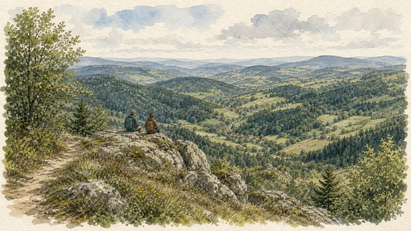
The Bridges Circuit
Start: From the church in La Renaudie. Descend the main road (D102), then continue straight ahead at the junction onto the D41 (towards Le Brugeron). Follow the D41 to the Croix de Ste Agathe. Take the road on the right towards Le Clef (view of the village of La Renaudie). At the entrance to the hamlet, just after a barn, take the stony track on the right; pass the renovated house and continue along the grassy track. Continue for approximately 800 m from Le Clef, then turn sharply right to cross the Rioubet stream. Climb the same track to La Chossonie. 1. Just after the first house, leave the road for the track descending slightly to the left. At the fork, continue right (view of the Chaîne des Puys). At the entrance to La Vialle, immediately climb to the right. At the top of the village, cross the D41 and take the track opposite between 2 low walls. On the climb, leave the track and turn left (view of the Sancy massif and the Chaîne des Puys). Continue straight ahead, then turn left near the cross. 2. On reaching the hamlet of Thérias (on a bend), follow the road to the left for 50 m, then turn right towards Les Gouttes at the junction. 20 m farther on, at the cross, leave the road and take the track on the left. At the junction, take the small road opposite (towards La Chaugne). 15 m farther on, leave this road for the track on the right. Cross the stream and continue straight ahead. Pass alongside a hamlet (Les Champs-Elysées) and, at the junction, continue on the same track opposite to Le Garret. 3. In the village, climb the small road opposite to reach the D41. Cross it and take the track opposite. At the fork, continue straight ahead. In the hamlet of Le Cheix, go around the house and continue through the forest to the ruins of the village of Vironesse. 4. At the ruins, continue along the main track for approximately 250 m, then turn onto the first track on the right. Remain on the same track to the Pale stream. Follow the stream on its left-hand side (the track is very wet in places) to reach the D 317. 5. Follow it to the right for 500 m. On reaching the hamlet of La Goutte, take the D 102 to the right (towards La Renaudie). 150 m farther on, on the bend, turn left and follow the right-hand edge of the field. At the junction, take the track on the right. Follow this climbing track for 1.5 km, then turn left at a crossroads of 4 tracks. Remain on the main track until you reach a road. 6. Follow the road to the right for 200 m, then turn right. Beside a ruin, continue straight ahead; follow the Couzon stream. Ignore the forest track branching right and remain on the same track to a ford. 7. Just before the ford, take the track bearing right. Follow the road to the left, then take the first track on the left. At the fork, continue straight ahead. At the junction of several tracks, turn left and then immediately right. Follow the same track to a road. 8. Follow it to the left, then turn left at the next junction. 150 m farther on, turn left again and cross the fields. On reaching the D 101 at the entrance to the village of La Chambonie, beside the cemetery, turn right for 5 m and then immediately take the road on the right. Follow it for 500 m. 9. Beside a small wrought-iron cross, just before an isolated house, turn right and climb through the woods. At the top of the hill, take the clearest track on the right. On leaving the woods, turn sharply left. 10. Follow the road to the right. Cross the hamlet of Le Verdier and remain on the same road. Follow the D 41 to the right. At the large junction, leave the D 41 and take the D102 to the right (towards La Renaudie). Enter the village and return to the church.

Forez Circuit — Les Hautes-Chaumes (Loop No. 5)
This route reveals nature that is still wild in places: Livradois-Forez and its vast, rolling upland plateaus, including Les Hautes-Chaumes.
From La Faye to the Couzon
Start: Church square (Place du Marthuret). Take the main street opposite the war memorial, then at the junction take the D 45 straight ahead (towards Olmet/Le Brugeron). At the second junction, continue straight ahead on the same road (towards Olmet/Le Brugeron). 350 m further on, take the track heading left behind the sawmill and reach Clos Granet. Pass the isolated house, then follow the track descending to the right. At the road, turn left towards La Forie. Cross the village and immediately take the track on the left climbing to Poyet-Haut. Pass below the village; at the lime tree, turn right as far as the cross, then continue right to the junction. Continue on the D 42 (towards Vollore-Montagne). 1. 120 m further on, take the track heading left (viewpoint over the Chaîne des Puys). At the first junction, continue straight ahead on the grassy track. At the next junction, take the track climbing to the left. At the fork, continue to the right to reach the hamlet of Le Masdorier. 2. At the surfaced section at the entrance to the hamlet, turn left between the houses, then left again onto the small road descending. 100 m further on, the road becomes a track; follow it to the hamlet of Gourgoux. Descend straight ahead towards the iron cross, then reach the D 311. Cross it and take the track straight ahead. At the surfaced road (D41), turn right and follow it to La Roche. 3. Cross the hamlet, then turn onto the grassy track on the left just after the last house (viewpoint). Continue for 300 m. Turn left and descend the track to the D 41. Follow it to the right to enter the village of Aubusson-d’Auvergne. Pass the fountain, then the sawmill, and continue on this road to the village of La Prade. 4. Cross the village; continue for 200 m, then leave the road to the left via the wooden footbridge to enter the lake site. Continue to the left along the bird trail (passing close to the hide). Still following the lakeside, continue on the sandy track. At the junction, before reaching the dam, take the stone track climbing to the left. At the surfaced road, turn right and reach Commiot. 5. At the entrance to the hamlet, take the grassy track on the right for 400 m. At the junction by the transformer, take the track straight ahead alongside a meadow. Follow the surfaced road to the left as far as La Coudercie. 6. Cross the village, then stay on the same road for 400 m (view of the village of Augerolles). At the wastewater treatment plant, turn right, then return to the village of Augerolles and the church square.
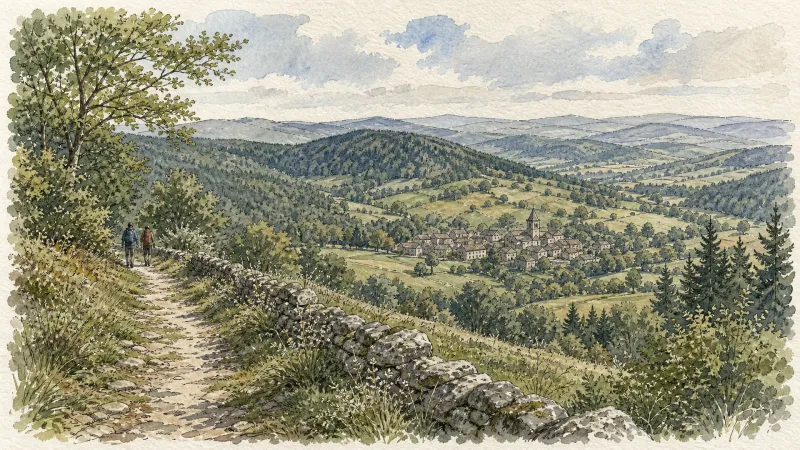
Des Hautes-Chaumes au Livradois (circuit route n°8)
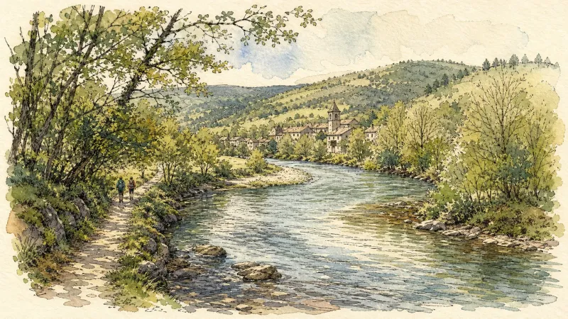
Discover this trail through the heart of Livradois-Forez.
Du col de la Loge au col du Béal (circuit route n°6)
Discover this trail through the heart of Livradois-Forez.
Explore Nearby
Complement your visit to Augerolles by exploring these neighboring villages.
Aubusson-d'Auvergne
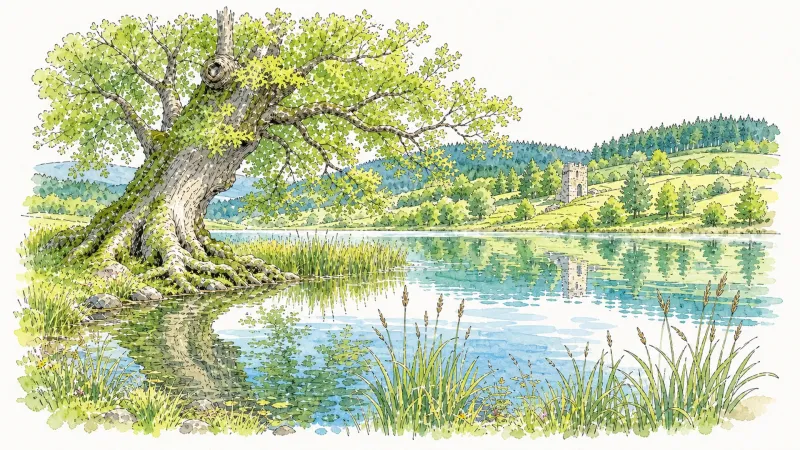
A tranquil destination where ancient Romanesque architecture and rare polychrome relics meet the expansive waters of a 28-hectare lake.
Courpière
A river-hugging town where Roman pottery kilns and Cluniac priories meet the childhood echoes of Coco Chanel.
La Renaudie
An elevated ascent into the dense forestry of the Forez, where megalithic stones and botanical paths offer a contemplative afternoon spent under the shadow of the Massif Central.
Olliergues
A medieval riverside destination where the Turenne dynasty once held court, offering a rich tapestry of bridge-spanning legends and neo-renaissance architecture.
Olmet
An evocative ascent into the high Forez, where 13th-century fortress ruins overlook a rushing river and 20th-century frescoes illuminate a medieval sanctuary.
Sauviat
A high-perched sentinel overlooking the deep granite fissures of the Dore valley, where the ruins of a Benedictine priory and a partially dismantled fortress tell a story of medieval power and revolutionary fervor.
Tours-sur-Meymont
A sanctuary of medieval fortification and rare botanical heritage, where 15th-century stone spans the Dore and ancient orchards preserve the flavors of the past.
Vollore-Montagne
A high-altitude sanctuary on the western spine of the Monts du Forez, where granite monoliths and 14th-century boundary stones tell of medieval lineages and geological wonders.
Vollore-Ville
A high-altitude sanctuary where Merovingian legends and medieval stone intersect against a backdrop of dense forest and revolutionary history.


