
Illustration in progress
The landscape of Sauviat is defined by the violent incision of the Dore river, which has carved a deep, V-shaped gorge through the ancient Hercynian granite. This rugged piémont terrain presents a sequence of humped plateaus and sharp promontories, where the soil feels thin over the bedrock and the air carries the scent of damp moss and resin from the high fir forests. Historically, the sheer cliffs served as a natural rampart, isolating the settlement from the primary trade routes that skirted the mountains. To walk along the riverbanks today is to encounter the raw power of the water, which once defied the construction of roads and forced the nineteenth-century railway to retreat into a series of dark, subterranean tunnels that still pierce the hillsides.
Commanding the highest spine of the plateau, the remnants of the medieval priory and fortress reflect a deliberate projection of power by the Lords of Montboissier. The 14th-century Église Saint-Loup stands as a silent witness to a Benedictine tradition that traces its spiritual lineage to the Sagra di San Michele in the Italian Piedmont, sharing a common architectural obsession with high, windswept peaks. Though the castle was largely reduced to a stone quarry during the Revolution, the surviving south-east tower—a formidable cylinder of horizontal masonry—retains the grim atmosphere of its era. Its vaulted interiors and narrow arrow slits, designed for the clinical precision of the crossbow, mirror the defensive sophistication found in the great royal strongholds of northern France, offering a tactile connection to the region’s martial past.
History here is etched into the very walls of the village, where recycled stones from the old fortifications now form the lintels and doorframes of humbler dwellings. In 1581, Michel de Montaigne rode through these heights, his horse’s hooves likely clattering on the same granite tracks that lead toward the expansive vistas of the Forez range. The village transition from a feudal stronghold to a quiet agricultural outpost is marked by the stark contrast between the weathered Romanesque arches and the industrial geometry of the hydroelectric dam visible in the valley below. For the wanderer, Sauviat offers a dense layering of time, from the sacred silence of its priory roots to the echoes of the 1793 decrees that sought to level its aristocratic heights.
Local profile
At a Glance
- Population
- 588
- Demonym
- —
- Altitude
- 317–581 m
- Forest
- 39.1%
residents
local residents
lowest to highest
commune coverage
Did You Know?
“In 1581, the philosopher Michel de Montaigne traversed this rugged landscape during his return from Rome, marking Sauviat as a scholarly milestone on his journey toward Bordeaux.”
Cultural Heritage
Protected historic monuments in Sauviat
Croix située à l'entrée du village
Sauviat
Château
Sauviat
Tête de croix du 16e siècle placée sur une fontaine
Sauviat
Eglise Saint-Loup
Sauviat
Fût de croix du 16e siècle sur la place de l'église
Sauviat
Recent Wildlife & Flora Log
Nature observations recorded within 5km of Sauviat.
Badger
Cross Fox
Corzo
Eurasian Wild Pig
Common Raccoon
Asian races
Ardilla roja
Cuereta blanca
Black Shag
Carrion Crow
Trails around Sauviat
Discover physical challenges and natural beauty in the immediate vicinity.
Great Livradois-Forez Mountain-Bike Traverse
In the heart of Auvergne, the Great Livradois-Forez Traverse takes you around the Livradois-Forez Regional Natural Park, between two mountain ranges rising from 400 m to 1,600 m.
The Sauviat Plateau
Start: In front of the town hall, take the local road climbing straight ahead. 30 m after a stone cross, turn right onto the road towards Chigros (view over Sauviat). At the entrance to the hamlet, by the small wrought-iron cross, climb to the left on the grassy track. 1. At La Gardette, follow the road to the right to Le Breuil (views of Vollore-Ville and its château and the Forez ridges straight ahead). At the entrance to Le Breuil, continue on the road to the left and enter the village. In the village, turn left. After 200 m, take the track descending to the right along the valley bottom before it climbs gently towards the plateau after a bend. 2. At the junction, branch right onto the earth track (views of the Dore Valley and the Tours-sur-Meymont bell tower). At the road, climb to the left, then in the hamlet immediately turn right between the houses. At the fork, leave the road and take the surfaced track on the right. At the junction with a track, continue straight ahead. At the road, climb to the left (winegrower’s house recalling the former presence of vineyards). At the junction with another small road, ignore it and take the track heading right (view of the Forez ridges). Continue on the same track and reach a road. 3. Turn right onto this road. At the junction with another road (towards Champs), continue straight ahead. 200 m further on, take the track on the left between two fences. At the road, follow it to the left for 30 m, then immediately turn right (views of Château de Mauzun on the left and Grün de Chignore on the right). At the road, turn left to reach Le Chassaing. Cross the hamlet on the main road. 4. On leaving, by the wrought-iron cross, climb to the left on the road. At the fork, continue to the right for 30 m, then right again (towards Le Fraisse). Cross the hamlet, then 30 m later take the track on the left. By the lake, turn left to cross the bridge and follow the main track to Issard. 5. By two chicken houses (view of the upper parts of Thiers slightly to the right), continue straight ahead on the small road. 20 m further on, follow the road climbing to the left into Issard. In the hamlet, at the fork, follow the road to the right, then continue straight ahead. At the D 315, take the grassy track descending straight ahead and climbing again to La Bénetie. At the entrance to the hamlet, take the road on the left around it. On leaving (walnut tree), turn left onto the road, then 20 m further on turn left again. 6. 30 m further on, turn left into La Charreyre. Cross the hamlet and, on leaving, take the grassy track on the left descending between two fences (view of Sauviat and its church). Follow this narrow path down into the gorges. On meeting a track, continue straight ahead. At the road, climb to the right. Pass the cemetery on its right (off-route: panoramic view of the dam and the Dore Valley). Cross the square to reach the church. Descend the narrow street straight ahead (passing a fine cross) to return to the town hall.
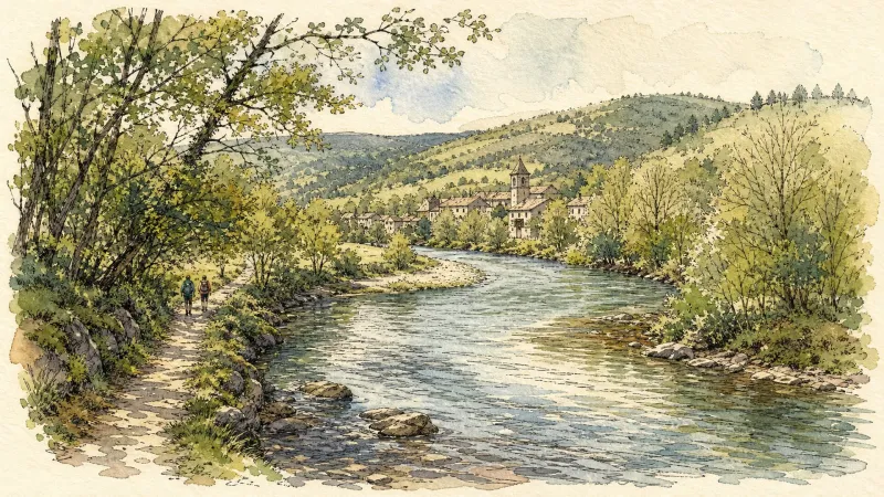
The Dore Gorges (Circuit No. 12)
A physically demanding and sometimes technical waymarked route, ideal for experienced riders. After an initial descent, it reaches Roddias and climbs a long, exposed track to the Courpière–Ambert road, which is crossed a little farther on after a short descent. The route then alternates between woodland and exposed higher ground. It reaches Sauviat, where remains of fortifications and a fine view of the dam can be seen. Near Cublas, do not miss the plunging view into the gorges carved by the Dore. A quick descent reaches the river, followed alongside the railway built between 1883 and 1902, with 17 tunnels and 18 viaducts and bridges over 85 km—an impressive feat for its time. This section still links the Giroux-Gare paper mill with the Celta cardboard plant. After a long flat stretch beside the railway, the route reaches Giroux-Vieux, climbs to Lavest and continues towards Augerolles. It remains physically demanding, crossing the Faye valley before reaching the Couzon valley near Lac d’Aubusson. After circling the lake, two substantial climbs remain before returning to the nature centre.
Les Grimardies
This 10.1 km loop starts and finishes at Augerolles, with 239 m of ascent and an estimated duration of 3 hours.
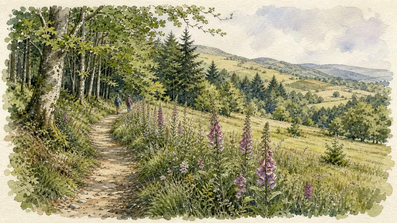
Petit tour à Sauviat (circuit route n°10)
Discover this trail through the heart of Livradois-Forez.
Explore Nearby
Complement your visit to Sauviat by exploring these neighboring villages.
Augerolles
A journey into the origins of Roman nobility and the architectural layering of the Livradois-Forez, where ruined fortresses and timber-wealthy châteaux tell a tale of ascent and revolution.
Courpière
A river-hugging town where Roman pottery kilns and Cluniac priories meet the childhood echoes of Coco Chanel.
Domaize
A quiet pastoral landscape defined by its Renaissance stone, cinematic echoes, and the rare elegance of Akhal-Teke horses.
Saint-Flour-l'Étang
A tranquil riverine escape where the Dore and Miodet converge, offering a landscape of hydraulic heritage and ancient, dispersed agricultural hamlets.
Tours-sur-Meymont
A sanctuary of medieval fortification and rare botanical heritage, where 15th-century stone spans the Dore and ancient orchards preserve the flavors of the past.


