
Elevation Profile
410–542 m
Start: In front of the town hall, take the local road climbing straight ahead. 30 m after a stone cross, turn right onto the road towards Chigros (view over Sauviat). At the entrance to the hamlet, by the small wrought-iron cross, climb to the left on the grassy track.
1. At La Gardette, follow the road to the right to Le Breuil (views of Vollore-Ville and its château and the Forez ridges straight ahead). At the entrance to Le Breuil, continue on the road to the left and enter the village. In the village, turn left. After 200 m, take the track descending to the right along the valley bottom
before it climbs gently towards the plateau after a bend.
2. At the junction, branch right onto the earth track (views of the Dore Valley and the Tours-sur-Meymont bell tower). At the road, climb to the left, then in the hamlet immediately turn right between the houses. At the fork, leave the road and take the surfaced track on the right. At the junction with a track, continue straight ahead. At the road, climb to the left (winegrower’s house recalling the former presence of vineyards). At the junction with another small road, ignore it and take the track heading right (view of the Forez ridges). Continue on the same track and reach a road.
3. Turn right onto this road. At the junction with another road (towards Champs), continue straight ahead. 200 m further on, take the track on the left between two fences. At the road, follow it to the left for 30 m, then immediately turn right (views of Château de Mauzun on the left and Grün de Chignore on the right). At the road, turn left to reach Le Chassaing. Cross the hamlet on the main road.
4. On leaving, by the wrought-iron cross, climb to the left on the road. At the fork, continue to the right for 30 m, then right again (towards Le Fraisse). Cross the hamlet, then 30 m later take the track on the left. By the lake, turn left to cross the bridge and follow the main track to Issard.
5. By two chicken houses (view of the upper parts of Thiers slightly to the right), continue straight ahead on the small road. 20 m further on, follow the road climbing to the left into Issard. In the hamlet, at the fork, follow the road to the right, then continue straight ahead. At the D 315, take the grassy track descending straight ahead and climbing again to La Bénetie. At the entrance to the hamlet, take the road on the left around it. On leaving (walnut tree), turn left onto the road, then 20 m further on turn left again.
6. 30 m further on, turn left into La Charreyre. Cross the hamlet and, on leaving, take the grassy track on the left descending between two fences (view of Sauviat and its church). Follow this narrow path down into the gorges. On meeting a track, continue straight ahead. At the road, climb to the right. Pass the cemetery on its right (off-route: panoramic view of the dam and the Dore Valley). Cross the square to reach the church. Descend the narrow street straight ahead (passing a fine cross) to return to the town hall.
At a Glance
- Duration
- 4.0hrs
- Distance
- 13.3km
- Elevation +
- +324 m
- Elevation -
- -323 m
At a Glance
Live Weather
Departure / Arrival · Sauviat
Live conditions
—
Feels like
—
Wind / gusts
—
Visibility
—
Updated: —
Important Advice
ROUTE MODIFIED BETWEEN POINTS 1 AND 2; FOLLOW THE WAYMARKERS CAREFULLY.
Field notes and images
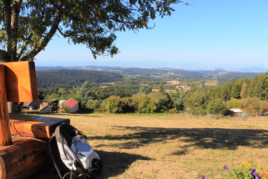
point de vue en Livradois-Forez
Captured by Maison du Tourisme
Explore Nearby
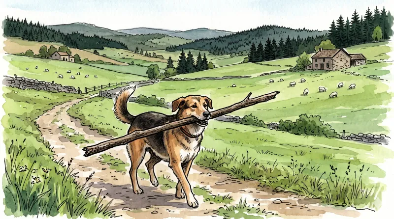
Great Livradois-Forez Mountain-Bike Traverse
In the heart of Auvergne, the Great Livradois-Forez Traverse takes you around the Livradois-Forez Regional Natural Park, between two mountain ranges rising from 400 m to 1,600 m.
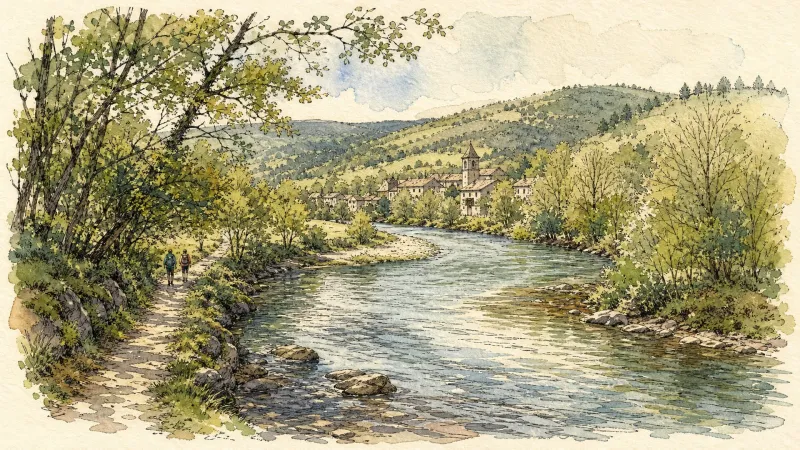
The Dore Gorges (Circuit No. 12)
A physically demanding and sometimes technical waymarked route, ideal for experienced riders. After an initial descent, it reaches Roddias and climbs a long, exposed track to the Courpière–Ambert road, which is crossed a little farther on after a short descent. The route then alternates between woodland and exposed higher ground. It reaches Sauviat, where remains of fortifications and a fine view of the dam can be seen. Near Cublas, do not miss the plunging view into the gorges carved by the Dore. A quick descent reaches the river, followed alongside the railway built between 1883 and 1902, with 17 tunnels and 18 viaducts and bridges over 85 km—an impressive feat for its time. This section still links the Giroux-Gare paper mill with the Celta cardboard plant. After a long flat stretch beside the railway, the route reaches Giroux-Vieux, climbs to Lavest and continues towards Augerolles. It remains physically demanding, crossing the Faye valley before reaching the Couzon valley near Lac d’Aubusson. After circling the lake, two substantial climbs remain before returning to the nature centre.
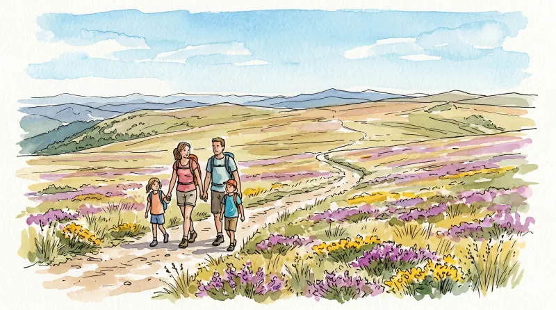
Les Grimardies
This 10.1 km loop starts and finishes at Augerolles, with 239 m of ascent and an estimated duration of 3 hours.