
Illustration in progress
The topography of Saint-Flour-l’Étang is defined by the fluid boundaries of the Dore and its tributary, the Miodet. During the radical shifts of the French Revolution, this enclave was aptly rechristened L’Isle-sur-Dore, a title that captures the sensation of a village suspended between the silver veins of the river network. Today, the modern name reflects its connection to the local pond, yet the true character of the land remains anchored in the rhythmic pulse of the rivers. A walk toward the confluence reveals the functional beauty of the Miodet dam, where mid-century hydraulic engineering meets the raw, unyielding basaltic spirit of the Auvergne landscape.
Moving inland from the riverbanks, the commune unfolds as a series of isolated hamlets, a testament to a centuries-old pattern of rural life that prioritizes vast personal space and agricultural proximity. The architecture here is unpretentious and resilient, characterized by the grey granite and weathered volcanic stone that provides a somber, noble contrast to the vibrant green of the surrounding prairies. In the central bourg, the local heraldry—three golden wheat sheaves against an azure field—serves as a silent reminder of the agrarian wealth that once sustained these scattered homesteads. The air carries the scent of damp earth and ancient timber, providing a sensory anchor for an afternoon spent navigating the labyrinth of sun-dappled lanes.
Beyond the cultivated fields, the terrain ascends toward the dense canopy of the Livradois forests, which drape nearly a third of the territory in deep shadow. These wooded elevations offer a starker, more introspective atmosphere where the silhouettes of oak and pine lengthen over old stone markers and the remnants of hydraulic industry, such as the Moulin Neuf. The silence in these heights is profound, broken only by the movement of the wind through the high branches or the distant, muffled murmur of the Dore in the valley below. It is a destination for the observant wanderer, where the absence of modern clamor allows the historical layers of the Forez region to surface, revealing a world shaped by the patient hands of the Sanflorains and the relentless passage of the seasons.
Local profile
At a Glance
- Population
- 268
- Demonym
- Sanflorains
- Altitude
- 319–561 m
- Forest
- 30.7%
residents
local residents
lowest to highest
commune coverage
Did You Know?
“During the French Revolution, the commune was poetically renamed L’Isle-sur-Dore, reflecting its island-like isolation between the shifting currents of the Dore and Miodet rivers.”
Cultural Heritage
A quiet village with authentic Auvergne charm.
Recent Wildlife & Flora Log
Nature observations recorded within 5km of Saint-Flour-l'Étang.
Badger
Cross Fox
Corzo
Eurasian Wild Pig
Common Raccoon
Asian races
Ardilla roja
Wood Anemone
Creeping Charlie
Fig buttercup
Trails around Saint-Flour-l'Étang
Discover physical challenges and natural beauty in the immediate vicinity.
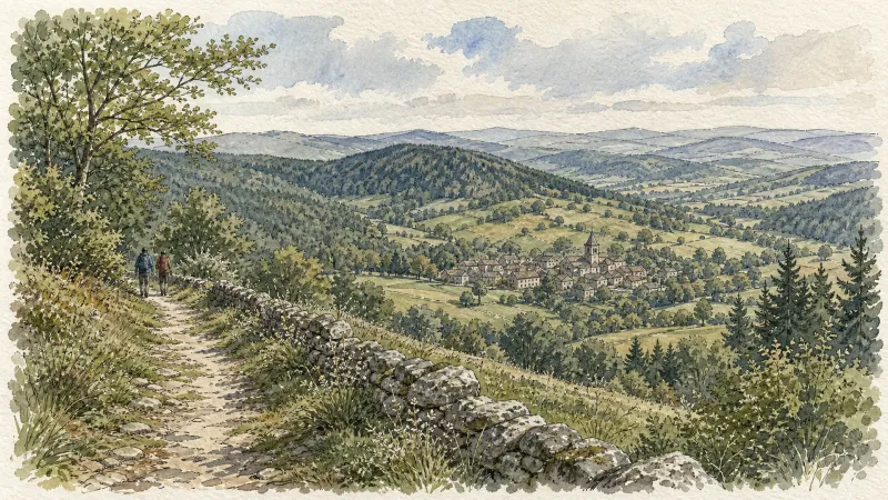
Des Hautes-Chaumes au Livradois (circuit route n°8)
Discover this trail through the heart of Livradois-Forez.

Entre Comté et Pays d'Issoire (circuit route n°17)
Discover this trail through the heart of Livradois-Forez.

Le château de Mauzun (circuit route n°9)
Discover this trail through the heart of Livradois-Forez.
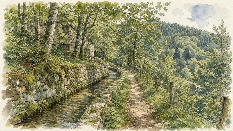
Isle sur Dore
Departure: in front of the village hall. Park in the parking lot. Go down the village street and take 30 m further down on the right towards Charmène. At the entrance to Charmène, take the path on the right, going around the small body of water. Then join a tarmac path that you go up to the right to arrive at Chavaroche. 1.Continue straight then left on the path between the old buildings and continue on this path which becomes grassy, goes down in the middle of the meadows to find the bitumen at a farm (viewpoint over the Forez). Continue to descend for 500 m. Turn right to take the path which leads into the woods; go down to the stream then go back up. Arriving at the summit, continue to the right to reach the Croix du Sangle crossroads. 2. Then go down 50 m to join the D 304 (Courpière-Domaize) which you follow towards Domaize for 200 m. Then head towards the village of Le Sangle on your left. On the square, at the entrance to the hamlet, take the path on the right (in front of a building) which leads between the meadows. Leave the first path on your right, and take the second. Go down through the woods to the Sauviat dam (like the people from St Flour who worked at the EDF factory did). Join the road just before the bridge over the Dore. 3. Climb this very steep little road for 500 m. Take a small path on the left (former Chemin de Domaize) which goes deeper into the woods, passes by a place called “le Cimetière des Donkeys” and joins the road at a place called Moulin Neuf. Take your right for 30 m and turn left to go up to Fontbertasse. 4. Cross this hamlet. At the exit, leave the road and take the dirt road on the right which will take you to Le Clos. Just before this village, turn completely left onto a path between meadows. Continue on this path on a slight hill until the small crossroads of the Croix de Pintrand (you have just passed the highest point of the town: 561 m. Viewpoint over the Puys chain and the Forez mountains). Take the road on your right which goes down to the village passing through Chassaing. When you are at the crossroads in front of the school, the starting point is 50 m on your left.
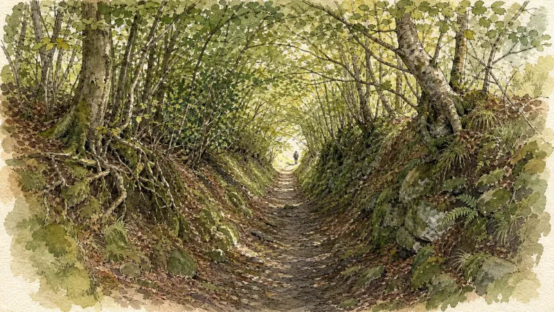
Virée en Haut-Livradois (circuit route n°5)
Discover this trail through the heart of Livradois-Forez.
Explore Nearby
Complement your visit to Saint-Flour-l'Étang by exploring these neighboring villages.
Domaize
A quiet pastoral landscape defined by its Renaissance stone, cinematic echoes, and the rare elegance of Akhal-Teke horses.
Sauviat
A high-perched sentinel overlooking the deep granite fissures of the Dore valley, where the ruins of a Benedictine priory and a partially dismantled fortress tell a story of medieval power and revolutionary fervor.


