
Elevation Profile
311–1366 m
At a Glance
- Duration
- 9.0hrs
- Distance
- 140.9km
- Elevation +
- +2810 m
- Elevation -
- -2810 m
At a Glance
Live Weather
Departure / Arrival · Centre nature les 4 Vents
Live conditions
—
Feels like
—
Wind / gusts
—
Visibility
—
Updated: —
Field notes and images
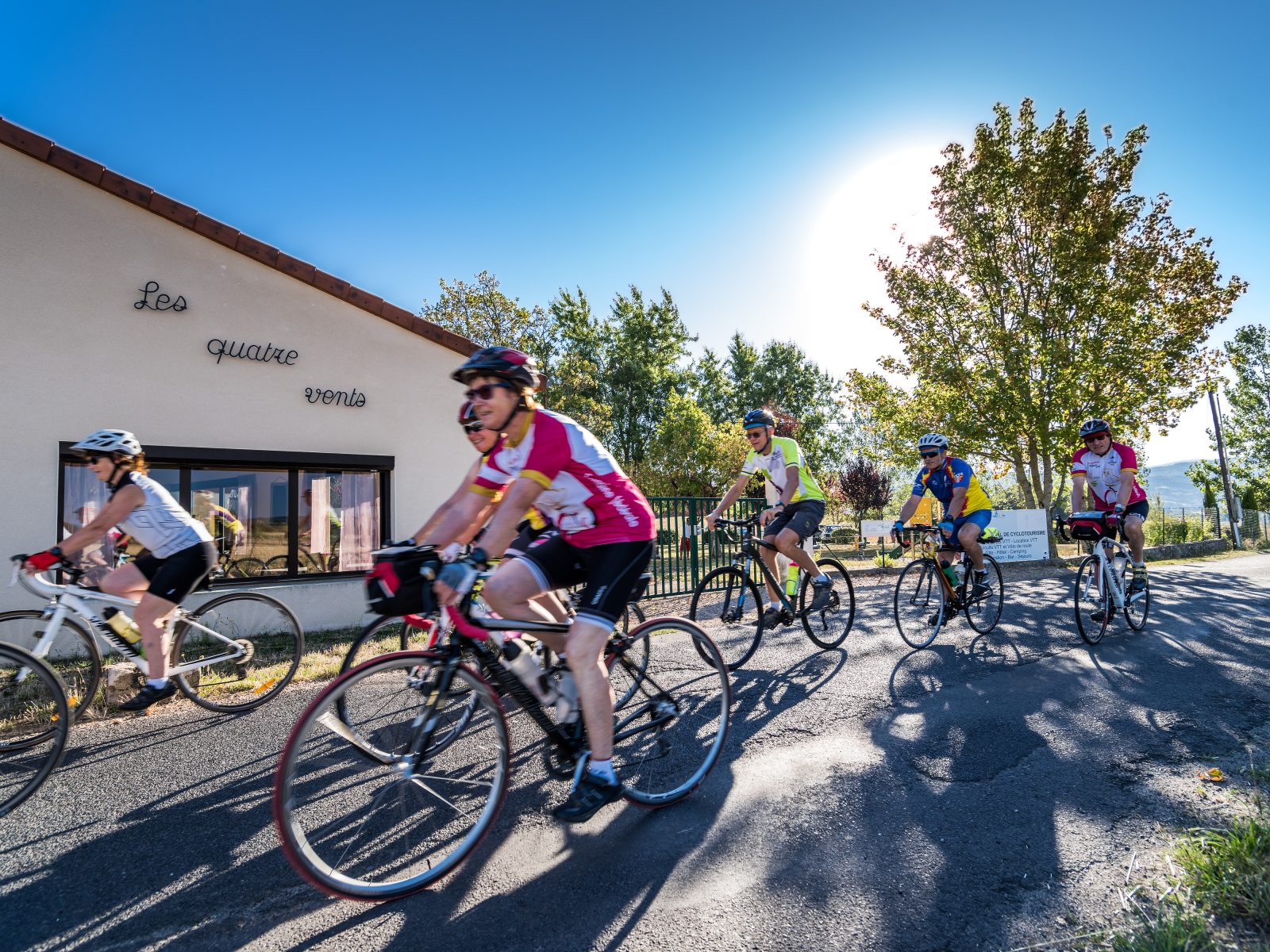
Captured by Centre les 4 Vents
Explore Nearby
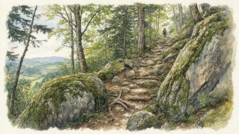
2 days of bivouac on Hautes-Chaumes
Between the jasseries, the peat bogs and the panoramas of the Alps on a clear day, here is a bivouac on the volcanic ridges of Livradois-Forez immersed in nature and accessible by train.
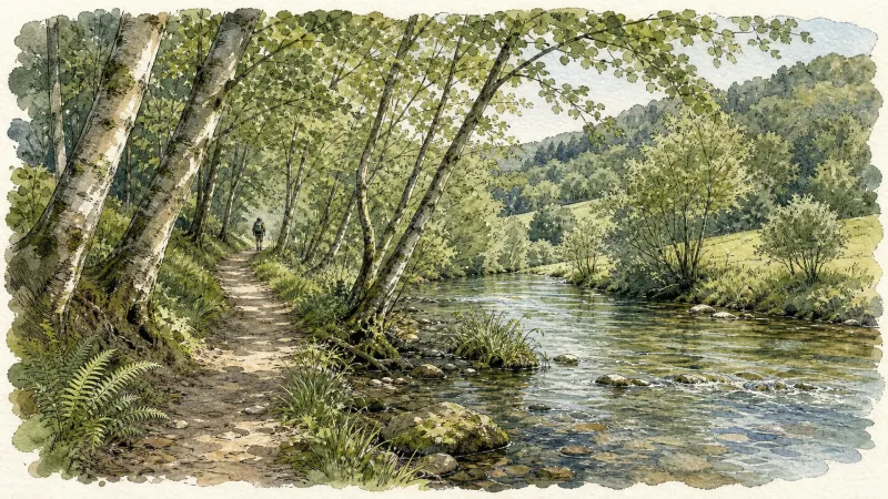
Ambert
This short circuit allows you to discover the two facets of Ambert: the natural side with the Bois de Boulogne, the Red Hen trail, the path along the Dore and the heritage side with the half-timbered houses, the round town hall, the cheese house and the St-Jean church.
Around the Couzon valley (circuit n°8)
Very nice, varied marked circuit, which alternates descents and climbs on paths presenting several technical passages (deep ruts, slopes, small screes). In particular, you should be particularly vigilant during the first descent between Ollières and the Mégain bridge, especially if you have not had the opportunity to warm up a little beforehand. The circuit then runs along the western part of Lake Aubusson before passing near the Notre-Dame d'Espinasse chapel built just above a miraculous spring from which water springs which can treat and cure certain skin diseases such as eczema...