
Illustration in progress
Marat
Stretching across the dual banks of the Dore river, Marat presents a landscape of stark elevation and dense canopy. The terrain rises sharply from the river valley to over a thousand meters, where the air thins and the scent of damp pine dominates. Over sixty percent of this expanse is surrendered to the forest, a sprawling green labyrinth that dictates the quiet, rhythmic isolation of the eighty distinct hamlets scattered across its borders. To wander here is to traverse a territory defined by a rigorous mountain climate, where the weather is a physical presence, cooling the summer afternoons and casting a silver light over the granite outcrops.
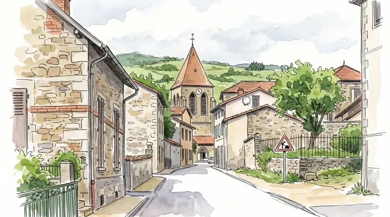
While the name might evoke the fervor of the Revolution, the village’s identity predates the famous Jean-Paul Marat by nearly a millennium, rooted in the 10th-century phonetics of “Maharat.” In the hamlet of Mirat, the soil occasionally surrenders fragments of Roman pottery and weathered tiles, silent witnesses to a civilization that claimed these slopes long before the current church bells first rang. The Église Saint-Genès stands as a compelling architectural hybrid; its 14th-century bell tower rises with a stoic, defensive weight, contrasting with the more refined lines of the late 19th-century nave. This sacred site, dedicated to a 7th-century Bishop of Auvergne, serves as the spiritual anchor for a community once deeply tethered to the monastic influence of Cunlhat.
For those drawn to the poignant geometry of ruin, the Tour de Grippel offers a singular encounter with the 15th century. This partially collapsed tower, stark and weathered, remains a sentinel of a forgotten estate, its stonework slowly yielding to the persistence of time. Nearby, the 14th-century Château de Teilhet adds a layer of noble austerity to the landscape, its registered historical status preserving the severe, functional elegance of medieval Auvergnat masonry. Moving between these monuments and the smaller farmsteads, one observes an architectural vernacular of gray stone and heavy slate, a testament to a local history built on resilience and the formidable demands of the Livradois terrain.
Local profile
At a Glance
- Population
- 801
- Demonym
- —
- Altitude
- 436–1025 m
- Forest
- 60.2%
residents
local residents
lowest to highest
commune coverage
Did You Know?
“Despite its revolutionary name, the commune bears no historical relation to Jean-Paul Marat; the toponym "Maharat" appears in records as early as the 10th century.”
Cultural Heritage
Protected historic monuments in Marat
Tour de Grippel
Marat
Château de Teilhet
Marat
Eglise Saint-Clair
Marat
Recent Wildlife & Flora Log
Nature observations recorded within 5km of Marat.
Winter Jasmine
Elatior hybrid primroses
Conopodium majus (Gouan) Loret
Slender Spined Bramble
Lamium album L.
Myosotis martini Sennen
English Primrose
Beech
Garden Forget-me-not
Common Spruce
Trails around Marat
Discover physical challenges and natural beauty in the immediate vicinity.

Dore Loop
The Livradois-Forez Regional Natural Park, a land of grassland and woodland, promises a memorable journey between valleys and ridges.

Forez Circuit — Les Hautes-Chaumes (Loop No. 5)
This route reveals nature that is still wild in places: Livradois-Forez and its vast, rolling upland plateaus, including Les Hautes-Chaumes.
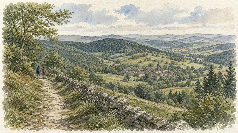
Des Hautes-Chaumes au Livradois (circuit route n°8)
Discover this trail through the heart of Livradois-Forez.
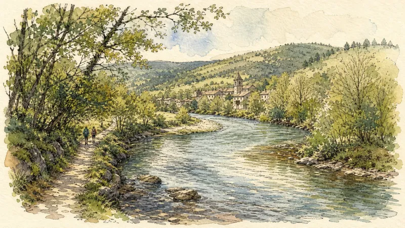
La Chapelle-Agnon
Start at the church in La Chapelle-Agnon. Descend on the D267 and take the first left. At the cemetery, go straight ahead, then turn right by a stone cross. (1) At the junction turn right, then right again at the fork towards La Collange. (2) Before the hamlet, follow the paved track left and continue straight. Descend on a path to the junction beside an isolated house. (3) Turn left and continue north, ignoring several tracks on both sides. (4) Staying on the hillside, cross La Combas and Le Mouhet, take the road left to Le Paton, then bear left within the hamlet. (5) On leaving Le Montel, take the track left and climb along the forest edge. Continue to the road above Le Varrat. Follow it left, ignoring forestry tracks. (6) At Le Crouhet, take the path descending into the valley in front of the house on the right. Cross the Sardie stream and climb below Farnouze. (7) At the junction turn left, cross a small stream, climb and continue on the track right. After the large ruined building, turn left. (8) At Farges, follow the edge of the hamlet and take the path descending left to the stream. Cross it and climb to the D37, following it for 100 m. At the fork turn left to return to the cemetery and church.
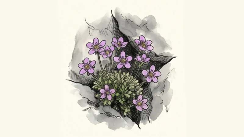
The Rucheix municipal forest
D. From the wetland car park, go left on the road going up to Chantegrelle and turn left onto a motorable path. At the road, turn right for 250 m, then turn left onto a descending path. At the crossroads turn right and keep this main path to go down to the Gérize stream. 1. Just before the stream, turn right, climb a steep path to reach the charming hamlet of La Sauvedie. Cross the small village of La Sauvedie. Just outside the village, take a forest track on the left. Go past a house on your left and keep this track to enter the Rucheix municipal forest. 2. Leave a first path which goes up to the right and take the second 250 m further. Go up this path then arrive at the forest track and continue on the right. At the crossroads, turn right onto the descending path. At the crow's feet, turn left, follow the adobe farm. This path will take you to the village of Fougères. 3. Turn left onto a tarmac road, then turn right just before the hamlet Le Bouchet. Pass between the houses and continue always on the right, the road turns into a path. Arrive at the road, cross to take the small road opposite(view of Pierre-sur-Haute). At the crossroads, continue on the right, then at the next bend continue straight on a descending path. The latter comes out on the road a few meters before the cemetery. Go down to the right, then to the left, to cross the wetland and find the start.
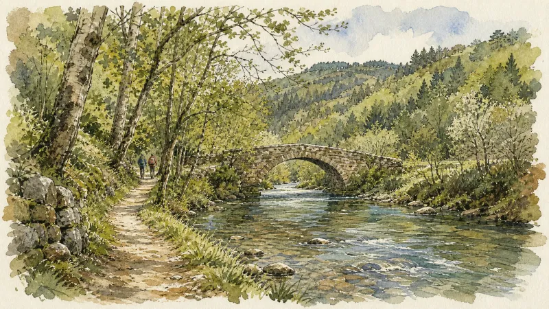
The Sainte-Agathe Trail
Sainte-Agathe, a Sicilian legend rooted in the Forez This loop leads from Thiers to Lac d’Aubusson, then to Olliergues beside the Dore, before climbing through meadows and beech woodland to La Renaudie. It winds through villages and hamlets, crosses the Aiguebonne state forest, and descends to Sainte-Agathe and its church, rich in heritage associated with the saint. It then passes Château de Vaulx and finishes through the spectacular Vallée des Rouets beside the Durolle, returning to Thiers, capital of cutlery.
Explore Nearby
Complement your visit to Marat by exploring these neighboring villages.
Bertignat
An evocative ascent through the granite-strewn forests of the Livradois, where Gallo-Roman echoes meet the austere beauty of 15th-century stone.
La Chapelle-Agnon
A high-altitude sanctuary where deep forests meet the austere beauty of 12th-century stone, offering a profound immersion into the literary and geological soul of the Livradois.
Le Brugeron
A high-altitude sanctuary on the Forez slopes, defined by dense fir forests and a church housing rare mechanical harmoniums that once automated the village's liturgical music.
Olliergues
A medieval riverside destination where the Turenne dynasty once held court, offering a rich tapestry of bridge-spanning legends and neo-renaissance architecture.
Olmet
An evocative ascent into the high Forez, where 13th-century fortress ruins overlook a rushing river and 20th-century frescoes illuminate a medieval sanctuary.
Saint-Gervais-sous-Meymont
A journey through the administrative heart of the Livradois-Forez, featuring a rare covered bridge over the Dore and deep immersion in high-altitude forestry.
Saint-Pierre-la-Bourlhonne
An evocative high-altitude escape where the legacy of transhumance meets the austere beauty of the Forez summits.
Vertolaye
A valley destination where industrial heritage meets medieval endurance, marked by a Southern Gothic church and the creative resonance of the Gare de l'Utopie.


