
Illustration in progress
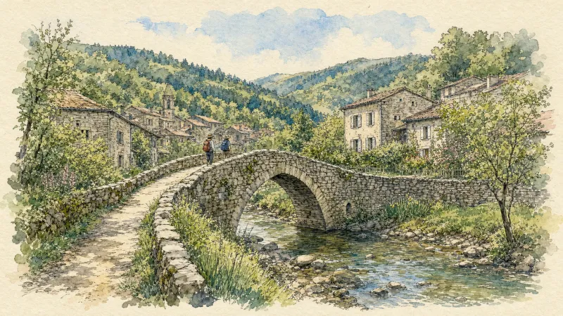
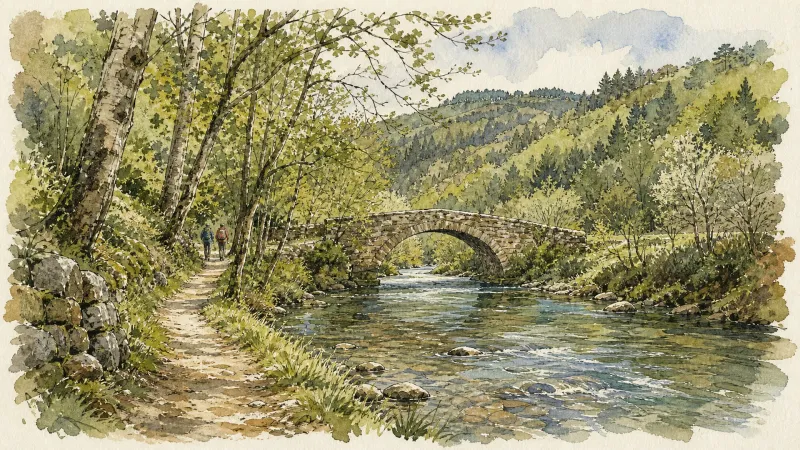
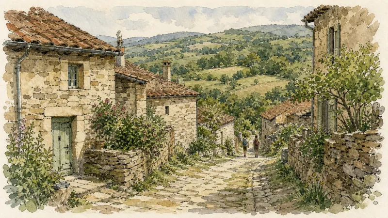
The town clings to the banks of the Dore, where the river carves a silver path through the dense emerald canopy of the Livradois. Here, the architecture is a dialogue between rough-hewn granite and the fluid motion of the water. The medieval bridge, a rugged spine of ancient masonry, offers a vantage point to observe the slow erosion of time against the village’s lower quays. Ascending the narrow arteries of the center reveals a settlement defined by its verticality, where every turn exposes the grainy texture of volcanic stone weathered by centuries of mountain humidity.
Dominating the higher ground, the Château d’Olliergues stands as a sentinel of noble lineage, once counting the illustrious family of Marshal Turenne among its masters. Its walls now guard a museum dedicated to the rhythmic clatter of vanished looms and the precise tools of regional craftsmen, preserving the tactile history of the valley’s industrial soul. Further afield, the silhouette of the Château de la Montmarie introduces a different cadence to the landscape; its neo-renaissance lines, commissioned by the industrialist Baron de Nervo, provide a sharp, aristocratic contrast to the more austere medieval ruins found at Meymont. These estates serve as anchors for the local history, reflecting the shifts from feudal dominance to the refined summer life of the nineteenth-century elite.
Spiritual life in the commune is etched into the 15th-century murals of the Église Notre-Dame and the solitary presence of Saint-Martin de la Chabasse. Within these hallowed interiors, the silence is heavy with the memory of figures like the venerable François Gaschon, whose missionary zeal left an indelible mark on the valley. Legend persists in the very masonry of the “Devil’s Bridge,” where folklore suggests a supernatural hand in the construction of its improbable arches. An afternoon spent traversing these sites reveals a community where the border between the divine and the folkloric remains as thin as the mountain mist rising from the riverbed at dusk.
Markets of Livradois-Forez
Market day
Time your visit to enjoy the local market.
Sunday
Market in Olliergues
Seasonal market · July to September
Local profile
At a Glance
- Population
- 736
- Demonym
- —
- Altitude
- 382–663 m
- Forest
- 53.7%
residents
local residents
lowest to highest
commune coverage
Did You Know?
“The medieval bridge spanning the Dore is locally whispered to be a "Pont du Diable," a testament to the engineering marvels that once defied the river's force.”
Cultural Heritage
Protected historic monuments in Olliergues
Maison dite des Marchands
rue du Pavé ; place de l'Ancienne-Halle
Eglise Saint-Martin de la Chabasse
Olliergues
Pont du Diable, sur la Dore, à Giroux (également sur commune de Tours-sur-Meymont)
Giroux
Eglise Notre-Dame
Olliergues
Ruines du pont sur la Dore
Olliergues
Recent Wildlife & Flora Log
Nature observations recorded within 5km of Olliergues.
Winter Jasmine
Elatior hybrid primroses
Conopodium majus (Gouan) Loret
Slender Spined Bramble
Lamium album L.
Myosotis martini Sennen
English Primrose
Beech
Garden Forget-me-not
Common Spruce
Trails around Olliergues
Discover physical challenges and natural beauty in the immediate vicinity.
En passant par Olliergues (circuit route n°15)
Discover this trail through the heart of Livradois-Forez.
Great Livradois-Forez Mountain-Bike Traverse
In the heart of Auvergne, the Great Livradois-Forez Traverse takes you around the Livradois-Forez Regional Natural Park, between two mountain ranges rising from 400 m to 1,600 m.
The Sainte-Agathe Trail
Sainte-Agathe, a Sicilian legend rooted in the Forez This loop leads from Thiers to Lac d’Aubusson, then to Olliergues beside the Dore, before climbing through meadows and beech woodland to La Renaudie. It winds through villages and hamlets, crosses the Aiguebonne state forest, and descends to Sainte-Agathe and its church, rich in heritage associated with the saint. It then passes Château de Vaulx and finishes through the spectacular Vallée des Rouets beside the Durolle, returning to Thiers, capital of cutlery.
La Chabasse Church
Start: From the main square in Olliergues, behind the town hall, take the walled path right around the château. Continue towards the church, go around it to the right and follow Rue de la Chaussée right. Pass the gendarmerie and climb the steps opposite to the D906. Follow it left. On the bend leaving Olliergues, take the road climbing right. At its top, climb the track opposite, slightly right. At the road follow the track right to the D87. Turn left towards La Chabasse church (view of the Forez mountains and Pierre-sur-Haute). 1. At the church, (short-cut: turn right towards Camping des Chelles, then right after 200 m) continue straight on the D87. After 200 m, descend left to Les Chaux. Continue on the road right through the hamlet. After 500 m descend on a woodland track left. Continue through the valley, cross the bridge right and climb to the paved road (view of Saint-Gervais-sous-Meymont). Follow it left towards Meymont. 2. Walk around the village (view of the Chaîne des Puys), retrace your steps and climb the track opposite. At the paved road continue straight (view of the Dore valley and Forez mountains). Turn left towards Lavest. Entering the hamlet, climb the track right. At the junction climb right to the D87 and follow it left. At the fork turn right and climb the track left. Keep to this main track to the paved road. 3. Follow the road left, ignoring the road to Camping des Chelles. At the next fork take the track left. Cross the road to the track opposite. 4. At the junction before the electrical substation turn right. After 350 m, follow the road left for 10 m, then turn right down the dirt track. After a bend, continue on the descending road opposite beside the secondary school. Cross the road and descend the paved street opposite. After the fountain keep right to the main street (view of Olliergues and its château). Turn right to return to the town-hall square.
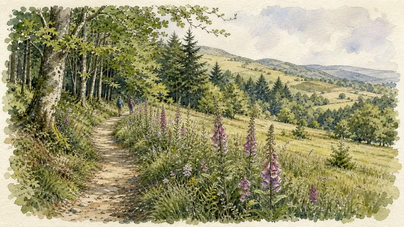
Les Chelles
This 5.2 km loop starts and finishes at Les Chelles, with 161 m of ascent and an estimated duration of 1 hr 30 min.
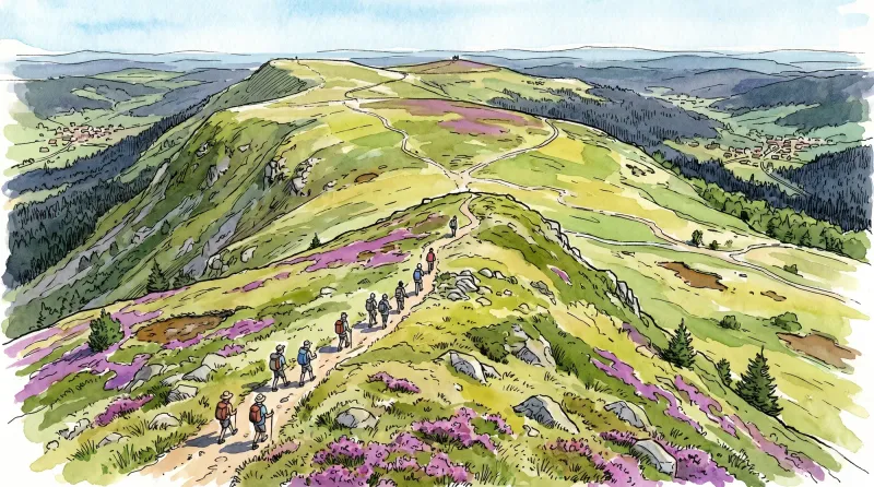
Les Cols des Crêtes du Forez (circuit route n°31)
Discover this trail through the heart of Livradois-Forez.
Explore Nearby
Complement your visit to Olliergues by exploring these neighboring villages.
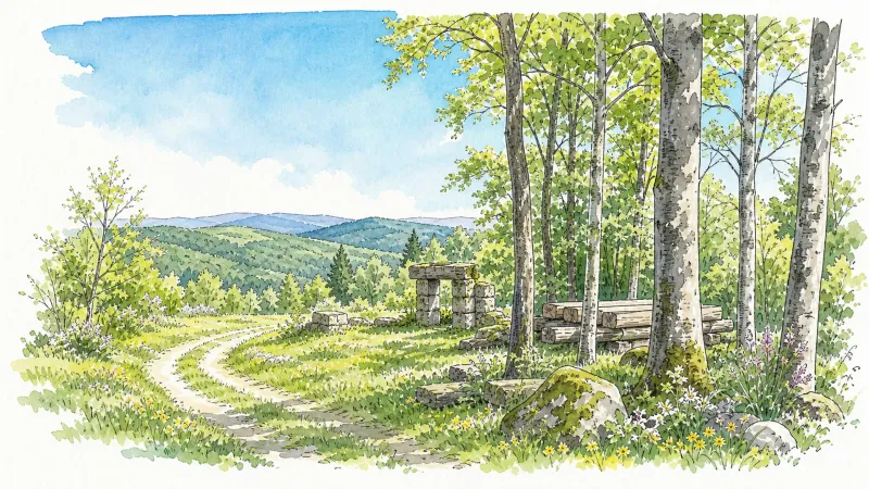
Augerolles
A journey into the origins of Roman nobility and the architectural layering of the Livradois-Forez, where ruined fortresses and timber-wealthy châteaux tell a tale of ascent and revolution.
Marat
A journey through the high forests of the Dore valley, where medieval ruins and 14th-century masonry overlook a landscape of eighty ancient hamlets.
Olmet
An evocative ascent into the high Forez, where 13th-century fortress ruins overlook a rushing river and 20th-century frescoes illuminate a medieval sanctuary.
Saint-Gervais-sous-Meymont
A journey through the administrative heart of the Livradois-Forez, featuring a rare covered bridge over the Dore and deep immersion in high-altitude forestry.
Tours-sur-Meymont
A sanctuary of medieval fortification and rare botanical heritage, where 15th-century stone spans the Dore and ancient orchards preserve the flavors of the past.


