
Elevation Profile
424–625 m
Start: From the main square in Olliergues, behind the town hall, take the walled path right around the château. Continue towards the church,
go around it to the right and follow Rue de la Chaussée right. Pass the gendarmerie
and climb the steps opposite to the D906. Follow it left. On the bend leaving Olliergues, take the road climbing right. At its top, climb the track opposite, slightly right. At the road follow the track right to the D87. Turn left towards La Chabasse church (view of the Forez mountains and Pierre-sur-Haute).
1. At the church, (short-cut: turn right towards
Camping des Chelles, then right after 200 m) continue
straight on the D87. After 200 m, descend left to Les Chaux.
Continue on the road right through the hamlet. After 500 m
descend on a woodland track left. Continue through the valley, cross the
bridge right and climb to the paved road (view of Saint-Gervais-sous-Meymont). Follow it left towards Meymont.
2. Walk around the village (view of the Chaîne des Puys), retrace your steps and climb the track opposite. At the paved road continue straight (view of the Dore valley and Forez mountains). Turn left towards Lavest. Entering the hamlet, climb the track right. At the junction climb right to the D87 and follow it left. At the fork turn right and climb the track left. Keep to this main track to the paved road.
3. Follow the road left, ignoring the road to Camping des Chelles. At the next fork take the track left. Cross the road to the track opposite.
4. At the junction before the electrical substation turn right. After 350 m, follow the road left for 10 m, then turn
right down the dirt track. After a bend, continue on the descending road opposite beside the secondary school. Cross the road and descend the paved street opposite. After the fountain keep right to the main street (view of Olliergues and its château). Turn right to return to the town-hall square.
At a Glance
- Duration
- 4.3hrs
- Distance
- 14.4km
- Elevation +
- +473 m
- Elevation -
- -475 m
At a Glance
Live Weather
Departure / Arrival · Olliergues
Live conditions
—
Feels like
—
Wind / gusts
—
Visibility
—
Updated: —
Field notes and images
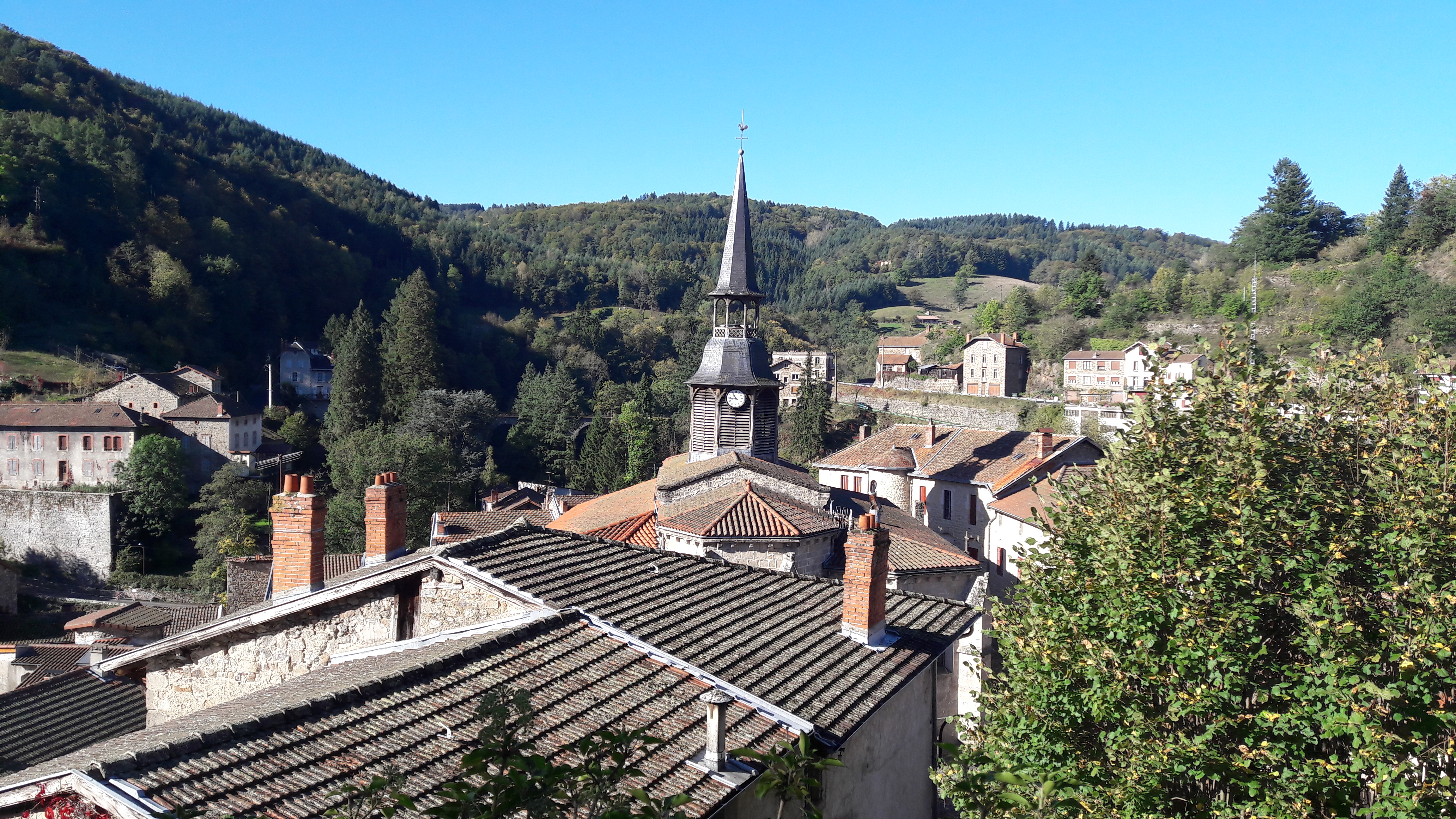
Olliergues
Captured by Maison du Tourisme
Explore Nearby
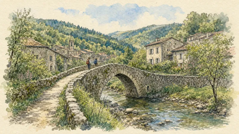
En passant par Olliergues (circuit route n°15)
Discover this trail through the heart of Livradois-Forez.
Great Livradois-Forez Mountain-Bike Traverse
In the heart of Auvergne, the Great Livradois-Forez Traverse takes you around the Livradois-Forez Regional Natural Park, between two mountain ranges rising from 400 m to 1,600 m.
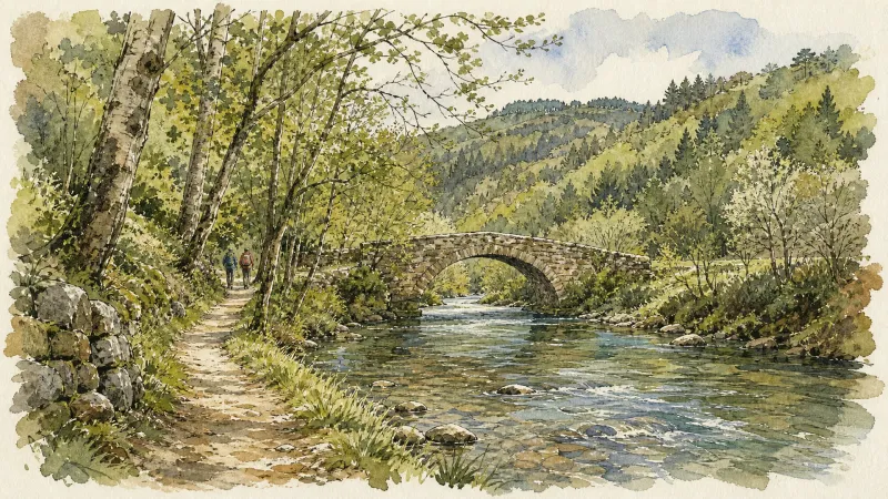
The Sainte-Agathe Trail
Sainte-Agathe, a Sicilian legend rooted in the Forez This loop leads from Thiers to Lac d’Aubusson, then to Olliergues beside the Dore, before climbing through meadows and beech woodland to La Renaudie. It winds through villages and hamlets, crosses the Aiguebonne state forest, and descends to Sainte-Agathe and its church, rich in heritage associated with the saint. It then passes Château de Vaulx and finishes through the spectacular Vallée des Rouets beside the Durolle, returning to Thiers, capital of cutlery.