
Illustration in progress
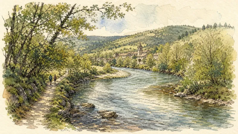
The passage into Saint-Gervais-sous-Meymont is defined by the architectural rarity of its covered wooden bridge, which spans the Dore with a quiet, structural grace. This timbered crossing serves as a sensory threshold, where the cool, damp air of the riverbank meets the scent of aged oak and weathered pine. Unlike the stone spans common to the region, this bridge offers a rhythmic play of light and shadow across its interior, framing the water’s edge as it carves through the lower elevations of the commune. It is a location that demands a slow pace, inviting travelers to observe the interplay between the engineering of the past and the persistent, amber flow of the valley’s primary artery.
Ascending from the river, the village reveals its role as the intellectual and administrative pulse of the Livradois-Forez Regional Nature Park. The Maison du Parc, located on this territory, serves as a testament to the region’s commitment to preserving its rugged character and ecological integrity. The stone and timber of the local architecture reflect a landscape where human habitation has long been secondary to the sprawling canopy of the forest, which claims more than half of the land. Occasionally, the silence of the woods is punctuated by the nostalgic whistle of the AGRIVAP tourist train, its vintage carriages tracing the contours of the hills and offering a fleeting, cinematic glimpse into the industrial heritage of the Auvergne.
History lingers in the very nomenclature of the commune, which shed its saintly prefix to become Gervais-Maymont during the fervor of the French Revolution. This era of upheaval left its mark in local records of religious discord, adding a layer of historical tension to a landscape that now feels profoundly serene. The terrain rises sharply toward the heights of 781 meters, where the habitat becomes increasingly sparse and the forest grows dense with shadow. Here, the granite outcrops and high meadows provide a stark, noble backdrop for an afternoon of contemplation, far removed from the more frequented paths of the Puy-de-Dôme, where the only company is the whisper of the mountain wind through the high fir trees.
Local profile
At a Glance
- Population
- 213
- Demonym
- —
- Altitude
- 393–781 m
- Forest
- 51.9%
residents
local residents
lowest to highest
commune coverage
Did You Know?
“During the French Revolution, the commune was stripped of its religious associations and officially renamed Gervais-Maymont.”
Cultural Heritage
Protected historic monuments in Saint-Gervais-sous-Meymont
Eglise Saint-Gervais et Saint-Protais
Saint-Gervais-sous-Meymont
Recent Wildlife & Flora Log
Nature observations recorded within 5km of Saint-Gervais-sous-Meymont.
Winter Jasmine
Elatior hybrid primroses
Conopodium majus (Gouan) Loret
Slender Spined Bramble
Lamium album L.
Myosotis martini Sennen
English Primrose
Garden Forget-me-not
Barren Strawberry
Blue Barberry
Trails around Saint-Gervais-sous-Meymont
Discover physical challenges and natural beauty in the immediate vicinity.
Around the Maison du Parc
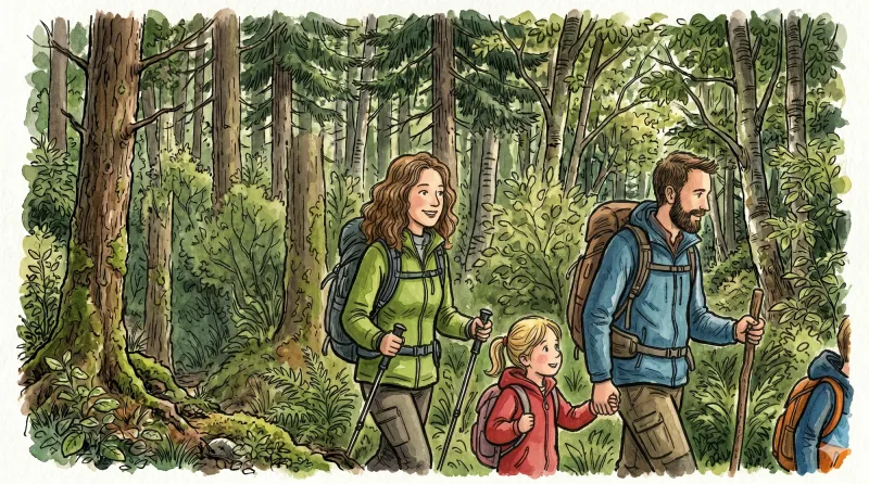
Departure: From the Parc Livradois-Forez house, in Saint-Gervais sous-Meymont, go up and through the village. At the exit, go up the path on the left. Leave another one on the left. 1. On a small plateau, turn right towards the houses of Combe. Go up the D254 on the left for 50 m. 2. Leave the road and go down the path on the right, then climb under the chestnut and hazel trees, on the right, after a stream. Follow the D254 on the right(view of the Dore and the foothills of Forez: grün de Chignore). 3. At Griolles, go down the path on the right. At the first split, climb to the left in the woods, then continue along the edge. 4. Turn right into Lauphant(well)and go up the small road to the plateau(view of the Forez). 5. After crossing Le Bouchet, go down the small road on the left, then follow the D254 on the right. At the crossroads, take the D259 on the left, towards Olliergues. 6. After 300 m, go up the path on the right behind a farm shed, in the woods. Always keep the same path to exit the woods (view of the Dore valley, Forez and the Puys chain). 7. At the iron cross, turn right, then immediately left along the woods until Pradat. 8. In Pradat, go up the path on the left. At the crossroads, turn left onto the perpendicular path(view of the Château de Blanchisse). Always keep the same path (view) until you reach a small road; follow her in front. 9. Before the first house in Guimoye, go down the path to the right, full slope, in the woods. 10. Cut the D259 to take the path on the left; sometimes paved, in deciduous woods, it passes a stream and small waterfalls. 11. Take the road on the right. Cross the Constancis and the Thiaudat straight on. At the fountain, go up the path on the left. 12. Turn and go down the perpendicular path, on the right. At the Croix des Pouillades, take the road on the left. At the exit of the second bend, go down the grassy path on the right. Returning to point 1, in the middle of the meadows, go right to dive towards the Maison du Parc.
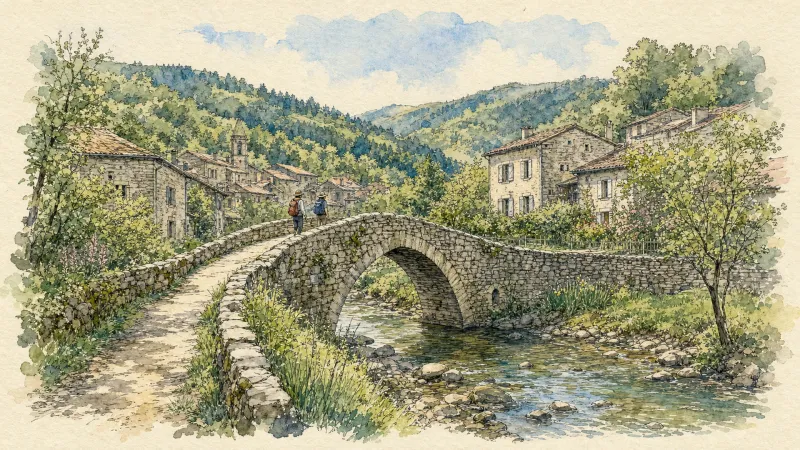
En passant par Olliergues (circuit route n°15)
Discover this trail through the heart of Livradois-Forez.
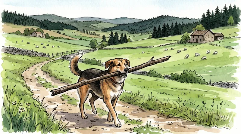
Great Livradois-Forez Mountain-Bike Traverse
In the heart of Auvergne, the Great Livradois-Forez Traverse takes you around the Livradois-Forez Regional Natural Park, between two mountain ranges rising from 400 m to 1,600 m.
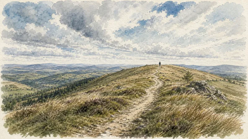
Petit tour à Ambert (circuit route n°3)
Discover this trail through the heart of Livradois-Forez.
In the Footsteps of Marie-No
Start: From the town hall square in Tours-sur-Meymont, follow the D225 to the left for 50 m. At the junction, take the surfaced road towards Saint-Gervais-sous-Meymont. Then take the first track descending to the left alongside the Tours-sur-Meymont heritage orchard. At the crossroads of 4 tracks, continue straight ahead and stay on the main track to the Minchoux stream. 1. Cross the stream and, after climbing for 50 m, take a path between 2 fields. At the T-junction, turn onto the track on the right. Cross the village of La Calendre and continue on the main track to the surfaced road. Cross it and take the road climbing towards the village of Bouget. 2. At the cross in the village, continue on the track to the right. 200 m before the entrance to the village of Les Fraisses, take the track on the right. At the T-junction, turn left. 100 m further on, at the second T-junction, take the surfaced road to the right. On leaving the village, take the track descending to the right. Cross the stream and, at the crossroads of 4 tracks, continue straight ahead (an optional there-and-back leads to the statue of the Virgin at Piedmont) to the village of Vol. 3. Follow the surfaced road to the right. At the junction, continue straight ahead, then take the first track descending to the left. Continue on the main track to the village of Campines. At the junction, continue to the right on the vehicle track. At the fork, continue climbing to the left to the crossroads of 4 tracks. 4. Take the track on the right and follow it to the D225 (views of the Chaîne des Puys and the Massif du Sancy). Cross the D225 and continue straight ahead to the village of La Gorce. Enter the village to the right. In the centre of the village, take the road to the right and continue straight ahead. The road becomes a track. At the T-junction, turn left. Then take the first track on the left to the D259. 5. Cross the road to enter the village of Bourdelles. Continue on the track straight ahead to the surfaced road. Turn right to climb back into the village of Tours-sur-Meymont. At the church, follow the D225 to the right to return to the car park.
Tour of Livradois-Forez
This route of nearly 120 km, crossing most of the towns established in the Forez and Livradois mountains, has earned quite a reputation! In turn, you can admire the Chaîne des Puys–Limagne Fault from the col des Supeyres and the col du Béal, the Alps from the Forez mountains, and the Dore basin from the Livradois mountains. You will discover the natural environments that make the regional natural park in Auvergne so rich: the high moorland of Les Hautes-Chaumes, peat bogs, alluvial forests, beech woods and small mid-mountain rivers. You will also notice the discreet imprint of people in the high-altitude jasseries, pass the round town hall in Ambert, and have the opportunity to taste Fourme d’Ambert cheese and patia. Everything encourages you to switch off. On the Tour of Livradois-Forez, you can truly enjoy the present moment.
Explore Nearby
Complement your visit to Saint-Gervais-sous-Meymont by exploring these neighboring villages.
La Chapelle-Agnon
A high-altitude sanctuary where deep forests meet the austere beauty of 12th-century stone, offering a profound immersion into the literary and geological soul of the Livradois.
Marat
A journey through the high forests of the Dore valley, where medieval ruins and 14th-century masonry overlook a landscape of eighty ancient hamlets.
Olliergues
A medieval riverside destination where the Turenne dynasty once held court, offering a rich tapestry of bridge-spanning legends and neo-renaissance architecture.
Tours-sur-Meymont
A sanctuary of medieval fortification and rare botanical heritage, where 15th-century stone spans the Dore and ancient orchards preserve the flavors of the past.


