
Elevation Profile
512–745 m
Start at the church in La Chapelle-Agnon. Descend on the D267 and take the first left. At the cemetery, go straight ahead, then turn right by a stone cross.
(1) At the junction turn right, then right again at the fork towards La Collange.
(2) Before the hamlet, follow the paved track left and continue straight. Descend on a path to the junction beside an isolated house.
(3) Turn left and continue north, ignoring several tracks on both sides.
(4) Staying on the hillside, cross La Combas and Le Mouhet, take the road left to Le Paton, then bear left within the hamlet.
(5) On leaving Le Montel, take the track left and climb along the forest edge. Continue to the road above Le Varrat. Follow it left, ignoring forestry tracks.
(6) At Le Crouhet, take the path descending into the valley in front of the house on the right. Cross the Sardie stream and climb below Farnouze.
(7) At the junction turn left, cross a small stream, climb and continue on the track right. After the large ruined building, turn left.
(8) At Farges, follow the edge of the hamlet and take the path descending left to the stream. Cross it and climb to the D37, following it for 100 m. At the fork turn left to return to the cemetery and church.
At a Glance
- Duration
- 3.3hrs
- Distance
- 9.7km
- Elevation +
- +357 m
- Elevation -
- -356 m
At a Glance
Live Weather
Departure / Arrival · Eglise de La-Chapelle-Agnon
Live conditions
—
Feels like
—
Wind / gusts
—
Visibility
—
Updated: —
Field notes and images
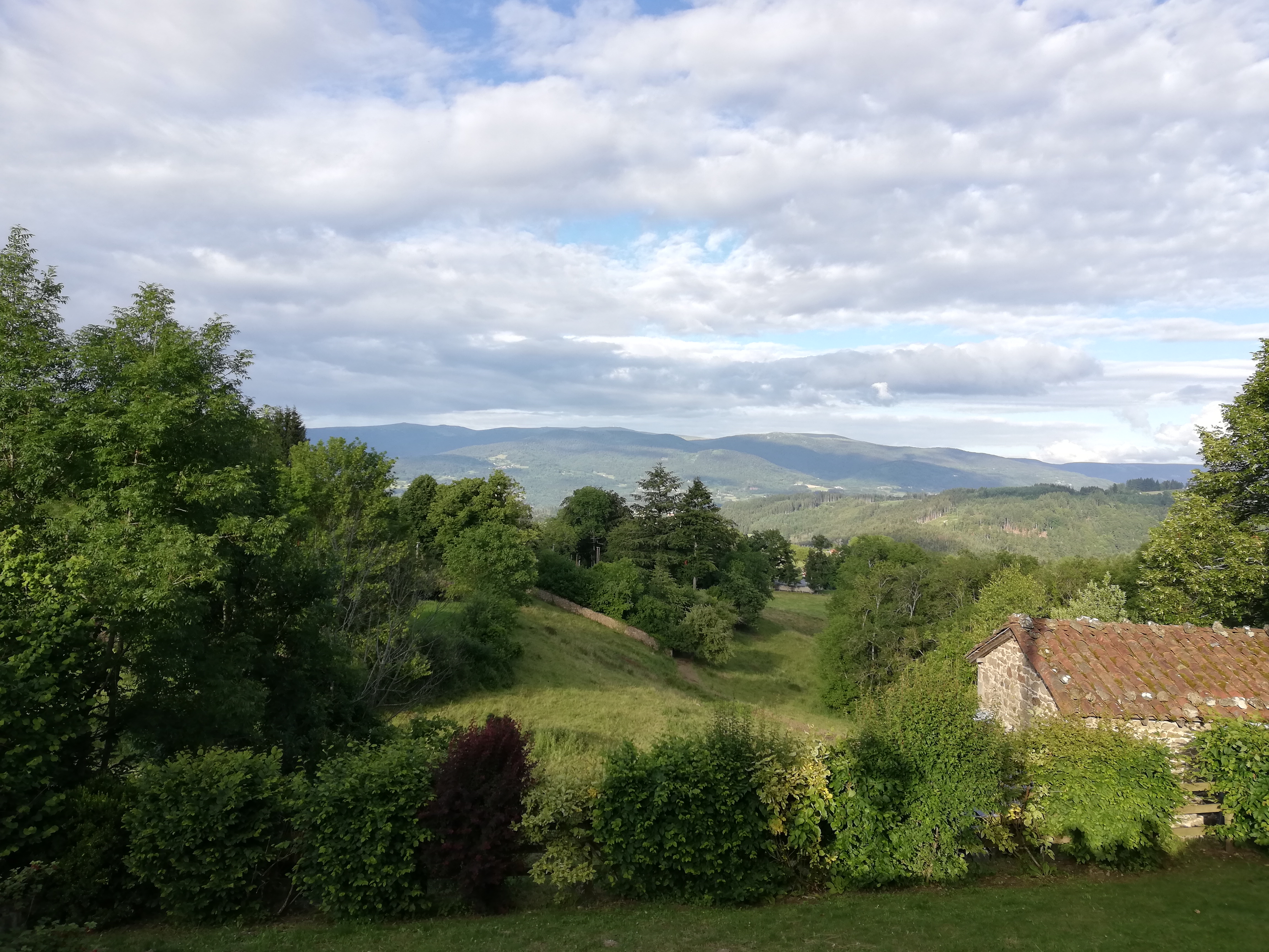
Vue sur les Monts du Forez
Captured by Lucile Grimaud
Explore Nearby

Dore Loop
The Livradois-Forez Regional Natural Park, a land of grassland and woodland, promises a memorable journey between valleys and ridges.

Forez Circuit — Les Hautes-Chaumes (Loop No. 5)
This route reveals nature that is still wild in places: Livradois-Forez and its vast, rolling upland plateaus, including Les Hautes-Chaumes.
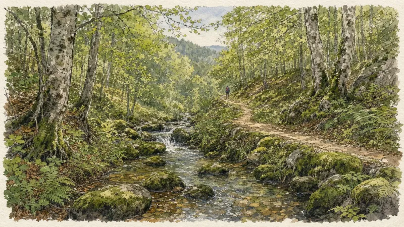
Circuit n°44 Les Cimes du Livradois
Secteur St-Amant-Roche-Savine