
Elevation Profile
475–667 m
D. From the wetland car park, go left on the road going up to Chantegrelle and turn left onto a motorable path. At the road, turn right for 250 m, then turn left onto a descending path. At the crossroads turn right and keep this main path to go down to the
Gérize stream.
1. Just before the stream, turn right, climb a steep path to reach the charming hamlet of La Sauvedie.
Cross the small village of La Sauvedie. Just outside the
village, take a forest track on the left. Go past a house on your left and keep this track to enter the Rucheix municipal forest.
2. Leave a first path which goes up to the right and take
the second 250 m further. Go up this path then arrive at the
forest track and continue on the right. At the crossroads, turn right onto the descending path. At the crow's feet, turn left, follow the adobe farm. This path will take you to the village of Fougères.
3. Turn left onto a tarmac road, then
turn right just before the hamlet Le Bouchet. Pass between the houses and continue always on the right, the road turns into a path. Arrive at the road, cross to take the small road opposite(view of Pierre-sur-Haute). At the crossroads, continue on the right, then at the next bend continue straight on a descending path. The latter comes out on the road a few meters before the cemetery. Go down to the right, then
to the left, to cross the wetland and find the start.
At a Glance
- Duration
- 2.0hrs
- Distance
- 8.5km
- Elevation +
- +274 m
- Elevation -
- -273 m
At a Glance
Live Weather
Departure / Arrival · Marat
Live conditions
—
Feels like
—
Wind / gusts
—
Visibility
—
Updated: —
Field notes and images
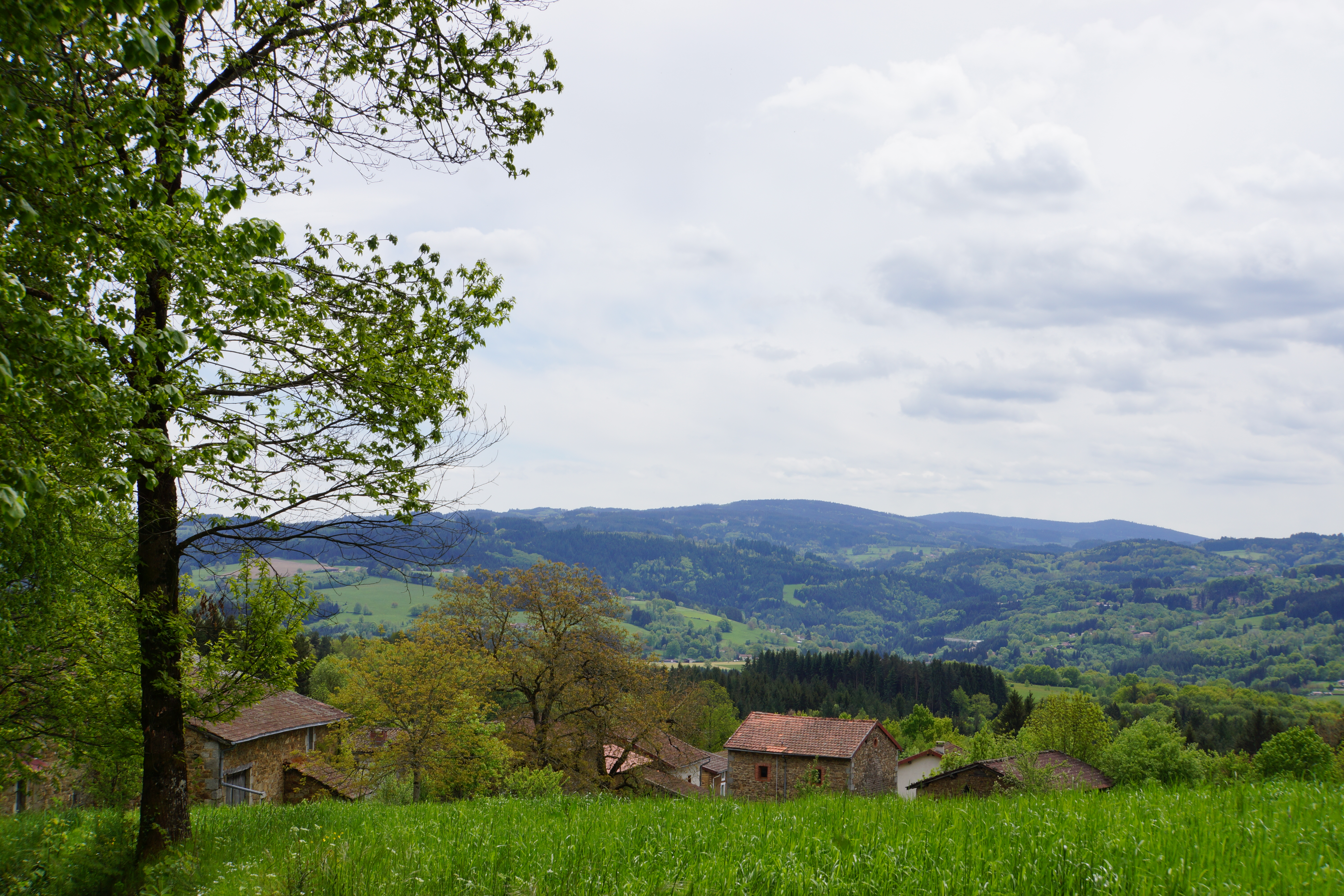
Foret communal du Rucheix
Captured by Maison du Tourisme
Explore Nearby

Dore Loop
The Livradois-Forez Regional Natural Park, a land of grassland and woodland, promises a memorable journey between valleys and ridges.

Forez Circuit — Les Hautes-Chaumes (Loop No. 5)
This route reveals nature that is still wild in places: Livradois-Forez and its vast, rolling upland plateaus, including Les Hautes-Chaumes.
Des Hautes-Chaumes au Livradois (circuit route n°8)
Discover this trail through the heart of Livradois-Forez.