
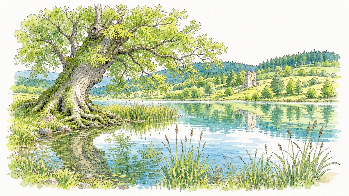
The horizon here is dominated by the 28-hectare expanse of the Lac d’Aubusson, a body of water that mirrors the shifting moods of the Livradois sky. Conceived through the cooperation of thirteen neighboring municipalities, this aquatic centerpiece offers a deliberate contrast to the surrounding agricultural patchwork. The landscape transitions fluidly from lush, rolling pastures—which comprise nearly half the territory—into dense clusters of woodland that cling to the higher elevations. The air carries the distinct crispness of the mountain margins, a sensorial reminder of the 600-meter peaks that define this rural topography.
For those drawn to the enduring weight of history, the Église Notre-Dame d’Espinasse offers a profound encounter with 15th-century Romanesque design. Standing as a silent sentinel beside the masonry is the Sully Lime tree, a living relic with roots stretching back over five centuries. This ancient arbor was planted in the wake of a Deschanel family pilgrimage, its gnarled trunk and sprawling canopy having witnessed generations of local transformation. The texture of the weathered stone set against the vibrant longevity of the lime tree creates an atmosphere of temporal stillness, perfect for an hour of quiet contemplation.
Within the village proper, the 17th-century parish church houses sacred treasures of exceptional antiquity. The interior protects a collection of polychrome wooden sculptures, most notably a Virgin dating to the 11th century and a 13th-century Christ. These figures were preserved using the specialized “Scottarmo” technique, a rare medieval treatment that granted the wood a nearly indestructible resilience. The interplay of filtered light on these ancient pigments reveals the meticulous craftsmanship of the era’s masters, making an excursion into the cool sanctuary a rewarding pursuit for the visiting historian.
Local profile
At a Glance
- Population
- 215
- Demonym
- Aubussonnais
- Altitude
- 355–609 m
- Forest
- 24%
residents
local residents
lowest to highest
commune coverage
Did You Know?
“The village is home to a Sully lime tree over 500 years old, planted following a historic pilgrimage by the Deschanel family.”
Cultural Heritage
Protected historic monuments in Aubusson-d'Auvergne
Eglise Notre-Dame d'Espinasse
Aubusson-d'Auvergne
Recent Wildlife & Flora Log
Nature observations recorded within 5km of Aubusson-d'Auvergne.
Badger
Cross Fox
Corzo
Eurasian Wild Pig
Common Raccoon
Asian races
Ardilla roja
Cuereta blanca
Black Shag
Carrion Crow
Trails around Aubusson-d'Auvergne
Discover physical challenges and natural beauty in the immediate vicinity.

Around the Couzon valley (circuit n°8)
Very nice, varied marked circuit, which alternates descents and climbs on paths presenting several technical passages (deep ruts, slopes, small screes). In particular, you should be particularly vigilant during the first descent between Ollières and the Mégain bridge, especially if you have not had the opportunity to warm up a little beforehand. The circuit then runs along the western part of Lake Aubusson before passing near the Notre-Dame d'Espinasse chapel built just above a miraculous spring from which water springs which can treat and cure certain skin diseases such as eczema...

Forez Circuit — Les Hautes-Chaumes (Loop No. 5)
This route reveals nature that is still wild in places: Livradois-Forez and its vast, rolling upland plateaus, including Les Hautes-Chaumes.
From La Faye to the Couzon
Start: Church square (Place du Marthuret). Take the main street opposite the war memorial, then at the junction take the D 45 straight ahead (towards Olmet/Le Brugeron). At the second junction, continue straight ahead on the same road (towards Olmet/Le Brugeron). 350 m further on, take the track heading left behind the sawmill and reach Clos Granet. Pass the isolated house, then follow the track descending to the right. At the road, turn left towards La Forie. Cross the village and immediately take the track on the left climbing to Poyet-Haut. Pass below the village; at the lime tree, turn right as far as the cross, then continue right to the junction. Continue on the D 42 (towards Vollore-Montagne). 1. 120 m further on, take the track heading left (viewpoint over the Chaîne des Puys). At the first junction, continue straight ahead on the grassy track. At the next junction, take the track climbing to the left. At the fork, continue to the right to reach the hamlet of Le Masdorier. 2. At the surfaced section at the entrance to the hamlet, turn left between the houses, then left again onto the small road descending. 100 m further on, the road becomes a track; follow it to the hamlet of Gourgoux. Descend straight ahead towards the iron cross, then reach the D 311. Cross it and take the track straight ahead. At the surfaced road (D41), turn right and follow it to La Roche. 3. Cross the hamlet, then turn onto the grassy track on the left just after the last house (viewpoint). Continue for 300 m. Turn left and descend the track to the D 41. Follow it to the right to enter the village of Aubusson-d’Auvergne. Pass the fountain, then the sawmill, and continue on this road to the village of La Prade. 4. Cross the village; continue for 200 m, then leave the road to the left via the wooden footbridge to enter the lake site. Continue to the left along the bird trail (passing close to the hide). Still following the lakeside, continue on the sandy track. At the junction, before reaching the dam, take the stone track climbing to the left. At the surfaced road, turn right and reach Commiot. 5. At the entrance to the hamlet, take the grassy track on the right for 400 m. At the junction by the transformer, take the track straight ahead alongside a meadow. Follow the surfaced road to the left as far as La Coudercie. 6. Cross the village, then stay on the same road for 400 m (view of the village of Augerolles). At the wastewater treatment plant, turn right, then return to the village of Augerolles and the church square.
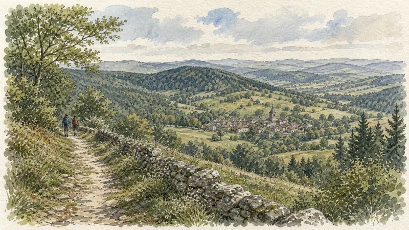
Des Hautes-Chaumes au Livradois (circuit route n°8)
Discover this trail through the heart of Livradois-Forez.
Des Margerides au Grun de Chignore (circuit route n°7)
Discover this trail through the heart of Livradois-Forez.

From Vollore to the Lake
Start: Place de la Conche. Pass the town hall and descend to the D7. Cross the departmental road and, just after the garage, turn left towards Le Fraisse (view of Grün de Chignore straight ahead). In the hamlet, turn right, then take a track between 2 houses on the left. Continue straight ahead to the surfaced road. The track descends and then climbs to a surfaced road. Immediately take the track descending to the left as far as the D45. Follow it to the left for 250m, then turn onto the first track on the left. At the following junctions, continue climbing on the main track to the village of Montmiot. 1. Cross Montmiot on the road to the left and continue to the T-junction. Take the track straight ahead and stay on the main track to the surfaced road. Follow it to the right. At the hairpin bend, follow the road climbing slightly to the left to Fontcuberte. Cross the village and, by the last house, take the track climbing to the left. At the junction, turn right, then 10 m further on take the earth track on the left to the road (view of the Forez ridges). Follow the road to the right to the D 313 (views of the Chaîne des Puys, Sancy and Monts du Forez). Cross it and continue straight ahead to the hamlet of Le Besset de la Pause. Cross the village. 2. On leaving, take the earth track to the left of the wrought-iron cross (view of the Chaîne des Puys on the right) and descend to the hamlet of La Félolie (view of Lac d’Aubusson-d’Auvergne). Cross the hamlet, then at the fork descend the road to the left as far as Le Bost. At the bottom of the road, by a house, take the sunken track to reach the church in Aubusson-d’Auvergne. Pass alongside the church, then enter the village. Pass beneath the gateway and descend to the left of the fountain. Continue slightly right between two houses; pass alongside the sawmill. Climb the 1st surfaced road on the right. Follow the D41 to the right, then immediately turn left onto the first track behind the town hall. At the next junction, turn left. 3. 100 m further on, turn right and cross the hamlet of La Chosserie. After 350 m, on leaving a left-hand bend, climb the path on the right. At the top, take the track on the left to the hamlet of Puymillier. Cross the hamlet (large mulberry tree). On leaving, 100 m after the last house, take the path on the right. Descend to a broader track. Follow it to the left and continue straight ahead to the D45. Cross it and branch onto the second vehicle track on the right. Stay on this track to the D7. 4. Follow it to the right before crossing the D45 to take the surfaced road straight ahead (no-entry direction). Turn left onto the first track and continue straight ahead to the hamlet of Rongeron. At the junction, head towards Vollore-Ville, then 150 m further on take the surfaced road descending to the left towards the hamlet of Barbat. Cross it. 150 metres further on, climb the surfaced track on the right. Pass below Château de Vollore and, 200 metres further on, turn right onto the earth track and climb to Place de la Conche.
Explore Nearby
Complement your visit to Aubusson-d'Auvergne by exploring these neighboring villages.
Augerolles
A journey into the origins of Roman nobility and the architectural layering of the Livradois-Forez, where ruined fortresses and timber-wealthy châteaux tell a tale of ascent and revolution.
Courpière
A river-hugging town where Roman pottery kilns and Cluniac priories meet the childhood echoes of Coco Chanel.
Vollore-Ville
A high-altitude sanctuary where Merovingian legends and medieval stone intersect against a backdrop of dense forest and revolutionary history.


