
Illustration in progress
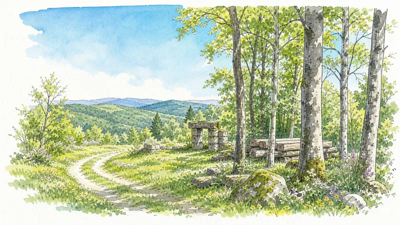
The ascent toward the crests of the Livradois-Forez reveals Vollore-Ville, a site where the altitude climbs sharply toward 1,062 meters, overlooking the Dore valley. This rugged terrain once served as a vital Roman artery, linking the Arverne people with their Ségusiave neighbors along a strategic ridge. The local lore is steeped in the Merovingian era, recalling a fortress so formidable it was considered impregnable until the infamous betrayal by the traitor Procule. Today, the village retains this sense of high-altitude vigilance, with views that stretch across a landscape dominated by the deep greens of ancient woodlands and the pale grey of volcanic stone.
Walking through the village core, one encounters the stark elegance of the 1535 Gothic cross, a limestone sentinel erected by residents seeking divine protection during the ravages of the plague. Nearby, the Church of Saint-Maurice displays refined Gothic renovations that speak to a mid-16th-century revival. The air here carries the weight of a complex history, notably the revolutionary period when the settlement was renamed Vollore-Chignore. It was during these turbulent years that the locals earned the grim epithet “Brûle-morts,” a reference to the radical decision to incinerate the remains of the old parish graveyard—a chilling historical footnote that contrasts with the serene, noble lines of the surrounding architecture.
The architectural centerpiece remains the Château de Vollore, a structure where twelfth-century defensive origins meet the sophisticated modifications of the seventeenth century. The site echoes with the legacy of its global diaspora, having produced prelates who carried the name of this commune to the cathedrals of Tokyo and the deserts of Santa Fe. For those visiting during the height of summer, the stone walls of the castle and the local sanctuary provide the acoustics for an acclaimed concert series, allowing music to resonate through halls that have witnessed centuries of Forezian nobility. As the afternoon light wanes across the timbered slopes, the village offers a profound meditation on the enduring strength of Auvergne’s granite foundations.
Local profile
At a Glance
- Population
- 718
- Demonym
- Vollorois
- Altitude
- 316–1062 m
- Forest
- 54.9%
residents
local residents
lowest to highest
commune coverage
Did You Know?
“During the Revolution, the village earned the grim nickname "Brûle-morts" (Death-burners) after the local government exhumed the old parish cemetery and incinerated the remains.”
Cultural Heritage
Protected historic monuments in Vollore-Ville
Croix en pierre du 16e siècle
Vollore-Ville
Eglise Saint-Maurice
Vollore-Ville
Maison du 16e siècle, avec tourelle d'angle
Vollore-Ville
Croix de chemin
Vollore-Ville
Croix de cimetière en pierre du 16e siècle
Vollore-Ville
Recent Wildlife & Flora Log
Nature observations recorded within 5km of Vollore-Ville.
Cuereta blanca
Black Shag
Carrion Crow
Cowslip
Brown Birch
Great Wood-rush
Crosswort
European chickweed
Common Valerian
Teucrium scorodonia L.
Trails around Vollore-Ville
Discover physical challenges and natural beauty in the immediate vicinity.

Quatre Vents Challenge (Road Circuit No. 14)
One of the shortest circuits designed as a loop from the national cycle-touring centre, this route uses many quiet minor roads. Follow the directions carefully to avoid losing the route. Take particular care on the road after Néronde, especially when turning left off the D906.

Forez Circuit — Les Hautes-Chaumes (Loop No. 5)
This route reveals nature that is still wild in places: Livradois-Forez and its vast, rolling upland plateaus, including Les Hautes-Chaumes.
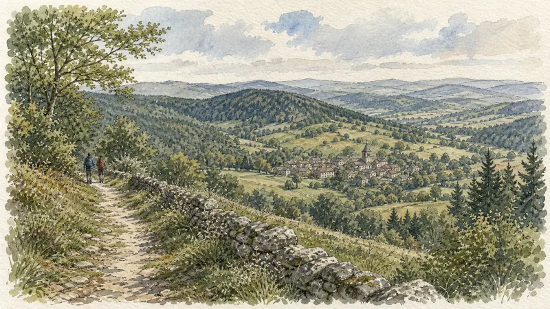
Des Hautes-Chaumes au Livradois (circuit route n°8)
Discover this trail through the heart of Livradois-Forez.
Des Margerides au Grun de Chignore (circuit route n°7)
Discover this trail through the heart of Livradois-Forez.
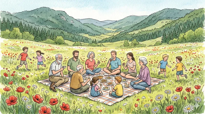
From Vollore to the Lake
Start: Place de la Conche. Pass the town hall and descend to the D7. Cross the departmental road and, just after the garage, turn left towards Le Fraisse (view of Grün de Chignore straight ahead). In the hamlet, turn right, then take a track between 2 houses on the left. Continue straight ahead to the surfaced road. The track descends and then climbs to a surfaced road. Immediately take the track descending to the left as far as the D45. Follow it to the left for 250m, then turn onto the first track on the left. At the following junctions, continue climbing on the main track to the village of Montmiot. 1. Cross Montmiot on the road to the left and continue to the T-junction. Take the track straight ahead and stay on the main track to the surfaced road. Follow it to the right. At the hairpin bend, follow the road climbing slightly to the left to Fontcuberte. Cross the village and, by the last house, take the track climbing to the left. At the junction, turn right, then 10 m further on take the earth track on the left to the road (view of the Forez ridges). Follow the road to the right to the D 313 (views of the Chaîne des Puys, Sancy and Monts du Forez). Cross it and continue straight ahead to the hamlet of Le Besset de la Pause. Cross the village. 2. On leaving, take the earth track to the left of the wrought-iron cross (view of the Chaîne des Puys on the right) and descend to the hamlet of La Félolie (view of Lac d’Aubusson-d’Auvergne). Cross the hamlet, then at the fork descend the road to the left as far as Le Bost. At the bottom of the road, by a house, take the sunken track to reach the church in Aubusson-d’Auvergne. Pass alongside the church, then enter the village. Pass beneath the gateway and descend to the left of the fountain. Continue slightly right between two houses; pass alongside the sawmill. Climb the 1st surfaced road on the right. Follow the D41 to the right, then immediately turn left onto the first track behind the town hall. At the next junction, turn left. 3. 100 m further on, turn right and cross the hamlet of La Chosserie. After 350 m, on leaving a left-hand bend, climb the path on the right. At the top, take the track on the left to the hamlet of Puymillier. Cross the hamlet (large mulberry tree). On leaving, 100 m after the last house, take the path on the right. Descend to a broader track. Follow it to the left and continue straight ahead to the D45. Cross it and branch onto the second vehicle track on the right. Stay on this track to the D7. 4. Follow it to the right before crossing the D45 to take the surfaced road straight ahead (no-entry direction). Turn left onto the first track and continue straight ahead to the hamlet of Rongeron. At the junction, head towards Vollore-Ville, then 150 m further on take the surfaced road descending to the left towards the hamlet of Barbat. Cross it. 150 metres further on, climb the surfaced track on the right. Pass below Château de Vollore and, 200 metres further on, turn right onto the earth track and climb to Place de la Conche.
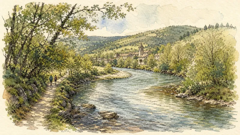
Du col de la Loge au col du Béal (circuit route n°6)
Discover this trail through the heart of Livradois-Forez.
Explore Nearby
Complement your visit to Vollore-Ville by exploring these neighboring villages.
Augerolles
A journey into the origins of Roman nobility and the architectural layering of the Livradois-Forez, where ruined fortresses and timber-wealthy châteaux tell a tale of ascent and revolution.
Courpière
A river-hugging town where Roman pottery kilns and Cluniac priories meet the childhood echoes of Coco Chanel.
Escoutoux
A high-altitude sentinel of the Forez where ancient ruins and literary legacies overlook a landscape defined by the historical art of vigilance.
Sainte-Agathe
An elevated sanctuary of dense woodland and medieval stone, offering sweeping vistas from the rugged heights of the Livradois-Forez.
Vollore-Montagne
A high-altitude sanctuary on the western spine of the Monts du Forez, where granite monoliths and 14th-century boundary stones tell of medieval lineages and geological wonders.


