
Illustration in progress
The ascent to Sainte-Agathe reveals a landscape defined by verticality and the pervasive scent of resin. Reaching an elevation of over a thousand meters, the territory is dominated by a dense canopy that covers nearly three-quarters of the land, where ancient stands of timber yield to the erratic rhythms of the mountain climate. The air here carries a distinct crispness, a testament to its position on the rugged margins of the Massif Central. As you navigate the winding approaches, the scattered hamlets appear as weathered stone outposts against a backdrop of deep green, offering a quietude that feels preserved from a different century.
At the heart of this elevated terrain sits the Château de Vaulx, a sentinel of twelfth-century provenance that anchors the local history. Its stone walls speak of a medieval heritage that survived the transition from the oversight of Vollore-Ville to independent status in the late nineteenth century. Surrounding the fortifications, the arboretum provides a curated encounter with botanical diversity, where the deliberate arrangement of rare species contrasts with the wild, sprawling forests beyond. This site provides an opportunity for a reflective stroll through time, where the noble lines of the architecture meet the silent growth of century-old trees, overlooking the distant Durolle valley.
The spiritual and social life of the village centers on the Church of Saint-Pierre, an edifice that commands the skyline with an authoritative presence. From its elevated porch, one can trace the descent of the land toward Thiers, observing the interplay of light and shadow across the undulating topography. There is a stubborn, independent streak to this soil, once evidenced by the satirical “Groin de Chignore” journal that circulated among the few residents who call these slopes home. Before returning to your gîte, linger in the silence of the square to appreciate the legacy of figures like Pierre Bourgade, who carried the spirit of these Auvergne heights to the desert cathedrals of the New World.
Local profile
At a Glance
- Population
- 171
- Demonym
- —
- Altitude
- 439–1091 m
- Forest
- 69%
residents
local residents
lowest to highest
commune coverage
Did You Know?
“Pierre Bourgade, a native of the local hamlet La Bonnetias, traveled from these remote slopes to the American Southwest, where he became the Archbishop of Santa Fe in 1899.”
Cultural Heritage
A quiet village with authentic Auvergne charm.
Recent Wildlife & Flora Log
Nature observations recorded within 5km of Sainte-Agathe.
Common Foxglove
Broom Fork-moss
Mouse-ear Hawkweed
Jelly Ear
Verbascum lychnitis L.
Common Valerian
Early-Purple Orchid
Stag Beetle
Comma
Blackcap
Trails around Sainte-Agathe
Discover physical challenges and natural beauty in the immediate vicinity.
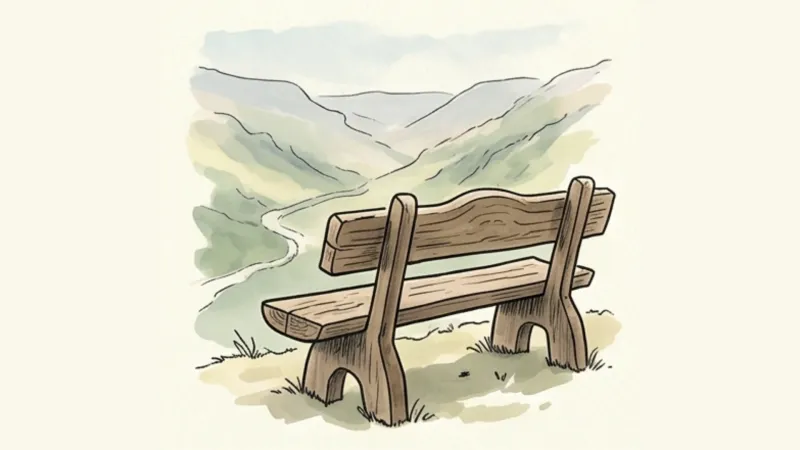
Des Margerides au Grun de Chignore (circuit route n°7)
Discover this trail through the heart of Livradois-Forez.
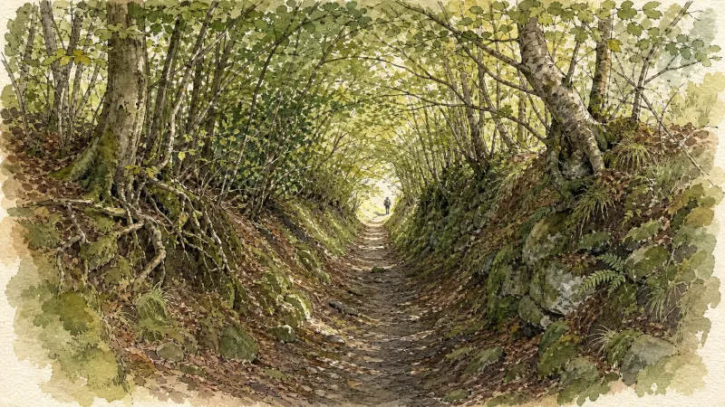
GR®89 Le Chemin de Montaigne
Discover this trail through the heart of Livradois-Forez.
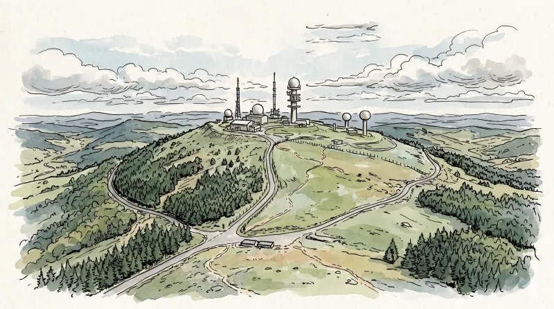
The Olmes cross (circuit n°43)
Discover this trail through the heart of Livradois-Forez.
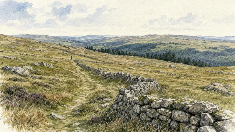
La pierre Pamole (circuit n°38)
Discover this trail through the heart of Livradois-Forez.
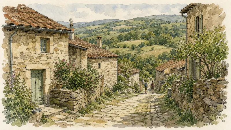
La Virée des Rocs (Roc Blanc–Rochemulet)
Discover the final remarkable viewpoints of La Virée, from Roc Aiguille to Rambaud via Rochemulet: a finale that makes you wish the route would continue.
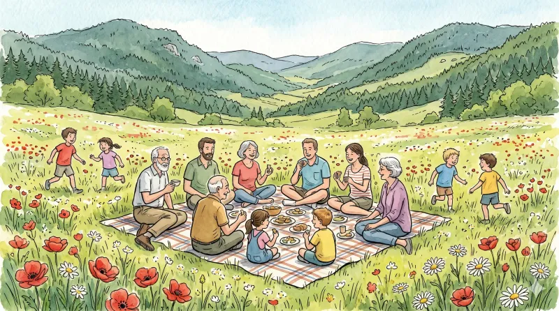
La Virée des Rocs (Full Circuit)
Start: From the esplanade below Viscomtat, follow the D42 to the left. At the junction, continue opposite towards Grimond. Pass the fire station and cemetery. At the fork, remain on the road to the right. The road becomes a track. At the crossroads of 4 tracks, continue along the track opposite. 10 m before the paved road, turn onto the track on the right. 1. Continue along the track to Les Lignières Vieilles. Pass to the right of a building and take the first track on the right. 10 m farther on, at the fork, take the track on the left. Remain on this main track to the D42. Cross it and follow it to the left for 150 m before taking a small path descending to the right. At the end of the path, turn onto the track on the left and climb the steps onto the bridge. 2. Turn right onto the D322 and cross the village of Cornillon. 50 m after the last house, take the track climbing left to the paved road. Follow the road opposite for 50 m, then turn onto the track climbing to the left. At the crossroads of 4 tracks, continue along the track opposite to the village of Boulay. 3. Beside the first houses, take the track on the left and remain on the main track to the paved road (view of the Bois Noirs and the village of Celles-sur-Durolle). Follow it to the right for 50 m, then turn onto the track on the left. Continue along the forest track to a parking area at a crossroads of 4 tracks. 4. Take the track on the right and, 50 m farther on, climb the first track on the right. Follow the main track to the crossroads of 4 tracks. Continue opposite to Roc du Guet (view of the Bois Noirs and the Chaîne des Puys). Continue along the main track as it descends. At the T-junction, continue descending on the track to the right until you reach the paved road. Follow it left to Col des Sagnes. At the col, cross the D86 and continue along the climbing track opposite. 5. At the fork, descend the track on the left and remain on the main track to the Maison du Trésor junction. Then take the 2nd track climbing on the right. At the crossroads of 4 tracks, continue climbing opposite to the cross marking an aircraft crash. Continue along the track opposite to another crossroads of 4 tracks. At the junction, begin the descent by continuing straight ahead and remain on the main track to the Croix du Gât junction. 6. Then take the track branching right to the paved road in the village of Vachon. Take the track on the right to reach the D101. 7. Follow it straight ahead to cross the bridge. Then follow the first paved road climbing left to the village of La Forêt. On leaving the village, take the track on the left, then after a few metres turn onto the path climbing right through the woods. Remain on the main path until you reach a forest track. 8. Follow it left for 20 m and, at the junction, take the track on the left leading to the fine little village of Seychal. Cross the village, keeping to the track on the right (warning: close the gates securely). Continue along this track until you reach a forest track. Cross it and take the path climbing opposite, which emerges again on the forest track. 9. Follow it to the right for 15 m, then turn onto the path on the left through the plantation. Remain on this path to Cheix Blanc (a short out-and-back to the left leads to the scree for a view of the Bois Noirs, the Chaîne des Puys and Mont Blanc). Continue along the main path as it descends through a plantation to the second rocky outcrop, Cheix Petit (an out-and-back to the right leads to the scree with a cross and a view of the Bois Noirs and Noirétable). The path continues descending to the left until it reaches a track. 10. Follow this track to the left for 20 m to the fork. Continue straight ahead to the forest track. Follow it to the right and remain on the main track to the Pierre Pamole car park. Then turn onto the track on the right climbing to the summit of Pierre Pamole (viewpoint indicators with views of Pierre-sur-Haute, the Sancy massif, the Chaîne des Puys, the Bois Noirs, the Monts du Livradois, Lac d’Aubusson and Mont Blanc). 11. At the summit, take the path descending after the second interpretation panel, which meets a track lower down. Take the track on the right and remain on the main track until you reach Col du Pertuis. 12. Cross the D42 and take the paved road opposite. At the fork, take the road on the left and cross the village of Les Raillères. On leaving the village, take the path climbing to the right. At the crossroads of 4 tracks, continue opposite to reach the forest track. 13. Follow it to the left. At the first junction, turn right. At the next fork, remain on the tracks to the right to climb to Roc Blanc. Continue along the main track (an out-and-back to a viewpoint on the right offers views of the Chaîne des Puys, the Sancy massif, the Bois Noirs and Mont Blanc), then turn onto a path descending left along the edge of the Ayguebonne state forest. Cross the end of a track and continue descending opposite along a path until you meet a bend in the forest track. 14. On the bend, take the track branching right (view of the Chaîne des Puys and the Sancy massif). At the T-junction, take the track on the left to the forest track and follow it to the right. Then climb the first track on the right. Continue straight ahead along the main path (view of the Chaîne des Puys, the Sancy massif and the Bois Noirs) to a fork. Take the path branching left into the beech forest and remain on this main path until you reach the paved road. 15. Follow the forest track opposite for 1.5 km. At the junction of 3 tracks, leave the track on the left and take the driveable track opposite. At a right-hand bend, take the track straight ahead. At the next junction, continue straight ahead, passing to the right of the drinking-water reservoir, and remain on the main track to the D102, which you follow to the left. 16. On the road bend, turn onto a track descending right between fields. At the D321, take the paved road to the right towards Rambaud. Beside the house, the road becomes a track and descends until it meets the D321 again. Cross it and continue along the main track to the Glay football ground. Pass alongside the pitch and take the track between the houses of Glay. Continue along this track to the village of Le Cheix, which you cross uphill on the paved road. 17. On leaving the village of Le Cheix, take the track on the left. Remain on it to the road and follow the road to the right. At the junction of several roads, head left towards the village of Grimond. Then turn onto the first road on the right. At the next junction, keep right to pass the Viscomtat fire station. At the junction in the village centre, take the D42 opposite to return to the car park below.
Explore Nearby
Complement your visit to Sainte-Agathe by exploring these neighboring villages.
Celles-sur-Durolle
A high-altitude sanctuary where the rugged industrial heritage of the Durolle valley meets the silent, dense forests of the Forez mountains.
Escoutoux
A high-altitude sentinel of the Forez where ancient ruins and literary legacies overlook a landscape defined by the historical art of vigilance.
Viscomtat
A high-altitude sanctuary of dense conifer forests and ancient apicultural traditions where history lingers in the shadow of the Forez peaks.
Vollore-Montagne
A high-altitude sanctuary on the western spine of the Monts du Forez, where granite monoliths and 14th-century boundary stones tell of medieval lineages and geological wonders.
Vollore-Ville
A high-altitude sanctuary where Merovingian legends and medieval stone intersect against a backdrop of dense forest and revolutionary history.


