
Illustration in progress
Celles-sur-Durolle commands a staggering verticality, ascending from the churning waters of the Durolle river to the silent peaks of the Forez at nearly 1,300 meters. The landscape is a study in deep greens and slate greys, where the ancient granite of the Massif Central is veiled by a dense canopy of timber covering more than half the territory. To traverse this altitude is to feel the weight of the forest’s humidity and the sharp, clean air of the mountain margins. The village center, redefined in the early 20th century to assert its riverine identity, serves as a quiet witness to the transition from the industrial clatter of the valley to the high, lonely pastures of Les Hommades.
Within the village’s religious sanctuary, the air carries the cool scent of old stone and ancient wax. The local church preserves a significant artistic treasure: a mid-19th-century depiction of Saint Anne and the Virgin Mary, a work classified for its historical value and delicate composition. This canvas provides a soft counterpoint to the ruggedness of the outdoor terrain, offering a moment of quietude amid the village’s storied past. Nearby, the 1920 war memorial stands as a stern, granite reminder of the community’s endurance through the early 20th century, its sharp lines mirroring the stoic resolve required to thrive in this demanding high-altitude climate.
The heavy stillness of these heights once drew the painter Georges Bouche, who found in the local light and the coarse texture of the Auvergne earth the inspiration for his final works. Exploration beyond the main square leads to a mosaic of hamlets like Cornillon and Chapelat, where the rhythm of life remains tethered to the movement of the Durolle and its tributaries. These scattered settlements reveal the true character of the Forez: a collection of agrarian traditions and untamed woodland where the granite walls of farmsteads blend seamlessly into the natural outcroppings of the mountain. It is a destination defined by its verticality and the enduring presence of the forest, inviting a contemplative pace.
Local profile
At a Glance
- Population
- 1,627
- Demonym
- Cellois
- Altitude
- 535–1287 m
- Forest
- 56%
residents
local residents
lowest to highest
commune coverage
Did You Know?
“In 1928, the town formally added "sur-Durolle" to its name specifically to differentiate itself from the nearby commune of Gelles, anchoring its identity to the river.”
Cultural Heritage
A quiet village with authentic Auvergne charm.
Recent Wildlife & Flora Log
Nature observations recorded within 5km of Celles-sur-Durolle.
Horned delphacid
Jelly Ear
Hairy Yellow-Vetch
Common Sheep Sorrel
Early-Purple Orchid
Ash-black Slug
Fox Moth
Black Redstart
Rufous Grasshopper
Sharp-Angled Carpet
Trails around Celles-sur-Durolle
Discover physical challenges and natural beauty in the immediate vicinity.
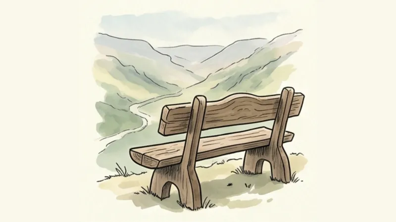
Des Margerides au Grun de Chignore (circuit route n°7)
Discover this trail through the heart of Livradois-Forez.

GR®3 — The Forez Mountains
The GR®3 is a legendary long-distance trail following the Loire, one of Europe’s last wild rivers, for 1,200 km. It begins at the river’s source on Mont Gerbier de Jonc and continues to its estuary near Guérande. The section across the Forez mountains unfolds through a succession of striking panoramas, peat bogs, moorland, winding rivers and vast open spaces.
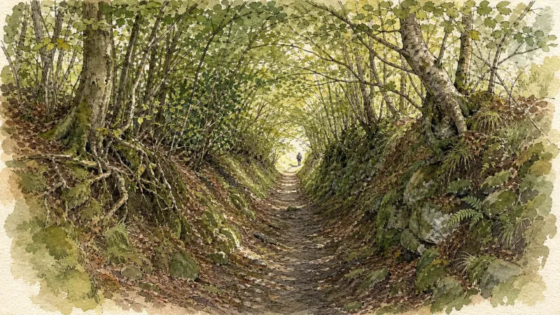
GR®89 Le Chemin de Montaigne
Discover this trail through the heart of Livradois-Forez.
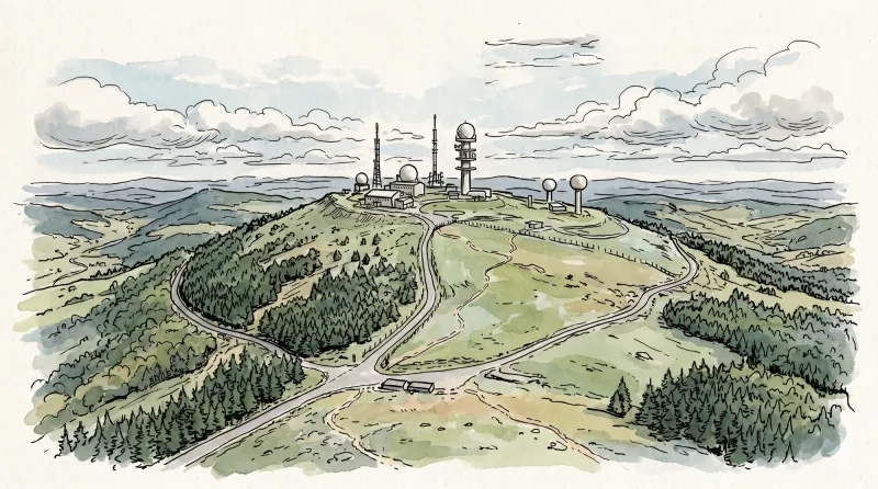
The Olmes cross (circuit n°43)
Discover this trail through the heart of Livradois-Forez.
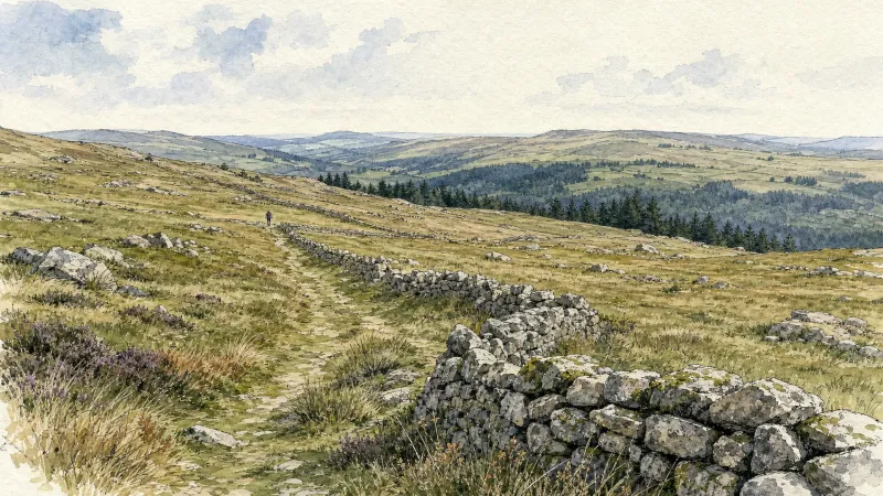
The Big Wheel
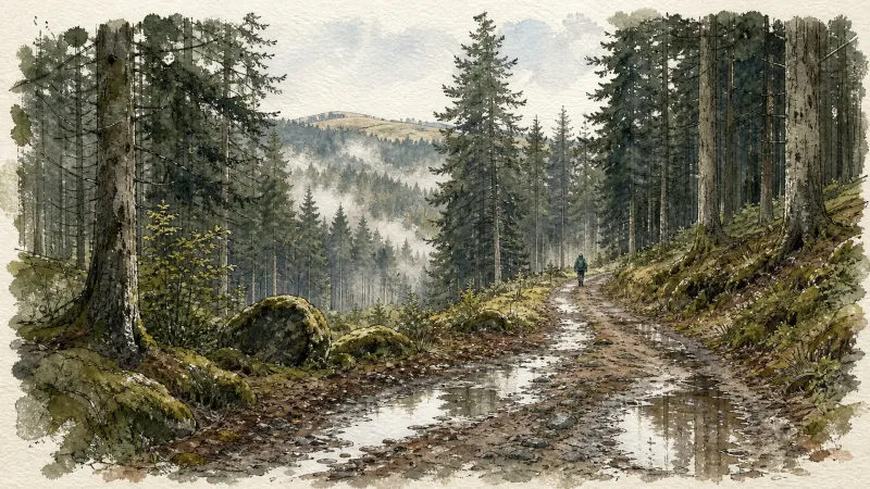
Departure: From the car park, turn right, cross the bridge over the Durolle, go up the road on the left and, after the barrier guard's house, take the path which goes up immediately to the left (contrast between the forest atmosphere, the workshops and the factories; view of La Monnerie, St-Rémy, Palladuc). 1. Cross the hamlet of Luc (in Luc, view of Montoncel, Puy Snidre) then, at the crow's feet, turn right. 2. After the water tower, at a crossroads, take the path which continues straight ahead. At the top of the hill, at another crossroads, keep the path on the left. Leave a path going down to the right. 3. At the road, turn right, then at the next crossroads turn right again (view of the Durolle and near the Vallée des Rouets on the left, view overlooking the Chêne rond mill, the fault on which the town of Thiers is located). 4. Cross the Suchet to reach the start.
La Jalonne
Departure: From the car park at the entrance to the hamlet of Chanier, go up towards the hamlet then, at the intersection, follow the small road on the right which goes up into the hamlet (direction Chanier). On the square with the fountain, go up opposite along the old school. Continue to the last house. 1. Then take the path going up to the right (viewpoint over Puy-de-Dôme and the Puys chain). Continue on the same path (viewpoint over the Sancy massif and the Puys chain) until Pradel. 2. In the village, follow the road opposite. Continue on the road (viewpoint over the Sancy and the Puys chain) and reach the hamlet of Trois Lindes. After the last house, turn right and, 10 m later, leave the road to take the path on the right. Always keep the same path until Fauvelles. 3. Cross the hamlet and, at the exit, leave the road on the left and follow the path slightly to the right. At the intersection, continue straight on until Moulin Jalonne. 4. At the house, take the stony path which goes up to the right. 20 m further, follow the path slightly to the left. Keep this beautiful trail for 1.6 km. 5. When the track makes a good left turn, take the path opposite to Chanier. Then go down into the village then reach the starting point by the same road as on the way out.
Explore Nearby
Complement your visit to Celles-sur-Durolle by exploring these neighboring villages.
Arconsat
A high-altitude sanctuary in the Bois Noirs, offering a rare encounter with Francoprovençal culture and legendary culinary traditions.
Chabreloche
A high-altitude threshold where the granite of the Puy-de-Dôme meets the Loire, defined by dense forest canopies and a rare convergence of ancient regional dialects.
Escoutoux
A high-altitude sentinel of the Forez where ancient ruins and literary legacies overlook a landscape defined by the historical art of vigilance.
La Monnerie-le-Montel
An industrial landscape where the Durolle river powers a legacy of master cutlery and steelwork within the rugged Monts du Forez.
Palladuc
A high-altitude sanctuary where the dense forests of the Puy de Montoncel meet the reflective stillness of the Muratte reservoir.
Sainte-Agathe
An elevated sanctuary of dense woodland and medieval stone, offering sweeping vistas from the rugged heights of the Livradois-Forez.
Thiers
A vertical journey through France's blade-making capital, where medieval timber-frames hang over dramatic industrial gorges carved by the Durolle.
Viscomtat
A high-altitude sanctuary of dense conifer forests and ancient apicultural traditions where history lingers in the shadow of the Forez peaks.


