
Elevation Profile
650–764 m
Departure: From the car park at the entrance to the hamlet of Chanier, go up towards the hamlet then, at the intersection, follow the small road on the right which goes up into the hamlet (direction Chanier). On the square with the fountain, go up opposite along the old school. Continue to the last house.
1. Then take the path going up to the right (viewpoint over Puy-de-Dôme and the Puys chain). Continue on the same path (viewpoint over the Sancy massif and the Puys chain) until Pradel.
2. In the village, follow the road opposite. Continue on the road (viewpoint over the Sancy and the Puys chain) and reach the hamlet of Trois Lindes. After the last house, turn right and, 10 m later, leave the road to take the path on the right. Always keep the same path until Fauvelles.
3. Cross the hamlet and, at the exit, leave the road on the left and follow the path slightly to the right. At the intersection, continue straight on until Moulin Jalonne.
4. At the house, take the stony path which goes up to the right. 20 m further, follow the path slightly to the left. Keep this beautiful trail for 1.6 km.
5. When the track makes a good left turn, take the path opposite to Chanier. Then go down into the village then reach the starting point by the same road as on the way out.
At a Glance
- Duration
- 1.8hrs
- Distance
- 7.7km
- Elevation +
- +183 m
- Elevation -
- -183 m
At a Glance
Live Weather
Departure / Arrival · Celles-sur-Durolle
Live conditions
—
Feels like
—
Wind / gusts
—
Visibility
—
Updated: —
Field notes and images
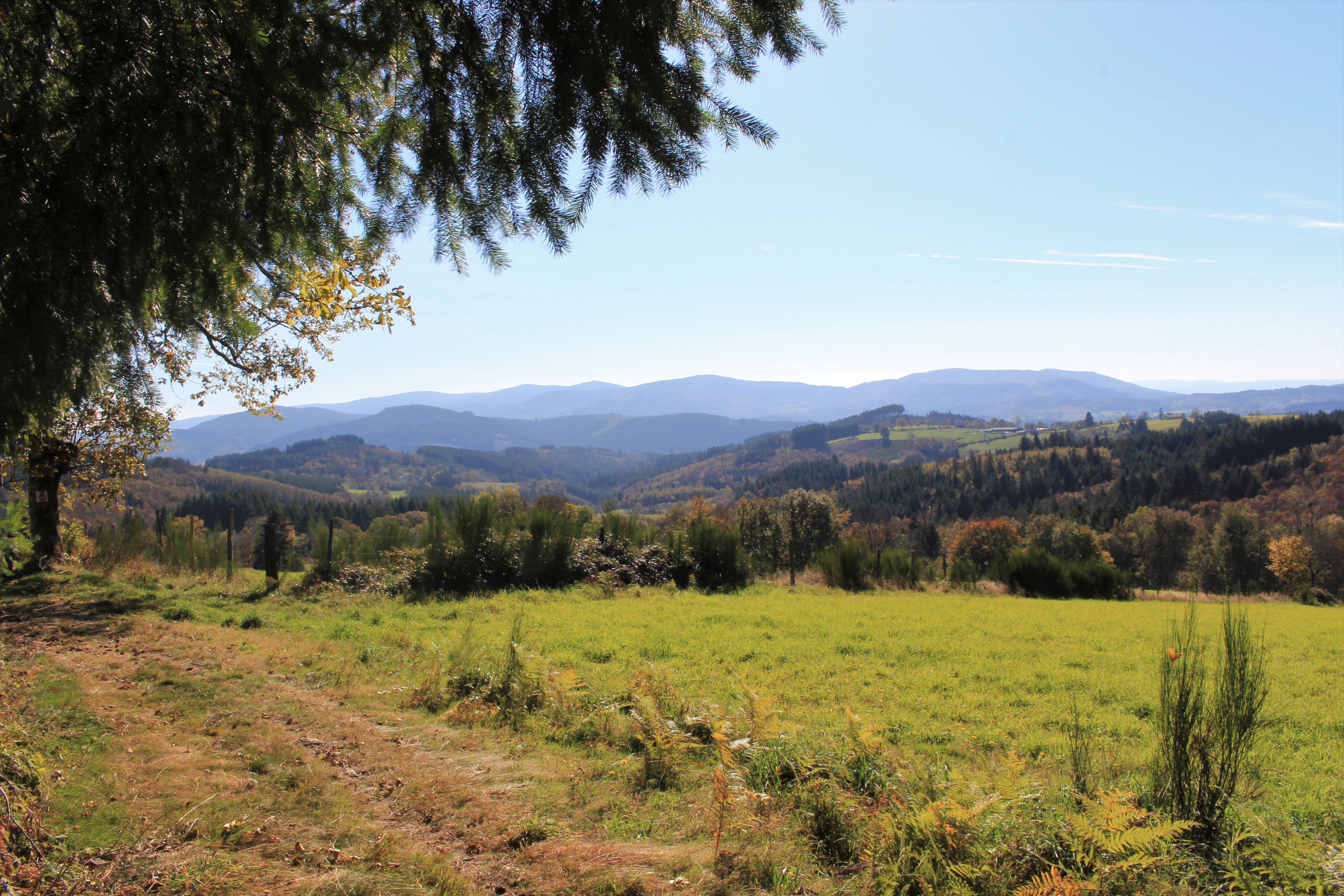
Point de vue
Captured by Maison du Tourisme Sébastien Giraud
Explore Nearby
Des Margerides au Grun de Chignore (circuit route n°7)
Discover this trail through the heart of Livradois-Forez.

GR®3 — The Forez Mountains
The GR®3 is a legendary long-distance trail following the Loire, one of Europe’s last wild rivers, for 1,200 km. It begins at the river’s source on Mont Gerbier de Jonc and continues to its estuary near Guérande. The section across the Forez mountains unfolds through a succession of striking panoramas, peat bogs, moorland, winding rivers and vast open spaces.
GR®89 Le Chemin de Montaigne
Discover this trail through the heart of Livradois-Forez.