
Illustration in progress
The ascent toward Chabreloche reveals a landscape dominated by the verticality of the Forez mountains, where the air grows noticeably sharper as one approaches the 913-meter peaks. This territory, which only achieved its administrative independence from Arconsat in 1876, functions as a high-altitude frontier between the Puy-de-Dôme and the Loire. The geology here is felt in the weight of the stone and the density of the woods, with over half the commune blanketed in a thick mantle of coniferous and deciduous forest. In the hamlet of Montsuchet, the highest inhabited point in the sector, the rhythm of life remains tethered to the pastoral cycle of Montbéliarde and Charolais cattle, silhouetted against a backdrop of sweeping ridgelines and a meticulously restored communal well that serves as a silent witness to centuries of mountain resilience.
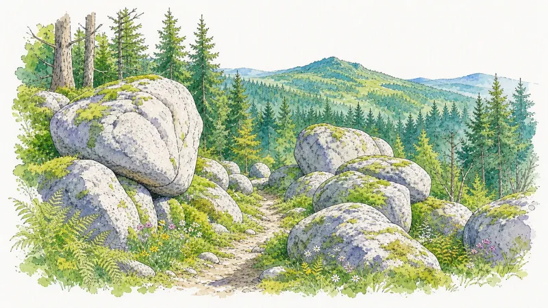
Cultural life in these heights has long been shaped by a unique linguistic duality, acting as a bridge between the Occitan and Arpitan worlds. This heritage is perhaps best personified by the 19th-century priest and poet Jacques Jarsaillon, whose verses in the local tongue captured the rugged soul of the Auvergne. Visitors wandering through the village center will encounter a somber, stoic atmosphere where the architecture reflects the necessity of enduring harsh winters. The local granite, mottled with lichen, provides a tactile connection to the literary and spiritual history of the Chabrelochois, a people whose identity was forged at the intersection of religious devotion and the demanding labor of the surrounding woods.
Modernity makes an arresting appearance on the horizon with “La Colonne brisée,” a monumental piece of motorway art that stands as a stark, geometric contrast to the organic sprawl of the Livradois-Forez. This shattered pillar, partially collapsed by design, evokes a sense of classical ruin amidst the contemporary infrastructure of the A89, inviting a meditative pause on the passage of time and the permanence of stone. Whether observing the play of light on this fallen monument or watching the mist descend through the pines of the Durolle valley, one finds in Chabreloche a destination defined by its elevation and its refusal to yield its quiet, mountainous gravitas to the hurried pace of the lowlands.
Local profile
At a Glance
- Population
- 1,156
- Demonym
- Chabrelochois
- Altitude
- 597–913 m
- Forest
- 56.9%
residents
local residents
lowest to highest
commune coverage
Did You Know?
“Chabreloche sits at a rare linguistic crossroads where both the Auvergnat dialect and Francoprovençal (Arpitan) have historically been spoken.”
Cultural Heritage
A quiet village with authentic Auvergne charm.
Recent Wildlife & Flora Log
Nature observations recorded within 5km of Chabreloche.
Aligot comú
Two-coloured Daffodil
European Red Elder
Stag Beetle
Comma
Fox Moth
Common verbena
Common Plume
Rhopalus subrufus (Gmelin, 1790)
Cudweed
Trails around Chabreloche
Discover physical challenges and natural beauty in the immediate vicinity.

GR®3 — The Forez Mountains
The GR®3 is a legendary long-distance trail following the Loire, one of Europe’s last wild rivers, for 1,200 km. It begins at the river’s source on Mont Gerbier de Jonc and continues to its estuary near Guérande. The section across the Forez mountains unfolds through a succession of striking panoramas, peat bogs, moorland, winding rivers and vast open spaces.
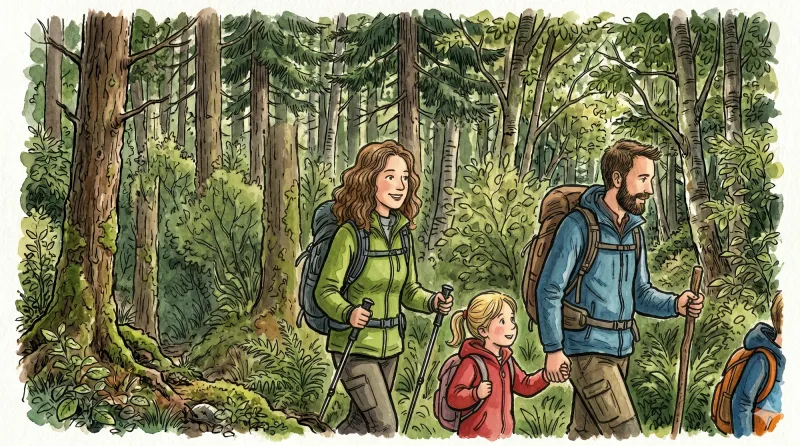
The treasure house (circuit no. 41)
Discover this trail through the heart of Livradois-Forez.
La Virée des Rocs (Roc du Guet)
At the edge of Viscomtat, from the Cité de l’Abeille past Domaine de la Planche to Roc du Guet, discover the first panoramas of La Virée des Rocs.
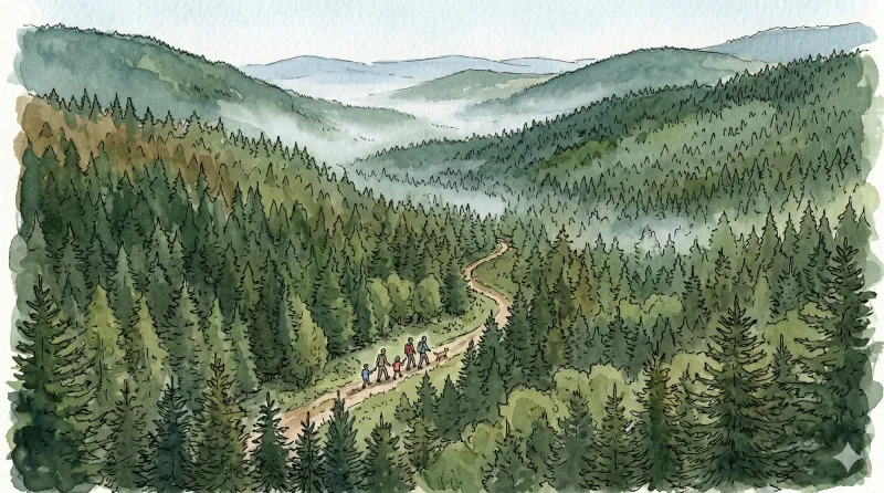
La Virée des Rocs (Rocher de Pierre Beille)
Discover the Maison du Trésor and nearby royal boundary stones beside the path. Continue to Pierre Beille, a place marked by the sad memory of an air disaster, then return beside a hydroelectric dam.
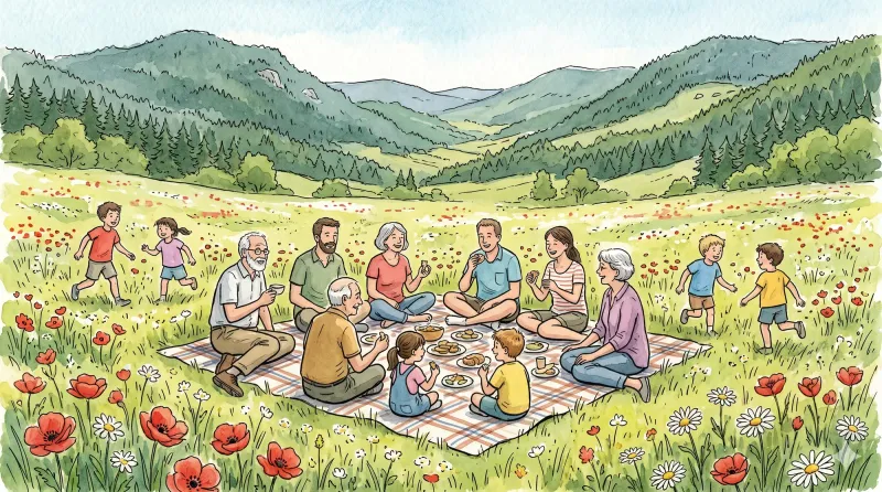
La Virée des Rocs (Full Circuit)
Start: From the esplanade below Viscomtat, follow the D42 to the left. At the junction, continue opposite towards Grimond. Pass the fire station and cemetery. At the fork, remain on the road to the right. The road becomes a track. At the crossroads of 4 tracks, continue along the track opposite. 10 m before the paved road, turn onto the track on the right. 1. Continue along the track to Les Lignières Vieilles. Pass to the right of a building and take the first track on the right. 10 m farther on, at the fork, take the track on the left. Remain on this main track to the D42. Cross it and follow it to the left for 150 m before taking a small path descending to the right. At the end of the path, turn onto the track on the left and climb the steps onto the bridge. 2. Turn right onto the D322 and cross the village of Cornillon. 50 m after the last house, take the track climbing left to the paved road. Follow the road opposite for 50 m, then turn onto the track climbing to the left. At the crossroads of 4 tracks, continue along the track opposite to the village of Boulay. 3. Beside the first houses, take the track on the left and remain on the main track to the paved road (view of the Bois Noirs and the village of Celles-sur-Durolle). Follow it to the right for 50 m, then turn onto the track on the left. Continue along the forest track to a parking area at a crossroads of 4 tracks. 4. Take the track on the right and, 50 m farther on, climb the first track on the right. Follow the main track to the crossroads of 4 tracks. Continue opposite to Roc du Guet (view of the Bois Noirs and the Chaîne des Puys). Continue along the main track as it descends. At the T-junction, continue descending on the track to the right until you reach the paved road. Follow it left to Col des Sagnes. At the col, cross the D86 and continue along the climbing track opposite. 5. At the fork, descend the track on the left and remain on the main track to the Maison du Trésor junction. Then take the 2nd track climbing on the right. At the crossroads of 4 tracks, continue climbing opposite to the cross marking an aircraft crash. Continue along the track opposite to another crossroads of 4 tracks. At the junction, begin the descent by continuing straight ahead and remain on the main track to the Croix du Gât junction. 6. Then take the track branching right to the paved road in the village of Vachon. Take the track on the right to reach the D101. 7. Follow it straight ahead to cross the bridge. Then follow the first paved road climbing left to the village of La Forêt. On leaving the village, take the track on the left, then after a few metres turn onto the path climbing right through the woods. Remain on the main path until you reach a forest track. 8. Follow it left for 20 m and, at the junction, take the track on the left leading to the fine little village of Seychal. Cross the village, keeping to the track on the right (warning: close the gates securely). Continue along this track until you reach a forest track. Cross it and take the path climbing opposite, which emerges again on the forest track. 9. Follow it to the right for 15 m, then turn onto the path on the left through the plantation. Remain on this path to Cheix Blanc (a short out-and-back to the left leads to the scree for a view of the Bois Noirs, the Chaîne des Puys and Mont Blanc). Continue along the main path as it descends through a plantation to the second rocky outcrop, Cheix Petit (an out-and-back to the right leads to the scree with a cross and a view of the Bois Noirs and Noirétable). The path continues descending to the left until it reaches a track. 10. Follow this track to the left for 20 m to the fork. Continue straight ahead to the forest track. Follow it to the right and remain on the main track to the Pierre Pamole car park. Then turn onto the track on the right climbing to the summit of Pierre Pamole (viewpoint indicators with views of Pierre-sur-Haute, the Sancy massif, the Chaîne des Puys, the Bois Noirs, the Monts du Livradois, Lac d’Aubusson and Mont Blanc). 11. At the summit, take the path descending after the second interpretation panel, which meets a track lower down. Take the track on the right and remain on the main track until you reach Col du Pertuis. 12. Cross the D42 and take the paved road opposite. At the fork, take the road on the left and cross the village of Les Raillères. On leaving the village, take the path climbing to the right. At the crossroads of 4 tracks, continue opposite to reach the forest track. 13. Follow it to the left. At the first junction, turn right. At the next fork, remain on the tracks to the right to climb to Roc Blanc. Continue along the main track (an out-and-back to a viewpoint on the right offers views of the Chaîne des Puys, the Sancy massif, the Bois Noirs and Mont Blanc), then turn onto a path descending left along the edge of the Ayguebonne state forest. Cross the end of a track and continue descending opposite along a path until you meet a bend in the forest track. 14. On the bend, take the track branching right (view of the Chaîne des Puys and the Sancy massif). At the T-junction, take the track on the left to the forest track and follow it to the right. Then climb the first track on the right. Continue straight ahead along the main path (view of the Chaîne des Puys, the Sancy massif and the Bois Noirs) to a fork. Take the path branching left into the beech forest and remain on this main path until you reach the paved road. 15. Follow the forest track opposite for 1.5 km. At the junction of 3 tracks, leave the track on the left and take the driveable track opposite. At a right-hand bend, take the track straight ahead. At the next junction, continue straight ahead, passing to the right of the drinking-water reservoir, and remain on the main track to the D102, which you follow to the left. 16. On the road bend, turn onto a track descending right between fields. At the D321, take the paved road to the right towards Rambaud. Beside the house, the road becomes a track and descends until it meets the D321 again. Cross it and continue along the main track to the Glay football ground. Pass alongside the pitch and take the track between the houses of Glay. Continue along this track to the village of Le Cheix, which you cross uphill on the paved road. 17. On leaving the village of Le Cheix, take the track on the left. Remain on it to the road and follow the road to the right. At the junction of several roads, head left towards the village of Grimond. Then turn onto the first road on the right. At the next junction, keep right to pass the Viscomtat fire station. At the junction in the village centre, take the D42 opposite to return to the car park below.
Le Cheix Blanc (circuit n°37)
Discover this trail through the heart of Livradois-Forez.
Explore Nearby
Complement your visit to Chabreloche by exploring these neighboring villages.
Arconsat
A high-altitude sanctuary in the Bois Noirs, offering a rare encounter with Francoprovençal culture and legendary culinary traditions.
Celles-sur-Durolle
A high-altitude sanctuary where the rugged industrial heritage of the Durolle valley meets the silent, dense forests of the Forez mountains.
Noirétable
A high-altitude sanctuary where ancient monastic silence meets the rugged craft of the Bois Noirs forest.
Viscomtat
A high-altitude sanctuary of dense conifer forests and ancient apicultural traditions where history lingers in the shadow of the Forez peaks.


