
Illustration in progress
The high town of Thiers is a masterclass in vertical urbanism, where granite foundations and timber-framed upper stories lean precariously over streets with gradients reaching a staggering fifty-one percent. This upper district, known to its inhabitants as the “Bitord” city, is anchored by the Château du Pirou, a 15th-century marvel of Bourbonnais architecture featuring sharp gables and intricate wooden galleries. Walking these inclines reveals the Maison de l’Homme des Bois, where the façade is haunted by a carved, pelt-clad figure gripping a staff—a relic of alchemical symbolism that predates the city’s industrial fame. The urban fabric here is tight and rhythmic, characterized by “peddes”—covered walkways that bridge the narrow gaps between medieval houses, creating a labyrinthine atmosphere that overlooks the expansive Limagne plain and the distant, jagged silhouettes of the Puys.
A few hundred meters below, the landscape shifts into the harrowing, magnificent depths of the Vallée des Usines. Here, the Durolle river carves a savage path through granite cliffs, providing the hydraulic force that fueled six centuries of cutlery dominance. The architecture of this gorge is a stark juxtaposition of oxidized iron, moss-covered brick, and the rush of falling water. Sites like the Creux de l’Enfer, a former forge turned contemporary art center, and the Usine du May stand as skeletal monuments to a time when eighty percent of French blades were forged in these shadows. The air in the valley still feels heavy with the ghost of the “lying grinders,” artisans who famously worked prone on wooden planks above their grinding stones, their legs kept warm by the heavy bodies of mastiffs during long shifts in the freezing mist.
The spiritual and literary weight of the commune is centered upon the Église Saint-Genès, an edifice that boasts the largest Romanesque dome in Auvergne. Constructed over the site where a martyr was purportedly executed in the 6th century, the church displays a severe beauty with its polychrome stonework and vast, echoing nave. This intersection of faith and industry caught the attention of George Sand, who immortalized the town’s gritty labor in her novel “La Ville Noire,” and later provided a temporary, humble residence for a young Gabrielle “Coco” Chanel. Even the city’s heraldry reflects this unique identity: while the official coat of arms displays a silver ship on a red field—a nod to the vast river trade that carried Thiers blades to the Indies and Spain—the local soul remains tied to the tactile reality of steel, water, and the unyielding slope of the mountain.
Markets of Livradois-Forez
Market day
Time your visit to enjoy the local market.
Wednesday
Market in Thiers
Every week
Thursday
Market in Thiers
Every week
Saturday
Market in Thiers
Every week
Discoveries in Thiers
4 places from our guide are in this commune.
- Musée de la Coutellerie (Cutlery Museum)
- Vallée des Rouets (Cutlers' Valley)
- Usine du May (Contemporary Art Center)
- Creux de l'Enfer (Contemporary Art Center)
Local profile
At a Glance
- Population
- 11,637
- Demonym
- Thiernois (or Bitords)
- Altitude
- 283–793 m
- Forest
- 38.2%
residents
local residents
lowest to highest
commune coverage
Did You Know?
“Artisans known as "émouleurs couchés" spent their days grinding blades while lying face-down over their wheels, using large dogs resting on their legs to provide warmth in the damp, riverside workshops.”
Cultural Heritage
Protected historic monuments in Thiers
Usine du May
Thiers
Monument aux morts
square des Grammonts
Château des Champs
Thiers
Eglise Saint-Jean
Thiers
Maison
4 rue Conchette
Maison
12 rue du Bourg
Maison dite des sept péchés capitaux
21 rue du Piroux
Immeuble
10 rue du Bourg
Château de Franc-Séjour
Thiers
Maison
12 rue de la Coutellerie
Hôtel Nevreze
18 rue Conchette ; rue de la Bienfaisance
Forges Mondière
Thiers
Maison dite de l'Homme des Bois
21 rue de la Coutellerie
Maison
14 rue de la Coutellerie
Maison de Lauzun
rue Grenette ; rue des Sapeurs-Pompiers
Ancienne chapelle de la Clôtra
Thiers
Pont de Moutier ou du Navire
Thiers
Ancien hôtel du Charriol, dit château ou maison du Piroux
place du Pirou
Maison dite Maison des Consuls
58 rue de la Coutellerie ; 4 place Lafayette ; 17 rue du Palais ; 5 impasse Coutellerie
Maison d'angle à pans de bois
19 rue de la Coutellerie
Pont de Seychalles
Thiers
Château de la Chassaigne
Thiers
Château des Horts
Thiers
Abbaye du Moutier
Thiers
Eglise Saint-Genès
Thiers
Recent Wildlife & Flora Log
Nature observations recorded within 5km of Thiers.
Bucaneve
Horned delphacid
Mouse-ear Hawkweed
Jelly Ear
Verbascum lychnitis L.
Winter Heath
English thyme
Bellis annua L.
Coliseum-ivy
Two-coloured Daffodil
Trails around Thiers
Discover physical challenges and natural beauty in the immediate vicinity.

Quatre Vents Challenge (Road Circuit No. 14)
One of the shortest circuits designed as a loop from the national cycle-touring centre, this route uses many quiet minor roads. Follow the directions carefully to avoid losing the route. Take particular care on the road after Néronde, especially when turning left off the D906.
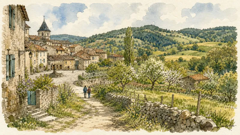
Cité Thiernoise (circuit n°49)
Discover this trail through the heart of Livradois-Forez.
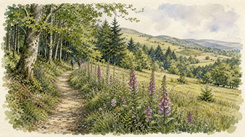
Découverte des villages
Départ : A la sortie du parking, prendre à droite l’allée du stade. En haut de la côte, à l’intersection, monter à gauche jusqu’au lieu-dit Le Calvaire (croix et table d’orientation, point de vue : Roc du Guet, Pierre Pamole, Pierre-sur-Haute, Grün de Chignore, monts du Livradois, monts du Cantal dans le lointain, chaîne des Puys, massif du Sancy, Clermont-Ferrand, au premier plan, bourg de St-Rémy). Emprunter le chemin à droite derrière les croix (bois de bouleau). A la route goudronnée, l’emprunter à droite. Au carrefour (croix de Mission dite «croix Rouge»), continuer tout droit. A la patte d’oie, rester sur le chemin montant à droite. 1 - Au croisement avec une route goudronnée, monter le sentier en face. Garder le chemin décrivant une courbe à droite puis à gauche. Au croisement, à la croix en fer forgé, continuer tout droit. A l’intersection suivante, emprunter la route goudronnée à gauche. Traverser le hameau de Barnerias (deux fontaines, ignorer les chemins partant à droite et à gauche). 200 m après le village, dans le virage, à la patte d’oie, emprunter le sentier qui monte à gauche. Au carrefour suivant (bois de chênes), prendre à gauche. Continuer en face sur le chemin qui redescend. Au carrefour suivant, tourner sur le chemin carrossable à droite. 2 - Au carrefour en bas de la descente, tourner à droite (point de vue : plaine de la Limagne, Clermont-Ferrand, le Puy de Dôme, le Sancy, le massif du Cantal, les butes volcaniques de la Comté). A la patte d’oie suivante, laisser le chemin qui descend et prendre celui le plus à droite, ignorer la sente qui part à droite. Traverser la route pour entrer dans le village de Chabrol (dans le village : bâtiments avec linteaux et jambages en granit blanc), descendre dans le village. A la maison au toit à quatre pans, descendre à droite de celle-ci. A 200 m après le hameau, au carrefour, tourner à gauche (point de vue : monts du Livradois). Passer à côté de la maison isolée du Cheix. 200m après Le Cheix, à la patte d’oie, quitter le chemin principal et descendre sur le chemin à droite. 3 - Au carrefour, laisser le chemin partant à droite et continuer toujours tout droit sur la piste principale (point de vue : massif du Sancy, Clermont- Ferrand, chaîne des Puys). A l’entrée du village de Morel suivre la route à droite (point de vue : monts de Forez, chaîne des Puys, massif du Sancy, massif du Livradois). Au carrefour, prendre la route à gauche en direction du hameau de Prudent, continuer tout droit (ignorer la route à droite). Au carrefour suivant, monter à gauche pour entrer de nouveau dans Morel (habitat traditionnel en granit). A la sortie du hameau de Morel, continuer sur la route tout droit (point de vue : Pierre Pamole, Grün de Chignore, Roc Blanc, rocher du Calvaire au-dessus du village de St-Rémy). 4 - Arrivée à la D325, la traverser et emprunter le chemin bordé de chênes. Au carrefour suivant, prendre à droite puis 50 m plus loin, à la patte d’oie, continuer sur le chemin à droite. Au croisement, prendre la route à gauche. Au carrefour, continuer tout droit. Au deuxième carrefour, à la croix, tourner à droite direction Thiers sur la D201 (passer au-dessus de l’autoroute). Après le pont, prendre à gauche. 50 m plus loin, ignorer le chemin qui monte à droite et emprunter le chemin qui longe l’autoroute, garder le chemin (laisser celui qui part à droite). Passer sous l’autoroute par un tunnel à gauche. Au bout du chemin, prendre à droite par un chemin très raide puis à la route l’emprunter à gauche. Emprunter une sente herbeuse à droite. A la route, prendre à droite, puis à gauche pour retrouve
From the Creux de l’Enfer to the Grinding Workshops
This route is a journey back through the history of cutlery and industry in Thiers.
Des Margerides au Grun de Chignore (circuit route n°7)
Discover this trail through the heart of Livradois-Forez.
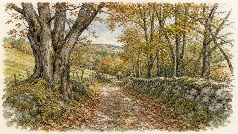
Entre Dore et Allier (circuit route n°1)
Discover this trail through the heart of Livradois-Forez.
Explore Nearby
Complement your visit to Thiers by exploring these neighboring villages.
Celles-sur-Durolle
A high-altitude sanctuary where the rugged industrial heritage of the Durolle valley meets the silent, dense forests of the Forez mountains.
Dorat
A high-plain settlement where the architectural legacy of the Barante dynasty meets a rare fortified sanctuary rising above the Dore valley.
Escoutoux
A high-altitude sentinel of the Forez where ancient ruins and literary legacies overlook a landscape defined by the historical art of vigilance.
La Monnerie-le-Montel
An industrial landscape where the Durolle river powers a legacy of master cutlery and steelwork within the rugged Monts du Forez.
Orléat
A landscape of ancient river confluences, where Romanesque frescoes and rare continental dunes meet the creative pulse of contemporary sculpture.
Paslières
A landscape of verticality and myth where the River Dore meets the dense forests of the Bois Noirs, characterized by 19th-century noble estates and ancient hagiographic legends.
Peschadoires
A riverfront destination where medieval fortifications meet the industrial echoes of a former inland port on the Dore.
Saint-Rémy-sur-Durolle
A high-altitude sanctuary of industrial precision and Gothic dignity, renowned as the global epicenter for the manufacture of corkscrew spirals.
Sainte-Agathe
An elevated sanctuary of dense woodland and medieval stone, offering sweeping vistas from the rugged heights of the Livradois-Forez.


