
Illustration in progress
The territory of Paslières unfolds along the western banks of the Dore, where the river’s rhythmic flow carves a deep path through the northern reaches of the Livradois-Forez. Ascending from the valley floor toward the 800-meter peaks of the Bois Noirs, the landscape shifts from fertile riparian stretches to a dense, emerald mantle of forest that blankets over half the commune. This verticality defines the local experience; navigating the winding departmental roads reveals a scattered constellation of over sixty hamlets, each anchored by weathered stone and timber, offering a profound sense of the region’s rural gravity and the silent, enduring presence of the Massif Central.
The architectural silhouette of the commune is dominated by the legacy of the Restoration, most notably the influence of Christophe de Chabrol de Crouzol, a former Minister of Finance under Charles X. The Château de Chabanne, reimagined in the late 19th century with its distinctive noble lines, stands as a testament to this era of political prominence, while the statesman’s solemn tomb rests near the Église Saint-Bonnet. This ecclesiastical center, with foundations reaching back to the 12th century, retains a medieval austerity despite its later reconstructions. Within its shadow, the village’s history feels less like a record and more like a physical texture, written in the cold granite of the church walls and the expansive estates that punctuate the wooded hillsides.
Folk memory persists with particular intensity at the site of the Pas-du-Loup, where a singular geological oddity evokes an ancient struggle between the sacred and the profane. Here, two stones bear the marks of a legendary duel: a depression whispered to be the paw print of a wolf-disguised Devil and the fractured remains of a stone cross. According to local lore, Saint Bonnet triumphed in a trial of strength against this beast, his broken hammer falling into the valley below to dictate the divine site for his future sanctuary. This intersection of myth and geology provides a compelling pause for an afternoon wanderer, where the silent woods seem to echo with the ancient clash of bishop’s staff and iron, an event immortalized in the silver and azure of the communal crest.
Local profile
At a Glance
- Population
- 1,491
- Demonym
- —
- Altitude
- 275–800 m
- Forest
- 54%
residents
local residents
lowest to highest
commune coverage
Did You Know?
“The communal coat of arms is a literal narrative of a duel between Saint Bonnet and the Devil, featuring a wolf, a bishop's crook, and two hammers.”
Cultural Heritage
Protected historic monuments in Paslières
Eglise paroissiale Saint-Bonnet
Paslières
Recent Wildlife & Flora Log
Nature observations recorded within 5km of Paslières.
Aligot comú
Bucaneve
Pleurosticta acetabulum (Neck.) Elix & Lumbsch
Tremella mesenterica (Schaeff.) Pers.
Common Male Fern
Birch Woodwart
Common Periwinkle
Varied Carpet Beetle
Barn Swallow
Tongue-orchid
Trails around Paslières
Discover physical challenges and natural beauty in the immediate vicinity.
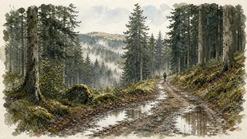
Around Noalhat
D - From the car park behind the Noalhat town hall, take the road on the left. At the T-junction, turn right onto the D44b until the intersection with the D44. Continue on the road opposite towards Paslières. In the village of “Croix des Ferrats” take the road on the left towards Lavaure. The road becomes a path. 1 At the T-junction, turn onto the road on the right. At the next intersection, turn left then right (Église de Paslières). At the exit of the village, take the path on the right. At the next crossroads of 4 paths, turn onto the right to reach the village of “La Ville”. Then take the road on the left until the next crossroads. Cross the road and continue on the main path to the village of “La Meille”. 2 At the next crow’s foot, take the path on the left and continue to the village of “Chez Foury”. In the center of the village, take the path which goes to the right to the village of “Chez Colas”. Then take the asphalt road on the left until you find the D44. 3 Cross it and continue straight on the main road. After the village of “Champ Morel”, continue on the road opposite to reach the car park behind the Noalhat town hall.
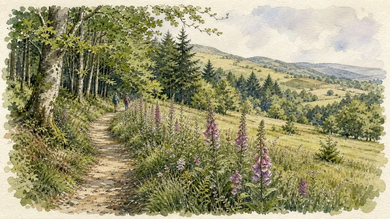
Découverte des villages
Départ : A la sortie du parking, prendre à droite l’allée du stade. En haut de la côte, à l’intersection, monter à gauche jusqu’au lieu-dit Le Calvaire (croix et table d’orientation, point de vue : Roc du Guet, Pierre Pamole, Pierre-sur-Haute, Grün de Chignore, monts du Livradois, monts du Cantal dans le lointain, chaîne des Puys, massif du Sancy, Clermont-Ferrand, au premier plan, bourg de St-Rémy). Emprunter le chemin à droite derrière les croix (bois de bouleau). A la route goudronnée, l’emprunter à droite. Au carrefour (croix de Mission dite «croix Rouge»), continuer tout droit. A la patte d’oie, rester sur le chemin montant à droite. 1 - Au croisement avec une route goudronnée, monter le sentier en face. Garder le chemin décrivant une courbe à droite puis à gauche. Au croisement, à la croix en fer forgé, continuer tout droit. A l’intersection suivante, emprunter la route goudronnée à gauche. Traverser le hameau de Barnerias (deux fontaines, ignorer les chemins partant à droite et à gauche). 200 m après le village, dans le virage, à la patte d’oie, emprunter le sentier qui monte à gauche. Au carrefour suivant (bois de chênes), prendre à gauche. Continuer en face sur le chemin qui redescend. Au carrefour suivant, tourner sur le chemin carrossable à droite. 2 - Au carrefour en bas de la descente, tourner à droite (point de vue : plaine de la Limagne, Clermont-Ferrand, le Puy de Dôme, le Sancy, le massif du Cantal, les butes volcaniques de la Comté). A la patte d’oie suivante, laisser le chemin qui descend et prendre celui le plus à droite, ignorer la sente qui part à droite. Traverser la route pour entrer dans le village de Chabrol (dans le village : bâtiments avec linteaux et jambages en granit blanc), descendre dans le village. A la maison au toit à quatre pans, descendre à droite de celle-ci. A 200 m après le hameau, au carrefour, tourner à gauche (point de vue : monts du Livradois). Passer à côté de la maison isolée du Cheix. 200m après Le Cheix, à la patte d’oie, quitter le chemin principal et descendre sur le chemin à droite. 3 - Au carrefour, laisser le chemin partant à droite et continuer toujours tout droit sur la piste principale (point de vue : massif du Sancy, Clermont- Ferrand, chaîne des Puys). A l’entrée du village de Morel suivre la route à droite (point de vue : monts de Forez, chaîne des Puys, massif du Sancy, massif du Livradois). Au carrefour, prendre la route à gauche en direction du hameau de Prudent, continuer tout droit (ignorer la route à droite). Au carrefour suivant, monter à gauche pour entrer de nouveau dans Morel (habitat traditionnel en granit). A la sortie du hameau de Morel, continuer sur la route tout droit (point de vue : Pierre Pamole, Grün de Chignore, Roc Blanc, rocher du Calvaire au-dessus du village de St-Rémy). 4 - Arrivée à la D325, la traverser et emprunter le chemin bordé de chênes. Au carrefour suivant, prendre à droite puis 50 m plus loin, à la patte d’oie, continuer sur le chemin à droite. Au croisement, prendre la route à gauche. Au carrefour, continuer tout droit. Au deuxième carrefour, à la croix, tourner à droite direction Thiers sur la D201 (passer au-dessus de l’autoroute). Après le pont, prendre à gauche. 50 m plus loin, ignorer le chemin qui monte à droite et emprunter le chemin qui longe l’autoroute, garder le chemin (laisser celui qui part à droite). Passer sous l’autoroute par un tunnel à gauche. Au bout du chemin, prendre à droite par un chemin très raide puis à la route l’emprunter à gauche. Emprunter une sente herbeuse à droite. A la route, prendre à droite, puis à gauche pour retrouve

From Montpeyroux to Pas du Loup
Start: From the town-hall car park in Paslières, head towards the D906. Cross it and take the paved road opposite. At the fork in La Croix Rouge, keep left on the main road to the D85. Follow it left towards Montpeyroux, with its former abbey. 1. Climb the paved road on the right after the restaurant. Pass between two houses as the road becomes a track. Continue straight to La Vernelle, then turn right on the road to Le Canelier. Cross the village and take the road left beside a well. At the next T-junction, climb left to Fagot Marnat. 2. In the village, continue left and follow the sharp bend right. At the four-way junction, take the track left. At the fork, continue uphill right for 150 m, then turn onto the track right beside the private-property sign. Keep to the main track to Bois Blanchet. At the bottom of the descent, take the track left and continue to Pas du Loup. 3. Descend on the track right, pass a reservoir and continue straight to the paved road. Cross it and take the track opposite to the D85. Cross and continue straight on the main track to La Croix Rouge. Take the road left and continue to the D906. Cross it to return to the town-hall car park.

Le calvaire (circuit n°33)
Discover this trail through the heart of Livradois-Forez.
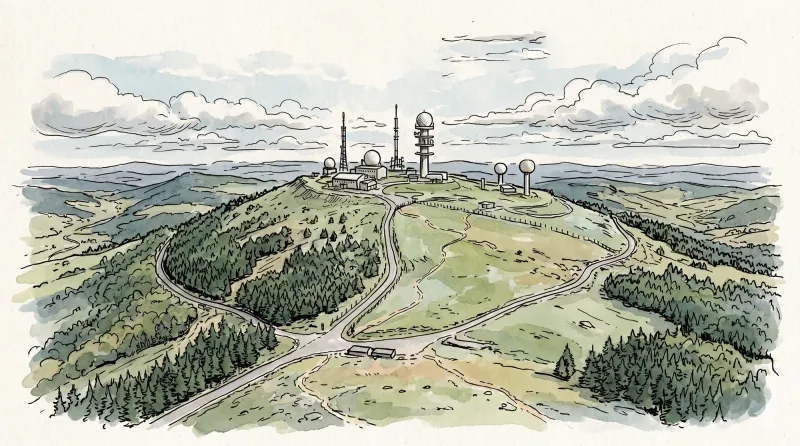
Le Mont Sauvy (circuit n°32)
Discover this trail through the heart of Livradois-Forez.
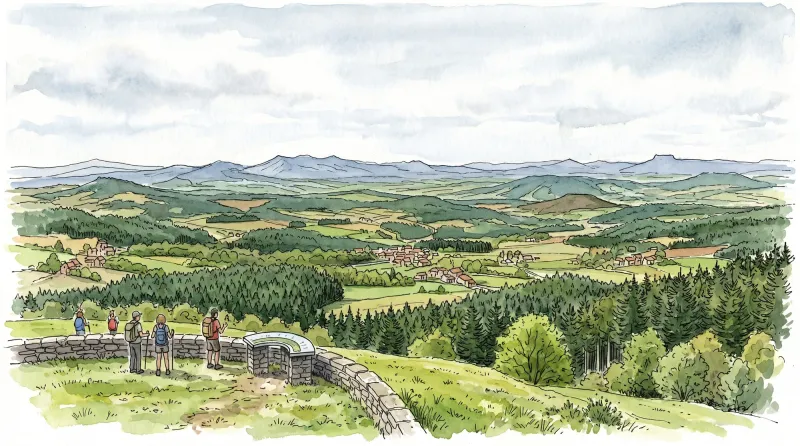
The Grands Graviers pond
Departure: From the car park at the entrance to the Dore campsite in Puy-Guillaume, head towards the D63. Take it on the right for 10 m before, cross it to take the path opposite. At the next intersection, continue on the path to the right until you reach the Grands Graviers pond on your right (possibility of going around the pond via the road). 1 - Then take the path on the left and continue on the main path until the D44. Take it on the right for 100m before crossing it to take the tarmac road towards the village of “Peux”. 2 - At the entrance to the village of “Peux”, take the path on the left. Keep the main path which turns 90° to the left until you reach the D343. Cross it and continue on the road opposite until you reach the D906. Cross the D906 to take rue Jean Moulin opposite. 3 - At the next intersection, turn left onto rue Eugéne Phelip, keep the main road until the crossroads in the town center of Puy-Guilluame. Head opposite on rue Joseph Claussat. Continue straight until the roundabout. Then take the D63 towards Limons until you find the starting car park of the circuit.
Explore Nearby
Complement your visit to Paslières by exploring these neighboring villages.
Charnat
A tranquil agrarian enclave where the remnants of Templar history meet the gentle currents of the Allier valley, ideal for a quiet afternoon of contemplation.
Dorat
A high-plain settlement where the architectural legacy of the Barante dynasty meets a rare fortified sanctuary rising above the Dore valley.
Noalhat
A quiet riverside commune defined by the remnants of a 14th-century Benedictine priory and the gentle flow of the Dore.
Puy-Guillaume
An industrial river town where Cistercian ruins meet a defiant tradition of local commerce along the banks of the Dore.
Saint-Rémy-sur-Durolle
A high-altitude sanctuary of industrial precision and Gothic dignity, renowned as the global epicenter for the manufacture of corkscrew spirals.
Saint-Victor-Montvianeix
A rugged ascent into the forested heights of the Thiernoise mountains, where fractured history meets the dramatic basalt gorges of the Credogne valley.
Thiers
A vertical journey through France's blade-making capital, where medieval timber-frames hang over dramatic industrial gorges carved by the Durolle.


