
Illustration in progress
The air cools as one ascends the steep gradients of the Forez, where Saint-Victor-Montvianeix occupies a territory dominated by a staggering 85 percent forest canopy. This is a landscape of profound isolation and verticality, spanning nearly a thousand meters in elevation from the valley floor to the high ridges of the Massif Central. Historically, the commune represents a late-eighteenth-century union of two distinct parishes—Saint-Victor-la-Loubière and Montvianeix—briefly unified under the austere revolutionary name of Credogne. Today, the territory reveals its character through a constellation of over fifty hamlets, each a quiet cluster of stone weathered by mountain winters and shaded by ancient stands of oak and pine.
At the heart of the settlement, the Église de Saint-Victor presents a compelling architectural anomaly. Reconstructed in 1461 upon Romanesque foundations, the building features a choir that sits curiously off-center from its single, austere Gothic nave. Inside, the “cul de four” vault of the sanctuary remains as a silent witness to the primitive church that preceded the current structure. Just outside, a granite crossroads cross from 1613 displays naive carvings of Christ and the Virgin, having survived the iconoclasm of the Revolution after being relocated from the neighboring heights of Montvianeix. The surrounding cemetery, with its weathered monuments clinging to the sharp incline, offers a poignant reflection on the tenacity of life in these rugged highlands.
Beyond the village center, the landscape gives way to the dramatic topography of the Credogne valley. Here, the waters have carved the Creux Saillant, a waterfall that plunges through the dark basalt with a rhythmic intensity that echoes through the ravine. While the physical monuments are arresting, the commune’s most significant cultural export now resides across the Atlantic; a revered twelfth-century Black Madonna, once the soul of the Montvianeix chapel, was spirited away to New York’s Cloisters museum in the mid-twentieth century. Wandering these paths today, one feels the phantom presence of such lost treasures, replaced by the elemental power of the forest and the enduring silence of the high Auvergne peaks.
Local profile
At a Glance
- Population
- 264
- Demonym
- —
- Altitude
- 319–1224 m
- Forest
- 85.3%
residents
local residents
lowest to highest
commune coverage
Did You Know?
“The village's 12th-century Black Madonna was acquired by a collector before WWII and now resides in the Metropolitan Museum of Art’s "Cloisters" in New York.”
Cultural Heritage
Protected historic monuments in Saint-Victor-Montvianeix
Croix de chemin de Montvianeix
Montvianeix
Recent Wildlife & Flora Log
Nature observations recorded within 5km of Saint-Victor-Montvianeix.
Common Periwinkle
Broom Leaf Beetle
Agapanthia villosoviridescens (Degeer, 1775)
Malachite Beetle
Plateumaris sericea (Linnaeus, 1758)
Common Frog
Mangora acalypha (Walckenaer, 1802)
Heath Spotted-Orchid
Macrophya blanda (Fabricius, 1775)
Ash-black Slug
Trails around Saint-Victor-Montvianeix
Discover physical challenges and natural beauty in the immediate vicinity.
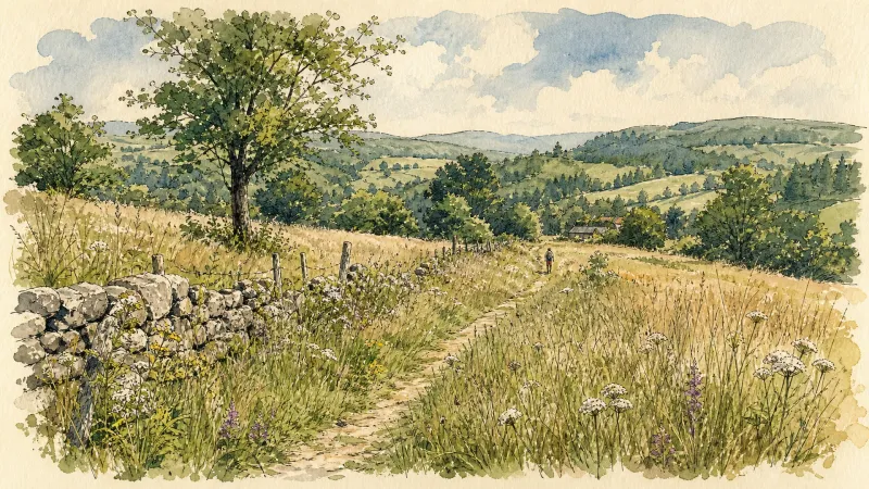
Bariande
This 5.1 km loop starts and finishes at Palladuc, with 179 m of ascent and an estimated duration of 1 hr 18 min.

From Montpeyroux to Pas du Loup
Start: From the town-hall car park in Paslières, head towards the D906. Cross it and take the paved road opposite. At the fork in La Croix Rouge, keep left on the main road to the D85. Follow it left towards Montpeyroux, with its former abbey. 1. Climb the paved road on the right after the restaurant. Pass between two houses as the road becomes a track. Continue straight to La Vernelle, then turn right on the road to Le Canelier. Cross the village and take the road left beside a well. At the next T-junction, climb left to Fagot Marnat. 2. In the village, continue left and follow the sharp bend right. At the four-way junction, take the track left. At the fork, continue uphill right for 150 m, then turn onto the track right beside the private-property sign. Keep to the main track to Bois Blanchet. At the bottom of the descent, take the track left and continue to Pas du Loup. 3. Descend on the track right, pass a reservoir and continue straight to the paved road. Cross it and take the track opposite to the D85. Cross and continue straight on the main track to La Croix Rouge. Take the road left and continue to the D906. Cross it to return to the town-hall car park.
L'appel de la forêt (circuit n°28)
Discover this trail through the heart of Livradois-Forez.
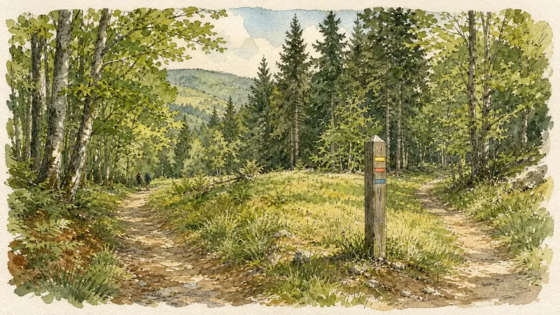
Le barrage de la Muratte (circuit 25)
Discover this trail through the heart of Livradois-Forez.
Le calvaire (circuit n°33)
Discover this trail through the heart of Livradois-Forez.
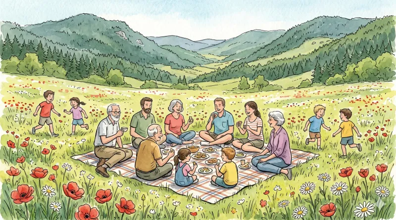
Le Magot (circuit n°30)
Discover this trail through the heart of Livradois-Forez.
Explore Nearby
Complement your visit to Saint-Victor-Montvianeix by exploring these neighboring villages.
Lachaux
A high-altitude plateau where ancient quartz ridges and megalithic legends intersect with the industrial shadows of France’s first uranium mines.
Palladuc
A high-altitude sanctuary where the dense forests of the Puy de Montoncel meet the reflective stillness of the Muratte reservoir.
Puy-Guillaume
An industrial river town where Cistercian ruins meet a defiant tradition of local commerce along the banks of the Dore.


