
Illustration in progress
Lachaux occupies the “calmis”—a high, exposed plateau characterized by poor soils and resilient flora, where the air remains sharp even in the height of summer. The landscape is dominated by the Rez-de-Sol, a monumental geological anomaly consisting of an eighty-eight-hectare quartz vein that erupts from the earth’s crust. As the largest silicate fracture in the Massif Central, this jagged white spine reaches an altitude of 943 meters, offering a stark, crystalline contrast to the surrounding dense thickets of stunted oak and mountain ash. Wandering the skeletal trails of the ridge reveals a panorama that stretches across the Limagne plains toward the distant, hazy silhouettes of the Bois-Noirs, a vista framed by the low-slung branches of wild bilberry bushes.
The ancient memory of the plateau is etched into the granite of the Pierre du Sang, located near the hamlet of Plan de James. This thirty-cubic-meter monolith is pockmarked with ritualistic cupules and basins, fueling centuries of local lore regarding druidic sacrifices. The stone’s surface features deep, carved channels that legends claim were designed to funnel the blood of victims into collection vessels below, a grim but fascinating testament to the region’s prehistoric spiritual life. Similar megalithic remnants, such as the Rocher du Combeau, lie scattered along the communal boundaries, their weathered surfaces suggesting a landscape that was once a significant center for Neolithic or Gallic ceremony long before the arrival of the Christian era.
The village’s twentieth-century narrative is unexpectedly tethered to the dawn of the atomic age, as Lachaux provided the first exploitable uranium for the post-war French nuclear program. In 1946, under the directive of General de Gaulle, the Commissariat à l’Énergie Atomique established a mining division here to extract parsonsite, a rare radioactive ore unique to this specific geology. While the industrial fever subsided by the late 1950s, the legacy of the “Division Minière de Lachaux” remains in the architectural rhythm of the Cités CEA and the stories of the remediated schoolyard. Today, the village center returns to a quieter pace, centered around the Church of Saint-Bonnet, an edifice that marks the historical transition of this territory from the Duchy of Bourbonnais to the rugged sovereignty of Auvergne.
Local profile
At a Glance
- Population
- 273
- Demonym
- Chauxois
- Altitude
- 417–947 m
- Forest
- 67.4%
residents
local residents
lowest to highest
commune coverage
Did You Know?
“The village schoolyard was found to be paved with radioactive waste from the local mines in the 1980s, leading to a full-scale environmental excavation decades later.”
Cultural Heritage
A quiet village with authentic Auvergne charm.
Recent Wildlife & Flora Log
Nature observations recorded within 5km of Lachaux.
Oak Eggar
Malachite Beetle
Blue Echium
Bee-Eating Beetle
Gatekeeper
Pine Ladybird
Blistered Toadskin Lichen
Deer Fern
Artemisia Swallowtail
Mycelis muralis (L.) Dumort.
Trails around Lachaux
Discover physical challenges and natural beauty in the immediate vicinity.
From Lachaux to Étang de Malforêt
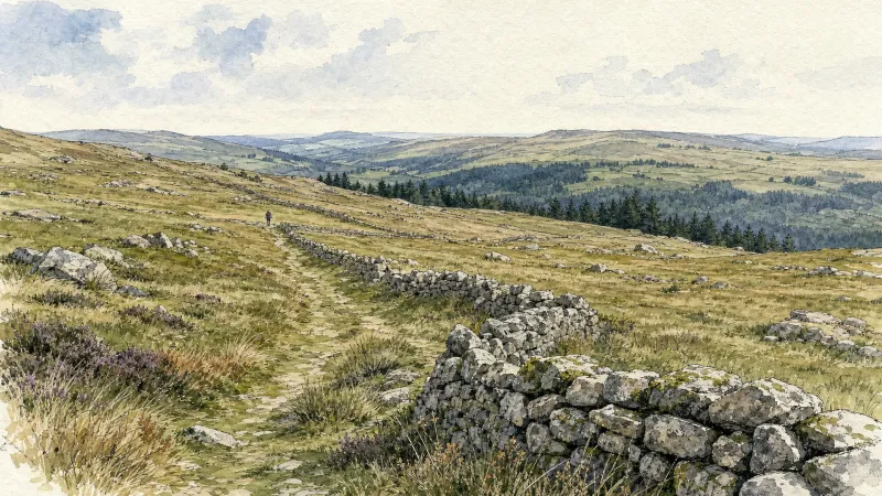
Start: From the main square in Lachaux, follow the D63 to the left towards Lachaux town hall. At the junction of several roads, head onto the D331 towards La Guillermie. Just before the village of “Plan Pannetier”, turn onto the track on the left towards “La Querie”. Continue straight ahead to the D63. Cross it and take the road opposite. Cross the village of “Plan Bigay” and continue descending on a track until you rejoin the D63. Follow it to the left for 20m, then descend a path on the right. Stay on the main track to Croix des Peux. 1 - Cross the D63 again and take the vehicle track straight ahead. At the fork, continue on the lower track. Stay on the main track as it climbs to the left. At the T-junction, take the track continuing uphill to the right. By the village of “Chez Duret”, the track becomes a road. Then cross the village of “Chez Pion” and, at the junction with a picnic table, continue to the right to the village of “Terrasson” (view of the Chaîne des Puys). In the centre of the village, take the track on the right between the houses. 2 - At the surfaced road by the sports ground, follow it to the right. 300 m after the right-hand hairpin bend, turn onto the road on the left towards the village of “Les Caves”. Pass alongside the village, following the track to the right. Continue on the main track until you reach a broad track. Follow it to the left to Étang de Malforêt. Follow the entire length of the pond on its left. Then continue on the main surfaced road. 3 - After 1 km, take the track climbing to the left straight ahead. Stay on the main track to the surfaced road. Turn right onto the road and continue straight ahead to the D43. Follow it to the left for 80 m, then turn onto the first road on the right towards the village of “Chez Morel”. In the centre of the village, take the road on the left. It passes between the houses and becomes a track. Stay on the main track to the village of “La Vignole Basse”. Descend the road to the right as far as the D63. 4 - Cross it and take the track straight ahead. At the next junctions, continue on the track straight ahead to the village of “Le Sapet”. At the T-junction in the centre of Le Sapet, take the road climbing to the left. Stay on the main road through the village of “La Bretonne”. 500 m after the village of “La Bretonne”, take a track on the left. Stay on the main track as it descends and then climbs to the village of “Gimet”. Continue uphill on the road to the right to the D63. Cross it and take the vehicle track opposite. At the T-junction, turn onto the track on the right until you rejoin the D63. Follow it to the left into Lachaux and continue straight ahead to return to the starting car park.
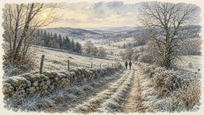
Le puy Snidre (circuit n°55)
Discover this trail through the heart of Livradois-Forez.
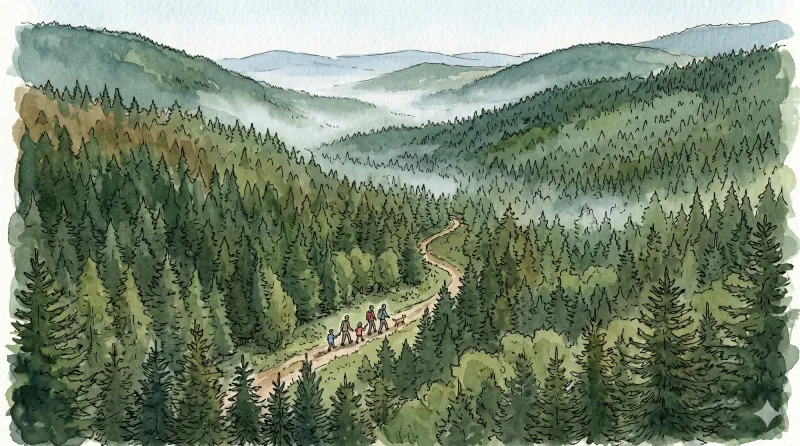
Rez de Sol
This 10.6 km loop starts and finishes at Murat (Lachaux), with 445 m of ascent and an estimated duration of 3 hr 15 min.
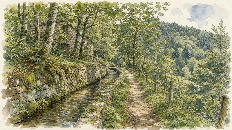
Pitelet
This 8.9 km loop starts and finishes at Saint-Victor-Montvianeix, with 249 m of ascent and an estimated duration of 2 hr 15 min.

Vichy par les contreforts de l'Allier (circuit route n°12)
Discover this trail through the heart of Livradois-Forez.
Explore Nearby
Complement your visit to Lachaux by exploring these neighboring villages.
Châteldon
A medieval enclave defined by its naturally effervescent springs and a complex political history reflected in its fortified architecture.
Ris
A sanctuary of Cluniac history where some of Auvergne's oldest Romanesque architecture meets the dramatic confluence of the Dore and Allier rivers.
Saint-Victor-Montvianeix
A rugged ascent into the forested heights of the Thiernoise mountains, where fractured history meets the dramatic basalt gorges of the Credogne valley.


