
Illustration in progress
The village stands as a silent witness to the late Middle Ages, where the timber-framed facades and overhanging upper floors of the 15th century still line the narrow lanes. Stone and oak dominate the aesthetic, from the imposing 14th-century belfry that once served as the town gate to the rugged silhouette of the 12th-century fortress. Walking these streets, one feels the weight of a former regional power once fueled by the clatter of tanneries and the sharpness of cutlery blades. The Church of Saint-Sulpice provides a cool sanctuary of Gothic sobriety, housing a 15th-century “Lamentation of the Virgin” that reflects the solemn artistic heritage of the Auvergne-Bourbonnais border.
Beneath the surface of this verdant landscape flows a naturally carbonated treasure that once graced the tables of the Sun King’s court at Versailles. Châteldon mineral water, known for its delicate effervescence and bicarbonate richness, remains an emblem of French refinement, often reserved for the most storied dining rooms in the world. The Vauziron stream carves through the valley, a persistent rhythm against the backdrop of ancient vineyards that once clothed these slopes before the 20th century brought a shift toward forest density. Travelers can trace the legacy of the thermal era, imagining the 19th-century bathers who sought relief in these hills, drawn by the same medicinal properties lauded by royal physicians centuries ago.
The grand 12th-century castle carries a darker, more contemporary resonance, having served as the residence of Pierre Laval during the tumultuous years of the Vichy regime. Its thick walls and elevated vantage point over the Puy-de-Dôme landscape evoke a complex narrative of power and resistance, culminating in the sharp skirmishes of August 1944 between local partisans and occupying forces. Today, the fortress and its surrounding noble residences maintain an air of aristocratic seclusion, their gardens and masonry absorbing the quietude of the surrounding woods. This landscape serves as a profound site for reflection, where the scars of the 20th century merge with the enduring permanence of medieval granite.
Local profile
At a Glance
- Population
- 740
- Demonym
- Châteldonnais
- Altitude
- 285–862 m
- Forest
- 75.8%
residents
local residents
lowest to highest
commune coverage
Did You Know?
“Legend claims the royal physician Fagon prescribed Châteldon’s naturally sparkling waters to Louis XIV, though historical research suggests the spring’s fame truly ignited in the 1770s.”
Cultural Heritage
Protected historic monuments in Châteldon
Maisons de vignerons
rue de l'Aire
Croix du village de Gironde
Gironde
Maison à pans de bois à étage en encorbellement
6 rue des Boucheries
Maison Sergentale
2 rue des Boucheries
Eglise Saint-Sulpice
Châteldon
Immeuble (ou maison)
4 rue des Boucheries
Maison
13 place Jean-Jaurès ; rue des Boucheries
Château
Châteldon
Beffroi
rue du Fort
Recent Wildlife & Flora Log
Nature observations recorded within 5km of Châteldon.
Bee-Eating Beetle
Gatekeeper
Pine Ladybird
Blistered Toadskin Lichen
Deer Fern
Artemisia Swallowtail
Mycelis muralis (L.) Dumort.
Oak Moss
Common Cow-Wheat
Fire bug
Trails around Châteldon
Discover physical challenges and natural beauty in the immediate vicinity.
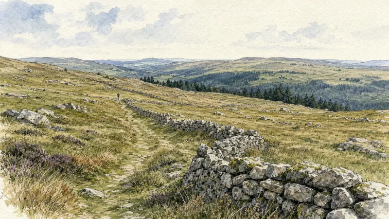
From Lachaux to Étang de Malforêt
Start: From the main square in Lachaux, follow the D63 to the left towards Lachaux town hall. At the junction of several roads, head onto the D331 towards La Guillermie. Just before the village of “Plan Pannetier”, turn onto the track on the left towards “La Querie”. Continue straight ahead to the D63. Cross it and take the road opposite. Cross the village of “Plan Bigay” and continue descending on a track until you rejoin the D63. Follow it to the left for 20m, then descend a path on the right. Stay on the main track to Croix des Peux. 1 - Cross the D63 again and take the vehicle track straight ahead. At the fork, continue on the lower track. Stay on the main track as it climbs to the left. At the T-junction, take the track continuing uphill to the right. By the village of “Chez Duret”, the track becomes a road. Then cross the village of “Chez Pion” and, at the junction with a picnic table, continue to the right to the village of “Terrasson” (view of the Chaîne des Puys). In the centre of the village, take the track on the right between the houses. 2 - At the surfaced road by the sports ground, follow it to the right. 300 m after the right-hand hairpin bend, turn onto the road on the left towards the village of “Les Caves”. Pass alongside the village, following the track to the right. Continue on the main track until you reach a broad track. Follow it to the left to Étang de Malforêt. Follow the entire length of the pond on its left. Then continue on the main surfaced road. 3 - After 1 km, take the track climbing to the left straight ahead. Stay on the main track to the surfaced road. Turn right onto the road and continue straight ahead to the D43. Follow it to the left for 80 m, then turn onto the first road on the right towards the village of “Chez Morel”. In the centre of the village, take the road on the left. It passes between the houses and becomes a track. Stay on the main track to the village of “La Vignole Basse”. Descend the road to the right as far as the D63. 4 - Cross it and take the track straight ahead. At the next junctions, continue on the track straight ahead to the village of “Le Sapet”. At the T-junction in the centre of Le Sapet, take the road climbing to the left. Stay on the main road through the village of “La Bretonne”. 500 m after the village of “La Bretonne”, take a track on the left. Stay on the main track as it descends and then climbs to the village of “Gimet”. Continue uphill on the road to the right to the D63. Cross it and take the vehicle track opposite. At the T-junction, turn onto the track on the right until you rejoin the D63. Follow it to the left into Lachaux and continue straight ahead to return to the starting car park.
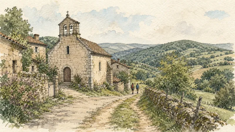
From La Credogne to Étang Tuilier
This 10.0 km loop starts and finishes at Puy-Guillaume, with 115 m of ascent and an estimated duration of 3 hours.

From Vauziron to La Chasserelle
This 8.6 km loop starts and finishes at Châteldon, with 293 m of ascent and an estimated duration of 2 hr 30 min.
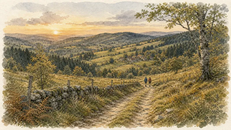
Le circuit "Castel-Ondon", chemin de l'Histoire du bourg
Discover this trail through the heart of Livradois-Forez.
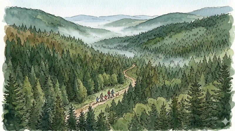
Rez de Sol
This 10.6 km loop starts and finishes at Murat (Lachaux), with 445 m of ascent and an estimated duration of 3 hr 15 min.
Above Châteldon
This 5.6 km loop starts and finishes at Châteldon, with 124 m of ascent and an estimated duration of 2 hours.
Explore Nearby
Complement your visit to Châteldon by exploring these neighboring villages.
Lachaux
A high-altitude plateau where ancient quartz ridges and megalithic legends intersect with the industrial shadows of France’s first uranium mines.
Puy-Guillaume
An industrial river town where Cistercian ruins meet a defiant tradition of local commerce along the banks of the Dore.
Ris
A sanctuary of Cluniac history where some of Auvergne's oldest Romanesque architecture meets the dramatic confluence of the Dore and Allier rivers.
Saint-Victor-Montvianeix
A rugged ascent into the forested heights of the Thiernoise mountains, where fractured history meets the dramatic basalt gorges of the Credogne valley.


