
Elevation Profile
310–573 m
Départ sur la place de Châteldon. Emprunter la D113 sur 200 m, en direction de Rongère-Montagne. A la sortie de Châteldon, suivre à gauche un chemin longeant le parc du château. Après une montée raide, on accède au lieu-dit Chez Gironde (vue sur les monts du Livradois, la Limagne, les monts Dore et la chaîne des Puys).
(1) Au carrefour, dans le hameau, continuer tout droit sur 500 m (vue sur les monts du Livradois, la Limagne, les monts Dore et la chaîne des Puys). Prendre à gauche à la fourche. Poursuivre le chemin jusqu’à la Croix-Vernet, puis continuer sur la route goudronnée qui passe au lieu-dit Chez-Tout-Seul.
(2) Obliquer à gauche sur un chemin de terre. On longe le plateau avant de passer aux fermes de la Grand’Garde (vue sur la vallée du Vauziron et les Bois-Noirs) et de Brafumel.
(3) Laisser le chemin ; tourner alors à droite vers Chaussenoire pour descendre tout droit dans les feuillus (vue sur les monts du Livradois, la Limagne, les monts Dore et la chaîne des Puys). Virer à gauche à l’intersection suivante et poursuivre la descente (vue sur la vallée du Vauziron et les Bois-Noirs). Descendre par la D 63 (sources minérales), à gauche jusqu’au bourg de Châteldon.
At a Glance
- Duration
- 2.5hrs
- Distance
- 8.6km
- Elevation +
- +293 m
- Elevation -
- -293 m
At a Glance
Live Weather
Departure / Arrival · Châteldon
Live conditions
—
Feels like
—
Wind / gusts
—
Visibility
—
Updated: —
Field notes and images
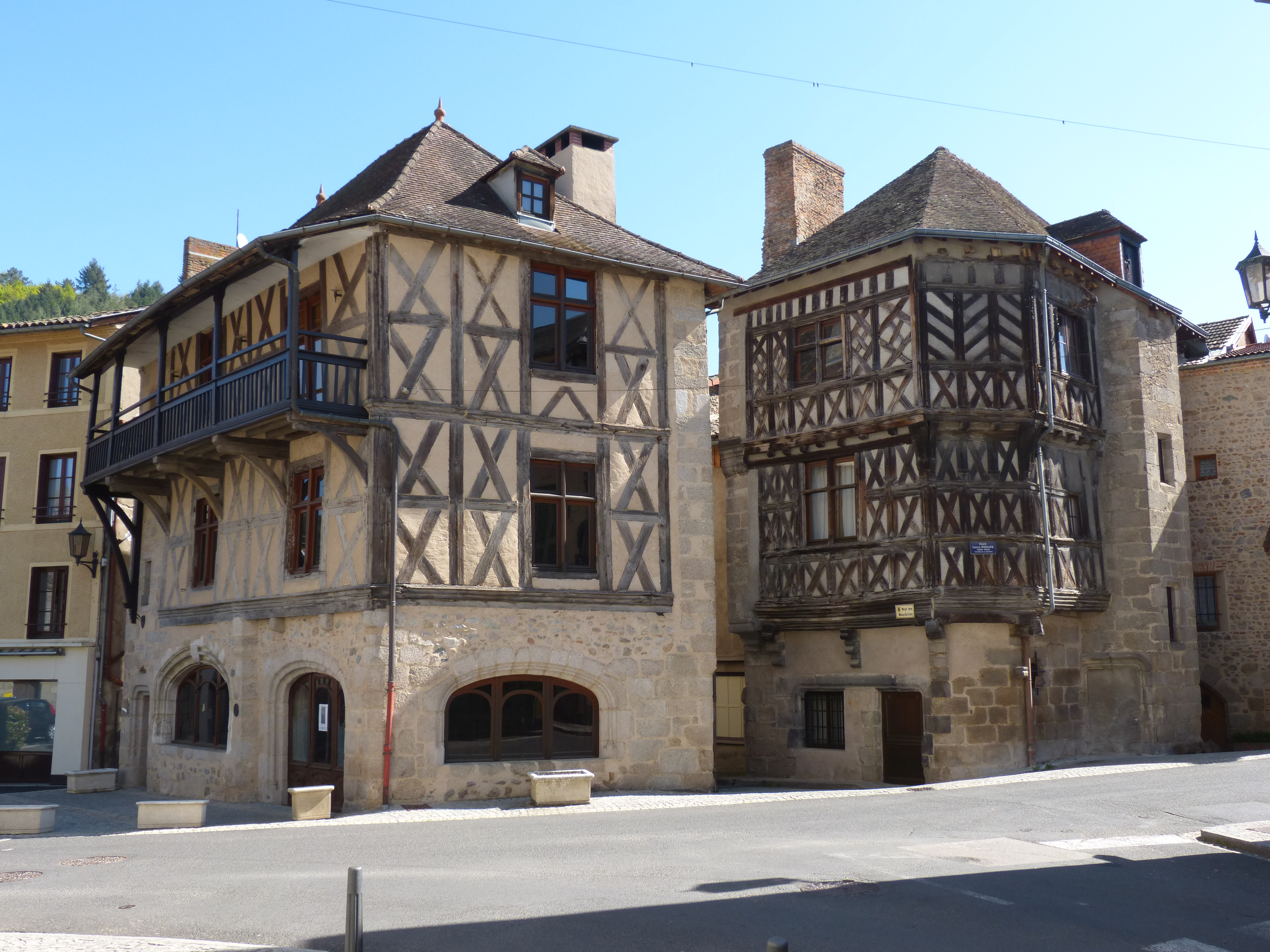
Chateldon
Captured by MDT
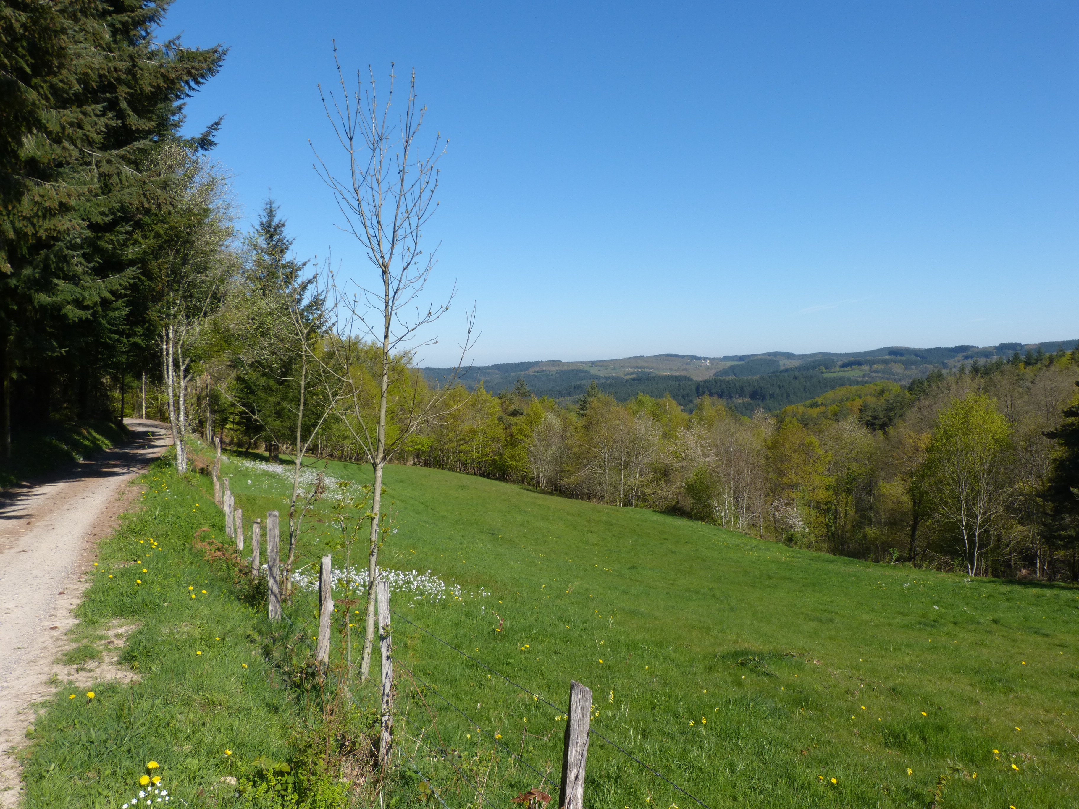
Montagne Bourbonnaise
Captured by MDT
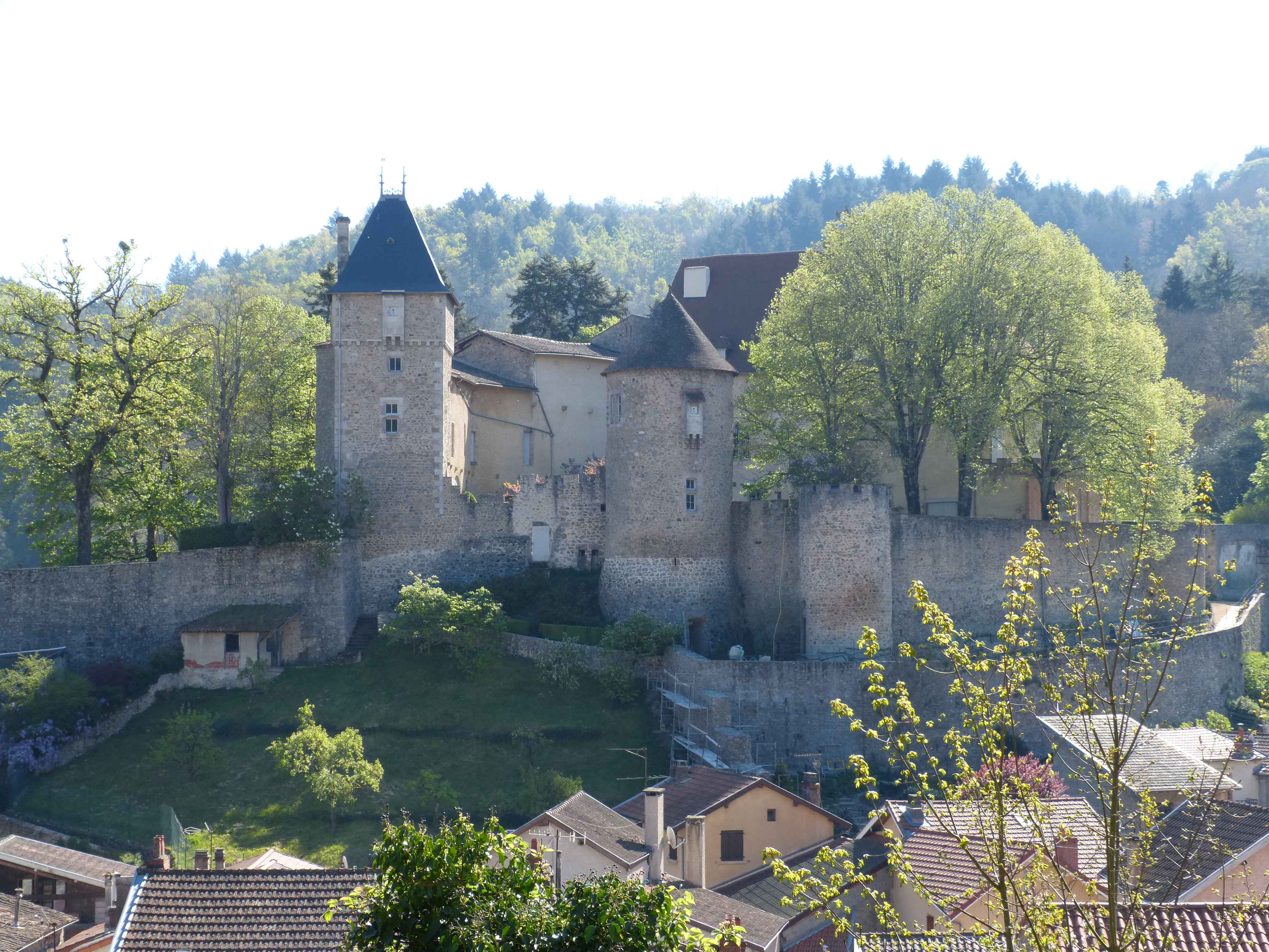
Château de Chateldon
Captured by MDT
Explore Nearby
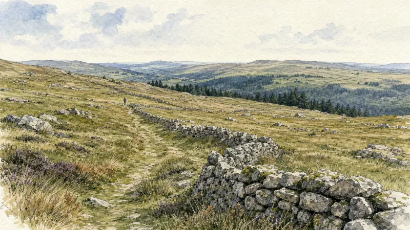
From Lachaux to Étang de Malforêt
Start: From the main square in Lachaux, follow the D63 to the left towards Lachaux town hall. At the junction of several roads, head onto the D331 towards La Guillermie. Just before the village of “Plan Pannetier”, turn onto the track on the left towards “La Querie”. Continue straight ahead to the D63. Cross it and take the road opposite. Cross the village of “Plan Bigay” and continue descending on a track until you rejoin the D63. Follow it to the left for 20m, then descend a path on the right. Stay on the main track to Croix des Peux. 1 - Cross the D63 again and take the vehicle track straight ahead. At the fork, continue on the lower track. Stay on the main track as it climbs to the left. At the T-junction, take the track continuing uphill to the right. By the village of “Chez Duret”, the track becomes a road. Then cross the village of “Chez Pion” and, at the junction with a picnic table, continue to the right to the village of “Terrasson” (view of the Chaîne des Puys). In the centre of the village, take the track on the right between the houses. 2 - At the surfaced road by the sports ground, follow it to the right. 300 m after the right-hand hairpin bend, turn onto the road on the left towards the village of “Les Caves”. Pass alongside the village, following the track to the right. Continue on the main track until you reach a broad track. Follow it to the left to Étang de Malforêt. Follow the entire length of the pond on its left. Then continue on the main surfaced road. 3 - After 1 km, take the track climbing to the left straight ahead. Stay on the main track to the surfaced road. Turn right onto the road and continue straight ahead to the D43. Follow it to the left for 80 m, then turn onto the first road on the right towards the village of “Chez Morel”. In the centre of the village, take the road on the left. It passes between the houses and becomes a track. Stay on the main track to the village of “La Vignole Basse”. Descend the road to the right as far as the D63. 4 - Cross it and take the track straight ahead. At the next junctions, continue on the track straight ahead to the village of “Le Sapet”. At the T-junction in the centre of Le Sapet, take the road climbing to the left. Stay on the main road through the village of “La Bretonne”. 500 m after the village of “La Bretonne”, take a track on the left. Stay on the main track as it descends and then climbs to the village of “Gimet”. Continue uphill on the road to the right to the D63. Cross it and take the vehicle track opposite. At the T-junction, turn onto the track on the right until you rejoin the D63. Follow it to the left into Lachaux and continue straight ahead to return to the starting car park.
From La Credogne to Étang Tuilier
This 10.0 km loop starts and finishes at Puy-Guillaume, with 115 m of ascent and an estimated duration of 3 hours.
Le circuit "Castel-Ondon", chemin de l'Histoire du bourg
Discover this trail through the heart of Livradois-Forez.