
Illustration in progress
The town unfurls along the right bank of the Dore, where the water once carried the heavy traffic of Auvergne’s commercial pulse. Before the arrival of the railway, this was a vital port for the transit of timber and wine, a legacy still whispered by the river’s steady flow. Today, the industrial rhythm is dominated by the glowing furnaces of the glassworks, a facility that has continuously shaped containers since 1902. Observing the play of light on the water, one can almost trace the old biefs of the Credogne that once powered a dozen mills, weaving a narrative of mechanical endurance into the very silt of the valley floor.
Southeast of the town center, the skeletal remains of the Cistercian Abbaye de Montpeyroux stand as a silent testament to a spiritual order founded in 1126. The stones here hold the cool dampness of nearly a millennium, offering a stark contrast to the nearby Château de la Bâtisse with its distinctive pigeonniers. These architectural anchors, ranging from the 16th-century fortress lines to the refined 18th-century additions of the Château de la Mothe, provide a structural counterpoint to the town’s more modern industrial facade. Wandering through these sites reveals a landscape where the severity of monastic life once governed the same soil that now supports sprawling agricultural prairies and dense woodland.
Puy-Guillaume maintains a rare, human-centric urbanity, purposefully devoid of the sprawling commercial chains that often dilute the character of modern villages. This intentional preservation of the town center has fostered a vibrant ecosystem of independent artisans, from specialist chocolatiers to traditional bistrots, all converging during the weekly market. The atmosphere is further enriched by local lore, such as the Mazurka de Puy-Guillaume, a folk melody that captures the specific cadence of the region’s traditional dance. This resistance to commercial homogenization ensures that an afternoon spent among its streets feels like an encounter with a living, breathing community rather than a curated relic.
Local profile
At a Glance
- Population
- 2,630
- Demonym
- Puy-Guillaumois
- Altitude
- 265–590 m
- Forest
- 31.2%
residents
local residents
lowest to highest
commune coverage
Did You Know?
“The town famously lacks any supermarkets, a result of a decades-long political stance to preserve the human scale of independent local shops.”
Cultural Heritage
Protected historic monuments in Puy-Guillaume
Château de la Bâtisse
Puy-Guillaume
Abbaye cistercienne de Montpeyroux
Puy-Guillaume
Recent Wildlife & Flora Log
Nature observations recorded within 5km of Puy-Guillaume.
Aligot comú
Common Oak
Cypress-leaved Plait-moss
Hammered Shield Lichen
Spotted Dead-nettle
Squirrel-tail Moss
Bittercress
Oak Moss
40-mile Per Hour Lichen
Bitter Oysterling
Trails around Puy-Guillaume
Discover physical challenges and natural beauty in the immediate vicinity.

Découverte de Randan et Maringues (circuit route n°28)
Discover this trail through the heart of Livradois-Forez.
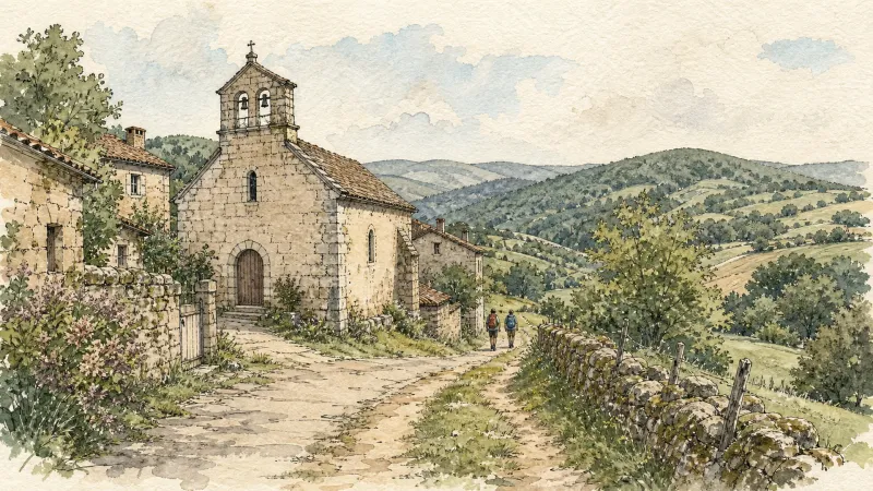
From La Credogne to Étang Tuilier
This 10.0 km loop starts and finishes at Puy-Guillaume, with 115 m of ascent and an estimated duration of 3 hours.
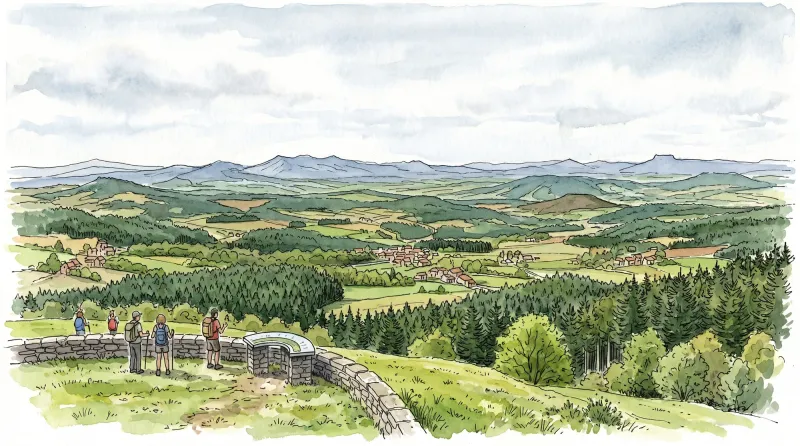
The Grands Graviers pond
Departure: From the car park at the entrance to the Dore campsite in Puy-Guillaume, head towards the D63. Take it on the right for 10 m before, cross it to take the path opposite. At the next intersection, continue on the path to the right until you reach the Grands Graviers pond on your right (possibility of going around the pond via the road). 1 - Then take the path on the left and continue on the main path until the D44. Take it on the right for 100m before crossing it to take the tarmac road towards the village of “Peux”. 2 - At the entrance to the village of “Peux”, take the path on the left. Keep the main path which turns 90° to the left until you reach the D343. Cross it and continue on the road opposite until you reach the D906. Cross the D906 to take rue Jean Moulin opposite. 3 - At the next intersection, turn left onto rue Eugéne Phelip, keep the main road until the crossroads in the town center of Puy-Guilluame. Head opposite on rue Joseph Claussat. Continue straight until the roundabout. Then take the D63 towards Limons until you find the starting car park of the circuit.
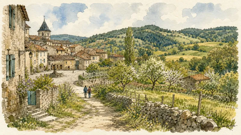
Above Châteldon
This 5.6 km loop starts and finishes at Châteldon, with 124 m of ascent and an estimated duration of 2 hours.

Via Allier (V70), from Vichy to Langeac
The route follows the Allier for 455 km, from its confluence with the Loire near Nevers to Langogne in Lozère, close to its source. Auvergne’s cycle route begins near the celebrated Bec d’Allier, where the Allier meets the Loire and Via Allier meets the Loire à Vélo. It follows the river southwards through countless treasures to the upper Allier gorges, near the source hidden in the Cévennes mountains.

Vichy par les contreforts de l'Allier (circuit route n°12)
Discover this trail through the heart of Livradois-Forez.
Explore Nearby
Complement your visit to Puy-Guillaume by exploring these neighboring villages.
Charnat
A tranquil agrarian enclave where the remnants of Templar history meet the gentle currents of the Allier valley, ideal for a quiet afternoon of contemplation.
Châteldon
A medieval enclave defined by its naturally effervescent springs and a complex political history reflected in its fortified architecture.
Limons
A tranquil riverside commune at the confluence of the Allier and Dore, where ancient Merovingian gold and Roman trade routes meet the fertile Limagne plain.
Paslières
A landscape of verticality and myth where the River Dore meets the dense forests of the Bois Noirs, characterized by 19th-century noble estates and ancient hagiographic legends.
Ris
A sanctuary of Cluniac history where some of Auvergne's oldest Romanesque architecture meets the dramatic confluence of the Dore and Allier rivers.
Saint-Victor-Montvianeix
A rugged ascent into the forested heights of the Thiernoise mountains, where fractured history meets the dramatic basalt gorges of the Credogne valley.


