
Elevation Profile
252–655 m
Adapter ses étapes en fonction de son profil
- 30 à 40 km par jour pour une famille avec des enfants.
- 50 à 60 km pour un périple vélo/visite (jusqu'à 70 km avec un VAE/vélo à assistance électrique).
- 60 à 80 km pour les pratiquants habitués.
- 80 à 100 km pour les sportifs, voir plus !
At a Glance
- Duration
- 192.0hrs
- Distance
- 186.2km
- Elevation +
- +1656 m
- Elevation -
- -1407 m
At a Glance
Live Weather
Live conditions
Live conditions are temporarily unavailable. Check Météo-France before setting out.
Live conditions
—
Feels like
—
Wind / gusts
—
Visibility
—
Updated: —
Live conditions
Live conditions are temporarily unavailable. Check Météo-France before setting out.
Live conditions
—
Feels like
—
Wind / gusts
—
Visibility
—
Updated: —
Important Advice
- Via Allier is a cycle route combining shared roads, greenways, cycle tracks and cycle lanes.
- Spring and autumn are the best seasons for riding Via Allier.
Field notes and images
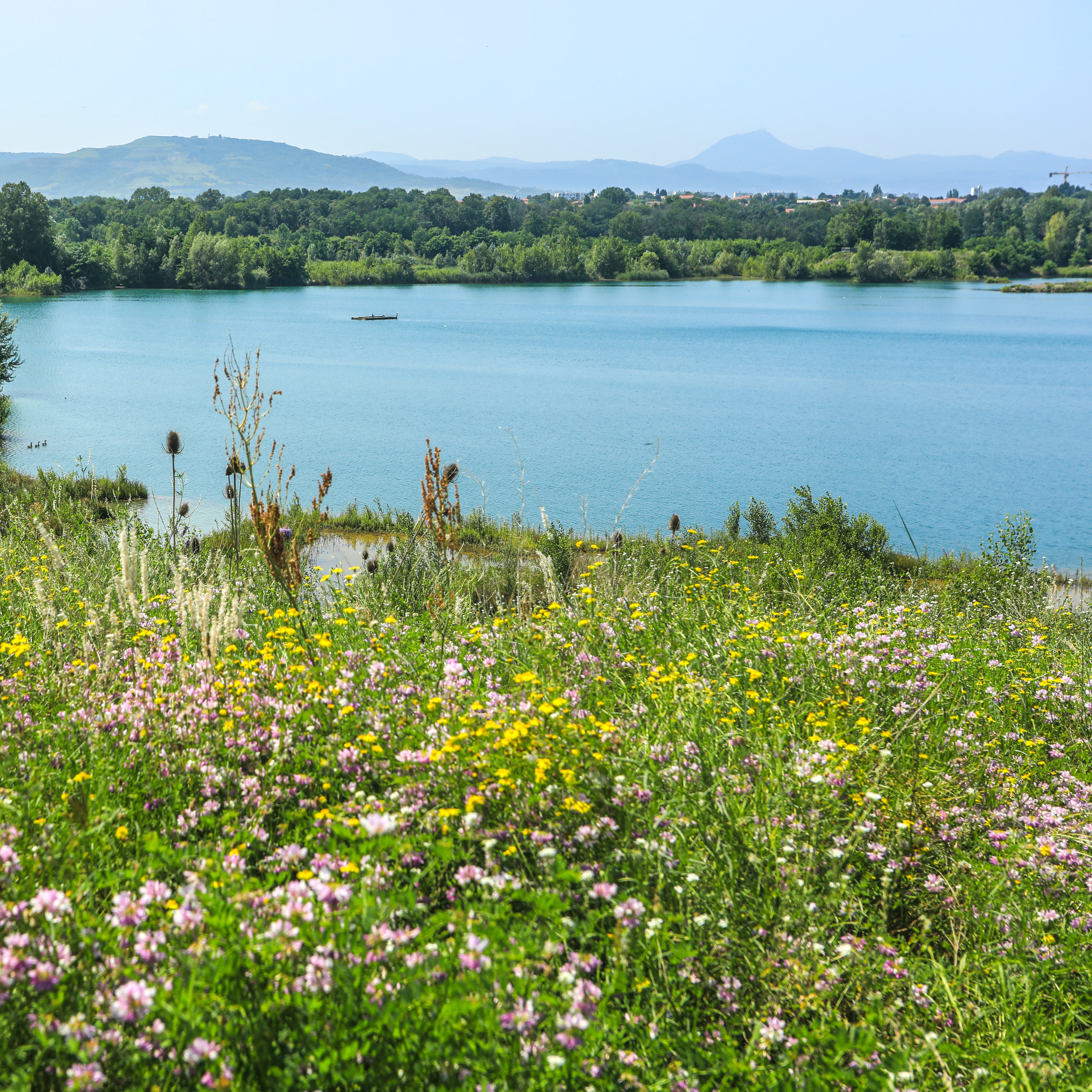
Vue sur l'éco pôle du Val d'Allier
Captured by David Frobert
Explore Nearby

Road Cycling
Châteaux and Villages in Queen Margot Country (Loop No. 7)
60.5 km
4.5 hrs
+1062 m
This 60.5 km loop starts and finishes at Sauxillanges - Place de la Promenade, with 1062 m of ascent and an estimated duration of 4 hr 30 min.
View trail guide
Mountain BikingEasy
Dallet, Along the Allier
2.9 km
1.0 hrs
+4 m
Dallet is a fine example of a former wine-growing village. It stands where the banks of the Allier, the slopes of Puy de Mur—rising above it to 603 m—and the fertile Limagne plain meet. Together, these features supported the site’s prosperity from prehistoric times onward.
View trail guide
Road Cycling
Découverte de Randan et Maringues (circuit route n°28)
117.0 km
7.0 hrs
+1022 m
Discover this trail through the heart of Livradois-Forez.
View trail guide