
Illustration in progress
The horizon of Crevant-Laveine is defined by the ambitious, albeit unfinished, silhouette of the Château de la Terrasse. Commissioned on the eve of the Revolution by Antoine Sablon du Corail, this neoclassical “folie” stands as a testament to the aesthetic daring of the late 18th century. Its architect, Claude-François-Marie Attiret, mirrored the refined proportions of Paris’s Bagatelle, though the political upheaval of 1793 left its walls stripped of their intended balustrades and sculptural flourishes. Today, the building presents a stark, massed geometry reminiscent of the visionary Ledoux, crowned by a 19th-century dome that adds a layer of romantic weight to its otherwise austere, noble lines.
Beyond the manor gates, the commune unfurls across a landscape where the dense emerald of the forest yields to the expansive geometry of the Limagne agricultural plains. The Château de Montagne offers a different sensory experience, with its parkland orchestrated by the renowned landscape architects François-Marie Treyve and Joseph Marie, where curated groves interact with the natural undulations of the terrain. This area carries the quiet weight of centuries, once governed by the influential canonesses of the Abbey of Lavesne, whose historical presence shaped the spiritual and social fabric of these lands long before the rise of the local nobility’s grand estates.
In the stillness of the local cemetery, the village guards the memory of a more modern icon: Patrick Depailler, the legendary Formula 1 pilot whose final resting place draws those who remember the high-octane era of French racing. The atmosphere here is one of dignified seclusion, where the rhythmic pulse of rural life continues amidst remnants of aristocratic ambition. Wandering through the dispersed hamlets, one observes the interplay between the ancient volcanic soils and the resilient masonry of the Auvergne, a place where the air remains cool and the history is etched into every weathered lintel and shaded avenue.
Local profile
At a Glance
- Population
- 967
- Demonym
- Crevantois
- Altitude
- 276–364 m
- Forest
- 19%
residents
local residents
lowest to highest
commune coverage
Did You Know?
“The Château de la Terrasse was modeled after the famous Bagatelle in Paris, though its completion was abruptly halted by the French Revolution.”
Cultural Heritage
Protected historic monuments in Crevant-Laveine
Château de la Terrasse
Crevant-Laveine
Recent Wildlife & Flora Log
Nature observations recorded within 5km of Crevant-Laveine.
Comma
Purple Toothwort
Beaver
Moschatel
Bedeguar Gall
Violet Oil-beetle
Spotted Dead-nettle
7-spot Ladybird
Jet Ant
Crosswort
Trails around Crevant-Laveine
Discover physical challenges and natural beauty in the immediate vicinity.

Découverte de Randan et Maringues (circuit route n°28)
Discover this trail through the heart of Livradois-Forez.
Between Crevant and Laveine
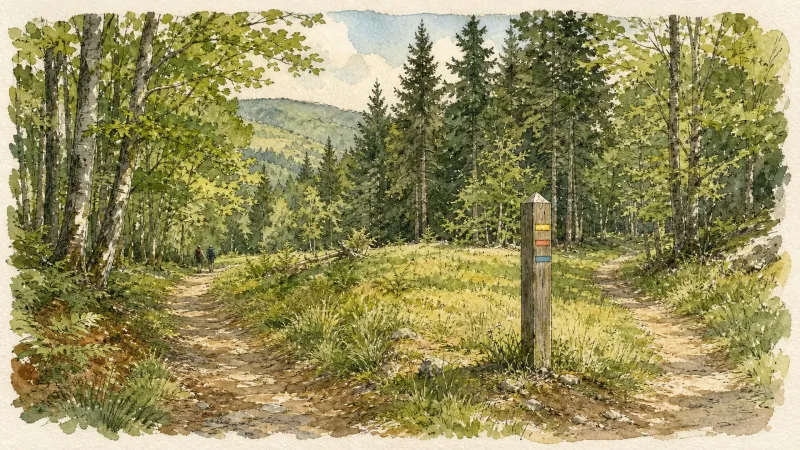
Start: From the war memorial in Square Jean Moulin, follow Rue de Laveine (D223) to the right for 50 m, then turn left onto the surfaced Chemin des Chardières. At the stop sign, take the stony track straight ahead (caution: fast traffic on the departmental road). 150 m further on, at the junction, follow the track straight ahead into the deciduous plantation. Continue on this same track alongside a meadow, then a pond. 1. At the end of the pond, at the T-junction, turn right. 20 m further on, at the next junction, turn sharply left to reach the small surfaced road (view of the hill of Montgacon and its water tower). 2. Follow the surfaced road to the right and pass between the houses; take the first track on the right. At the crossroads of 4 tracks, turn left. 3. Turn right (an optional return trip straight ahead leads towards the château, which is private property), ignoring two tracks on the right. At the junction, continue straight ahead. 4. At the fork, take the left track. 20 m further on, leave the main track and turn left into Grand Bois. 5. At the D94 (view of the Massif des Bois Noirs), follow it for 50 m, then take the first track on the right until you rejoin the D94; follow it to the right again for a few metres, then take the first track descending to the right (view of the hill of Montgacon straight ahead). 6. At the D4, cross it and take the surfaced street straight ahead (view of the Vinzelles bell tower in the left foreground, with the Chaîne des Puys and Massif du Sancy straight ahead). At the junction by the wrought-iron cross, continue straight ahead. At the T-junction (view of the Vinzelles bell tower on the left), take the earth track on the right (view of the Chaîne des Puys on the left and the Crevant-Laveine bell tower in the foreground). Ignore the first track on the left and continue straight ahead. 7. At the junction (view of the Crevant-Laveine bell tower in the foreground, the Massif du Sancy beyond and the Chaîne des Puys), turn left. At the junction beside the Allier, turn left for 30 m, then immediately take the track on the right to follow the Allier. At the reservoir, bear slightly right and continue alongside the Allier. 8. At the next junction, turn left to reach the D4. Cross it to enter the hamlet of Les Blanchards straight ahead (ignore the road on the left leading to the hamlet of Les Reynauds); continue straight ahead on the surfaced road. Pass the wash house and continue straight ahead; the road becomes a track. At the top of the hill, turn right and pass the wash house; at the next junction, climb to the left to reach the D223. 9. Cross the D223 straight ahead to enter Crevant-Laveine. Then turn right onto Rue de la Mairie towards the church. Just before the church, turn left into Rue Bajolet. After the church, at the next junction by Goutte d’Orgiat, continue to the left. At the give-way sign, turn left to return to Square Jean Moulin and the war memorial.
Entre Dore et Allier (circuit route n°1)
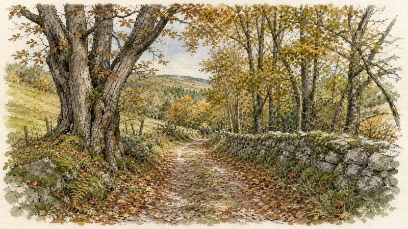
Discover this trail through the heart of Livradois-Forez.
The Beau Pommier Walk
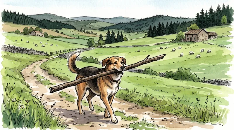
This 8.8 km loop starts and finishes at Bulhon, with 48 m of ascent and an estimated duration of 2 hr 30 min.
Vers la plaine de la Limagne (circuit route n°27)
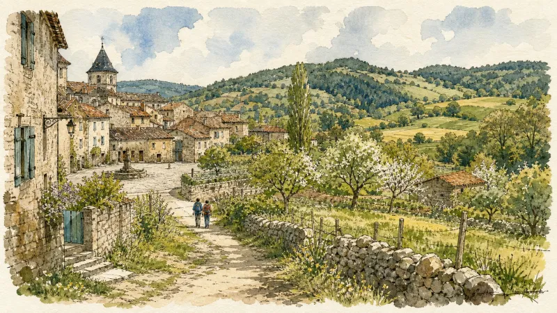
Discover this trail through the heart of Livradois-Forez.

Via Allier (V70), from Vichy to Langeac
The route follows the Allier for 455 km, from its confluence with the Loire near Nevers to Langogne in Lozère, close to its source. Auvergne’s cycle route begins near the celebrated Bec d’Allier, where the Allier meets the Loire and Via Allier meets the Loire à Vélo. It follows the river southwards through countless treasures to the upper Allier gorges, near the source hidden in the Cévennes mountains.
Explore Nearby
Complement your visit to Crevant-Laveine by exploring these neighboring villages.
Bulhon
A contemplative destination where the architectural legacy of the Enlightenment meets the rugged, medieval roots of the Auvergne nobility.
Dorat
A high-plain settlement where the architectural legacy of the Barante dynasty meets a rare fortified sanctuary rising above the Dore valley.
Noalhat
A quiet riverside commune defined by the remnants of a 14th-century Benedictine priory and the gentle flow of the Dore.
Orléat
A landscape of ancient river confluences, where Romanesque frescoes and rare continental dunes meet the creative pulse of contemporary sculpture.


