
Illustration in progress
The silhouette of Dorat is defined by a singular topographical rise, a gentle butte that lifts the village above the surrounding alluvial plains of the Dore. At its summit stands the Église Saint-Étienne, a structure that sheds the typical humility of rural chapels in favor of a fortified, defensive posture. This stone sentinel, once the nucleus of a medieval viguerie mentioned as early as 978, offers a stark architectural contrast to the level horizon. An afternoon spent here allows one to trace the lines of its ancient defenses, feeling the weight of a history where spiritual life and physical protection were inextricably bound.
To the east, the landscape transitions into the storied grounds of the Château de Barante, the ancestral seat of the Brugière de Barante family. This estate remains deeply intertwined with the legacy of Prosper de Barante, the 19th-century historian and diplomat whose intellectual pursuits mirrored the scholarly gravity of the Auvergne nobility. The walls of the domain hold a peculiar secret: the grit of prehistoric megaliths. In a curious medieval appropriation during the 14th century, ancient dolmens were dismantled and their massive slabs integrated into the castle’s fortifications, weaving Neolithic memory into the fabric of a noble residence.
The rhythm of life here is dictated by the slow pulse of the Dore river, which ribbons through the territory and anchors the local ecosystem. Within the protected Natura 2000 zones, the air carries the scent of damp earth and riverbank flora, providing a serene backdrop for quiet contemplation. The commune’s character is further expressed through its scattered hamlets—clusters of stone like Laize and Lavaure—that punctuate the agricultural mosaic. These outposts reflect a traditional rural order, where the land is not merely a vista but a working tapestry of forest and prairie, best observed during a slow transit through the valley.
Local profile
At a Glance
- Population
- 719
- Demonym
- —
- Altitude
- 273–416 m
- Forest
- 32.8%
residents
local residents
lowest to highest
commune coverage
Did You Know?
“The ancient dolmens that once stood to the east were dismantled in the 14th century to incorporate their massive stone slabs into the fortifications of the local castle.”
Cultural Heritage
A quiet village with authentic Auvergne charm.
Recent Wildlife & Flora Log
Nature observations recorded within 5km of Dorat.
Aligot comú
Common Pheasant
7-spot Ladybird
Crosswort
Cardamine pratensis L.
Common Oak
Cypress-leaved Plait-moss
Pleurosticta acetabulum (Neck.) Elix & Lumbsch
Tremella mesenterica (Schaeff.) Pers.
Hammered Shield Lichen
Trails around Dorat
Discover physical challenges and natural beauty in the immediate vicinity.
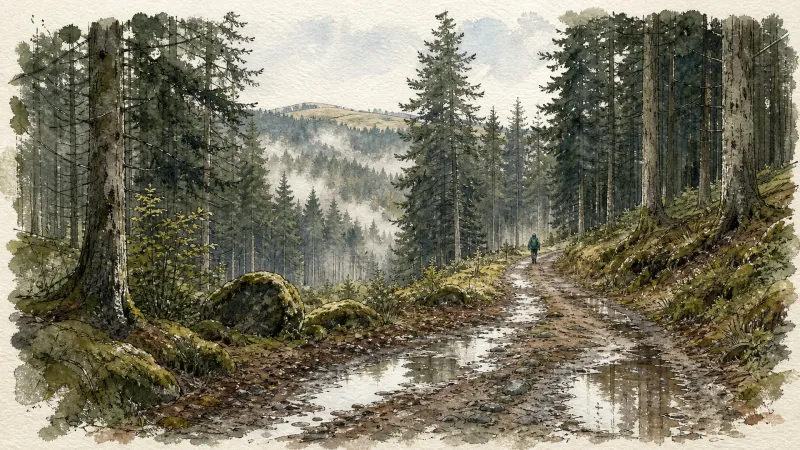
Around Noalhat
D - From the car park behind the Noalhat town hall, take the road on the left. At the T-junction, turn right onto the D44b until the intersection with the D44. Continue on the road opposite towards Paslières. In the village of “Croix des Ferrats” take the road on the left towards Lavaure. The road becomes a path. 1 At the T-junction, turn onto the road on the right. At the next intersection, turn left then right (Église de Paslières). At the exit of the village, take the path on the right. At the next crossroads of 4 paths, turn onto the right to reach the village of “La Ville”. Then take the road on the left until the next crossroads. Cross the road and continue on the main path to the village of “La Meille”. 2 At the next crow’s foot, take the path on the left and continue to the village of “Chez Foury”. In the center of the village, take the path which goes to the right to the village of “Chez Colas”. Then take the asphalt road on the left until you find the D44. 3 Cross it and continue straight on the main road. After the village of “Champ Morel”, continue on the road opposite to reach the car park behind the Noalhat town hall.
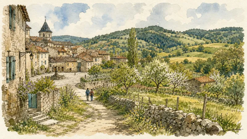
Cité Thiernoise (circuit n°49)
Discover this trail through the heart of Livradois-Forez.
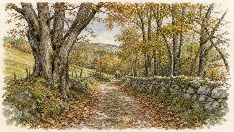
Entre Dore et Allier (circuit route n°1)
Discover this trail through the heart of Livradois-Forez.
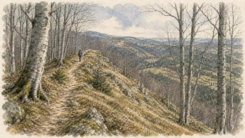
Les berges de la Dore (circuit n°45)
Discover this trail through the heart of Livradois-Forez.
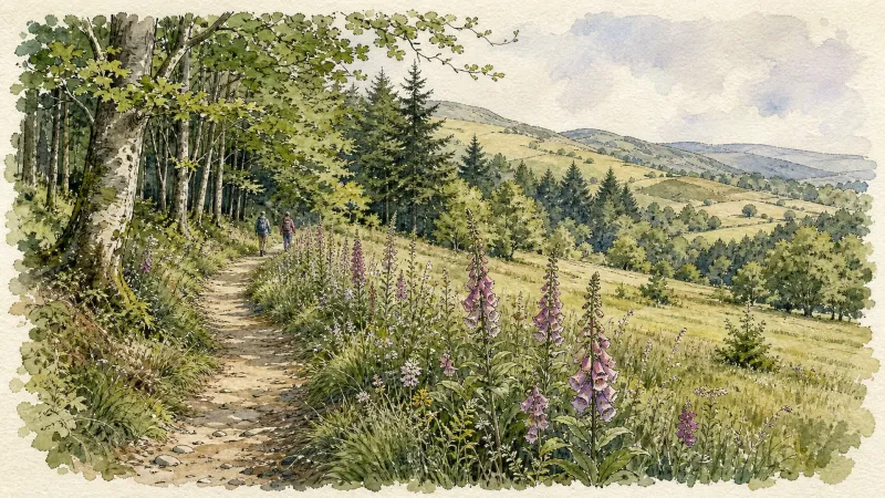
The Néron Trail
An easy walk at the edge of the Limagne plain, wandering through meadows along paths lined with oak and acacia.
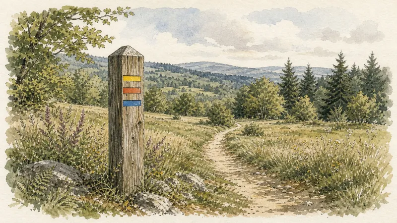
The Dore Riverside
An easy walk, well suited to families with young children. Between ponds and river, it also provides an introduction to aquatic habitats, where many migratory and resident birds can be observed.
Explore Nearby
Complement your visit to Dorat by exploring these neighboring villages.
Crevant-Laveine
A landscape of architectural "folies" and silent memorials, where Enlightenment-era grandeur meets the rural stillness of the Limagne plains.
Noalhat
A quiet riverside commune defined by the remnants of a 14th-century Benedictine priory and the gentle flow of the Dore.
Orléat
A landscape of ancient river confluences, where Romanesque frescoes and rare continental dunes meet the creative pulse of contemporary sculpture.
Paslières
A landscape of verticality and myth where the River Dore meets the dense forests of the Bois Noirs, characterized by 19th-century noble estates and ancient hagiographic legends.
Thiers
A vertical journey through France's blade-making capital, where medieval timber-frames hang over dramatic industrial gorges carved by the Durolle.


