
Elevation Profile
292–411 m
Prendre par la route D 85. Au carrefour suivant, poursuivre à gauche, toujours sur la route, puis tourner dans le premier chemin à droite en direction de Néron. (Point de vue : buttes de la Comté, Château de Mauzun, chaîne des Puys).
(1) Traverser la cour de ferme et prendre en face le large chemin qui conduit à la ferme des Pierres (points de vue successifs : à l'ouest, chaîne des Puys, Mauzun, buttes de la Comté , face, montagnes de St-Victor- Montvianeix, zone de piémont ; très beau témoignage, aux Pierres de l'architecture paysanne avec de magnifiques granges en pisé).
(2) Dépasser la ferme, traverser la route d'accès et poursuivre par le chemin en face. Rejoindre une route et continuer à monter en face direction l'Ollière (point de vue : plaine de Pont- Astier, Orléat, château des Robins, une très belle ferme associe le granit, la maçonnerie de brique et le pisé).
(3) A la route, la prendre à droite sur 250 mètres, puis tourner à droite vers Martin. Le chemin descend ensuite, traverse un bois de pin et longe un étang.
(4) Aux abords de Boudet (granges en pisé), juste avant d'atteindre la route, emprunter l'ancienne voie ferrée à droite pour rejoindre le bourg.
At a Glance
- Duration
- 1.8hrs
- Distance
- 5.9km
- Elevation +
- +116 m
- Elevation -
- -119 m
At a Glance
Live Weather
Departure / Arrival · Dorat
Live conditions
—
Feels like
—
Wind / gusts
—
Visibility
—
Updated: —
Field notes and images
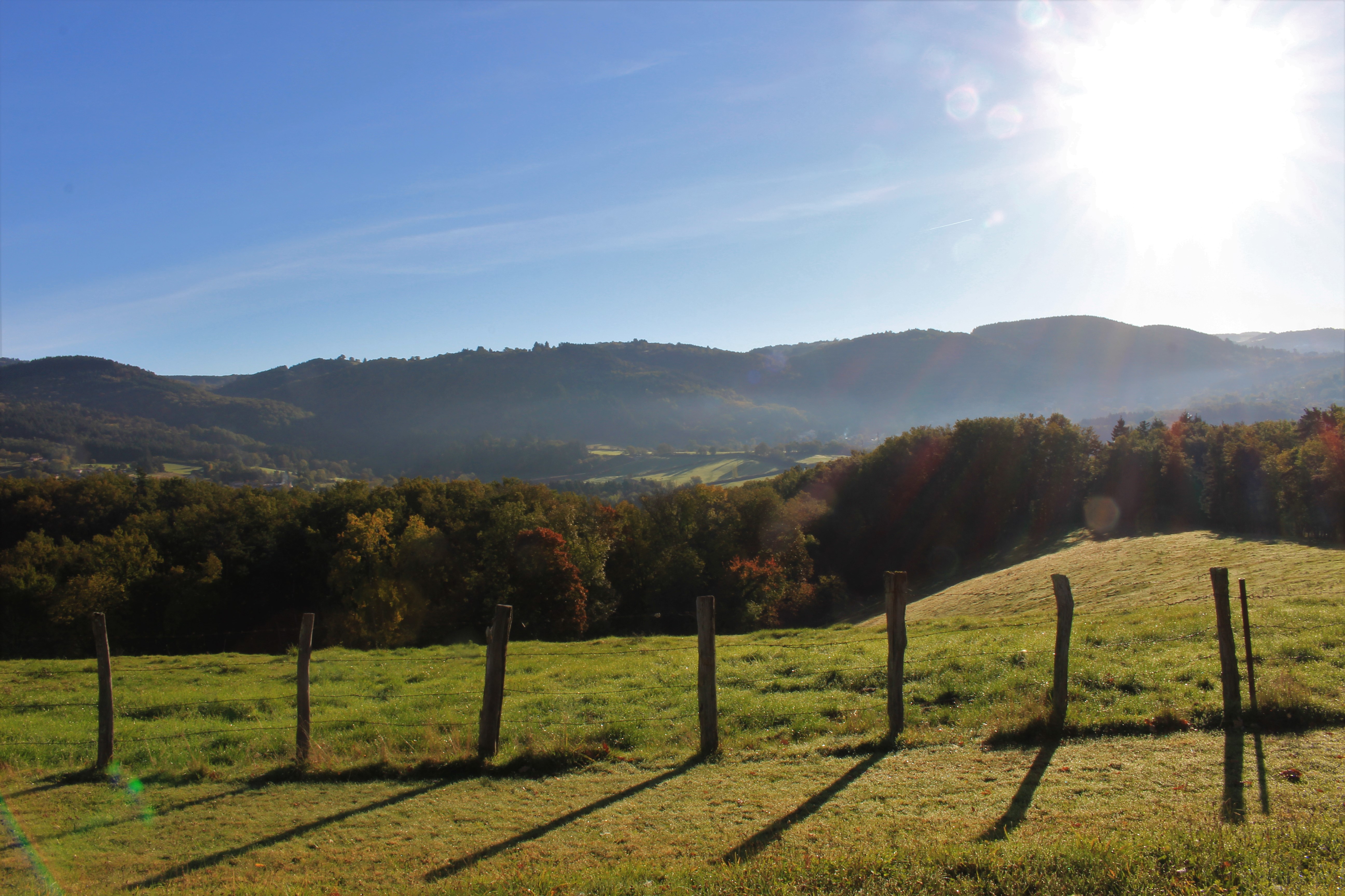
Vue sur les Bois Noirs
Captured by Maison du Tourisme Sébastien Giraud
Explore Nearby
Around Noalhat
D - From the car park behind the Noalhat town hall, take the road on the left. At the T-junction, turn right onto the D44b until the intersection with the D44. Continue on the road opposite towards Paslières. In the village of “Croix des Ferrats” take the road on the left towards Lavaure. The road becomes a path. 1 At the T-junction, turn onto the road on the right. At the next intersection, turn left then right (Église de Paslières). At the exit of the village, take the path on the right. At the next crossroads of 4 paths, turn onto the right to reach the village of “La Ville”. Then take the road on the left until the next crossroads. Cross the road and continue on the main path to the village of “La Meille”. 2 At the next crow’s foot, take the path on the left and continue to the village of “Chez Foury”. In the center of the village, take the path which goes to the right to the village of “Chez Colas”. Then take the asphalt road on the left until you find the D44. 3 Cross it and continue straight on the main road. After the village of “Champ Morel”, continue on the road opposite to reach the car park behind the Noalhat town hall.

Quatre Vents Challenge (Road Circuit No. 14)
One of the shortest circuits designed as a loop from the national cycle-touring centre, this route uses many quiet minor roads. Follow the directions carefully to avoid losing the route. Take particular care on the road after Néronde, especially when turning left off the D906.
Cité Thiernoise (circuit n°49)
Discover this trail through the heart of Livradois-Forez.