
Illustration in progress
The landscape surrounding Charnat unfolds with a quiet, agricultural dignity, situated at the threshold where the rugged elevations of Thiers descend toward the alluvial basins of the Allier. This is a terrain of subtle gradients, ranging from the river-fed lows at 273 meters to modest rises that overlook the surrounding plains. The local architecture reflects a dispersed rhythm, where stone dwellings are separated by wide stretches of arable land and emerald meadows. Moving through the commune, one senses the weight of the ancient “Charnac” of 1277, a name that has weathered seven centuries of linguistic shifts to arrive at its current resonance.
Central to the village’s identity is the parish church, a structure that anchors the scattered hamlets with its stoic presence. While the interior offers a cool, silent refuge for a midday pause, the heraldry of the commune whispers of a more complex past. The presence of the red Templar cross upon the local blason suggests an era of knightly oversight and monastic discipline that once governed these fertile fields. This ecclesiastical severity is curiously balanced by the silver anchor and sailor’s knot depicted in the village arms—a poignant nod to the historic importance of the nearby waterways that facilitated trade and movement long before modern arteries carved through the Puy-de-Dôme.
Wandering the peripheries of the settlement reveals a landscape dominated by the cycles of the earth, where thirty percent of the territory remains dedicated to lush pasturage and fifteen percent is held in the dense grip of native woodland. The air here carries the scent of turned soil and ancient oaks, a sensory reminder of the agrarian continuity documented by local chronicler Marcel Laurent. The lack of urban clamor allows the visitor to hear the subtle rustle of wheat stalks in the breeze, a sound that has defined the Charnatois experience since the Middle Ages. It is a destination for those who seek the unvarnished texture of rural Auvergne, far from the polished artifice of traditional tourism.
Local profile
At a Glance
- Population
- 207
- Demonym
- Charnatois
- Altitude
- 273–309 m
- Forest
- 15.2%
residents
local residents
lowest to highest
commune coverage
Did You Know?
“The village's heraldry features a red Templar cross and a silver anchor, a unique combination hinting at both ancient knightly orders and the historic importance of river navigation.”
Cultural Heritage
A quiet village with authentic Auvergne charm.
Recent Wildlife & Flora Log
Nature observations recorded within 5km of Charnat.
Aligot comú
Common Oak
Cypress-leaved Plait-moss
Pleurosticta acetabulum (Neck.) Elix & Lumbsch
Tremella mesenterica (Schaeff.) Pers.
Hammered Shield Lichen
Spotted Dead-nettle
Common Male Fern
Birch Woodwart
Squirrel-tail Moss
Trails around Charnat
Discover physical challenges and natural beauty in the immediate vicinity.

Découverte de Randan et Maringues (circuit route n°28)
Discover this trail through the heart of Livradois-Forez.
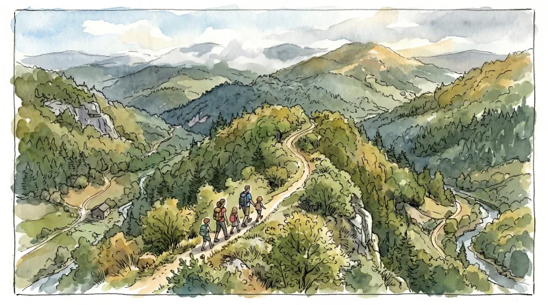
Between the Allier and the Dore
This 9.8 km loop starts and finishes at Charnat, with 61 m of ascent and an estimated duration of 2 hr 45 min.
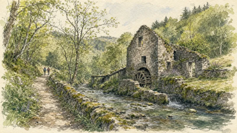
The Bread-Oven Circuit
A walk rich in small-scale built heritage, including bread ovens and rammed-earth buildings.
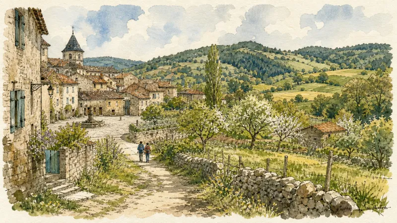
Vers la plaine de la Limagne (circuit route n°27)
Discover this trail through the heart of Livradois-Forez.

Via Allier (V70), from Vichy to Langeac
The route follows the Allier for 455 km, from its confluence with the Loire near Nevers to Langogne in Lozère, close to its source. Auvergne’s cycle route begins near the celebrated Bec d’Allier, where the Allier meets the Loire and Via Allier meets the Loire à Vélo. It follows the river southwards through countless treasures to the upper Allier gorges, near the source hidden in the Cévennes mountains.
Explore Nearby
Complement your visit to Charnat by exploring these neighboring villages.
Limons
A tranquil riverside commune at the confluence of the Allier and Dore, where ancient Merovingian gold and Roman trade routes meet the fertile Limagne plain.
Puy-Guillaume
An industrial river town where Cistercian ruins meet a defiant tradition of local commerce along the banks of the Dore.


