
Illustration in progress
As one ascends the northern perimeter of the Livradois-Forez, the air sharpens, reflecting an environment defined by its dramatic verticality. Here, the Puy de Montoncel stands as a silent sentinel at nearly 1,300 meters, its summit offering a vantage point where the gaze sweeps across the rugged transition between the Auvergne and the Loire. The terrain is dominated by a dense, emerald canopy; forests of spruce and beech claim over half the territory, their roots gripping the granitic bones of the Massif Central. This is a realm of shifting light and high-altitude mists, where the rhythm of the day is dictated by the cooling shadows of the peaks rather than the clock.
Water remains a fundamental architect of the local atmosphere, most notably at the Barrage de la Muratte. This reservoir serves as a reflective mirror for the surrounding woodland, its surface stilled by the shelter of the valley. The stone of the region, weathered and moss-dampened, frames a series of hamlets like Forest and Larmentier, where the architecture remains stoic against the mountain climate. An afternoon spent among these scattered settlements reveals the stark, functional beauty of rural masonry—thick-walled structures designed to endure the heavy snowfalls and persistent rains that characterize this northern enclave.
The historical narrative is punctuated by the decline of the Meaudre de Palladuc lineage, once the noble stewards of these high lands. The final seigneur, Rémy Meaudre, met his end in the distant cold of Saint Petersburg in 1813, leaving behind a legacy of fragmented estates that eventually found administrative independence from Saint-Rémy-sur-Durolle in 1908. Today, the village exudes a quiet, sovereign dignity, removed from the industrial hum of nearby Thiers. It offers a meditative pause for the wanderer, where the rustle of the Durolle’s distant waters and the haunting silhouette of the mountains provide a profound connection to a vanished aristocratic past.
Local profile
At a Glance
- Population
- 517
- Demonym
- —
- Altitude
- 587–1287 m
- Forest
- 57.8%
residents
local residents
lowest to highest
commune coverage
Did You Know?
“The last Lord of Palladuc, Rémy Meaudre, died in exile in Saint Petersburg in 1813 during the Napoleonic era, effectively ending the senior branch of the noble lineage.”
Cultural Heritage
A quiet village with authentic Auvergne charm.
Recent Wildlife & Flora Log
Nature observations recorded within 5km of Palladuc.
Horned delphacid
Cottongrass
Hairy Yellow-Vetch
Common Sheep Sorrel
Ash-black Slug
Black Redstart
Jacobaea adonidifolia (Loisel.) Pelser & Veldkamp
Dock Bug
Anoplotrupes stercorosus (Hartmann, 1791)
Linaria repens (L.) Mill.
Trails around Palladuc
Discover physical challenges and natural beauty in the immediate vicinity.
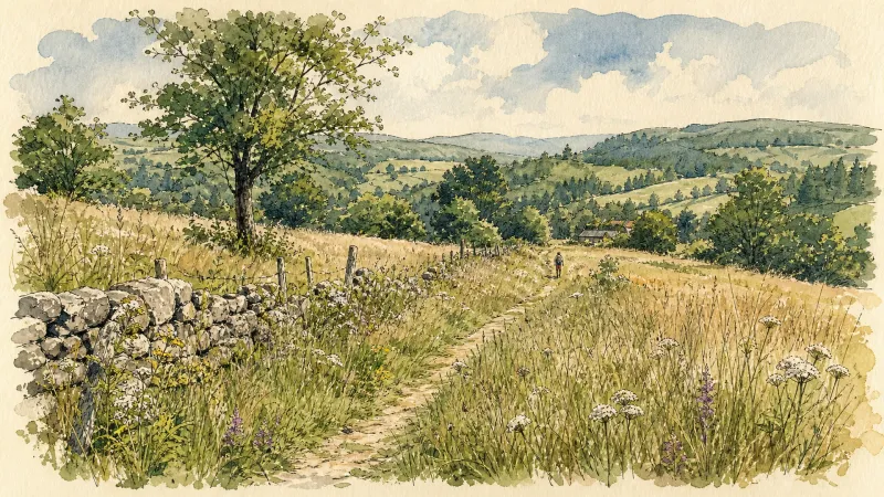
Bariande
This 5.1 km loop starts and finishes at Palladuc, with 179 m of ascent and an estimated duration of 1 hr 18 min.

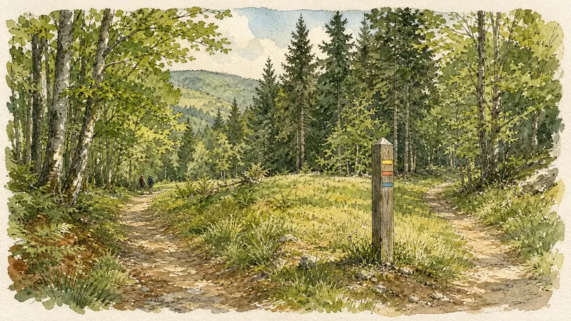
L'appel de la forêt (circuit n°28)
Discover this trail through the heart of Livradois-Forez.
Le barrage de la Muratte (circuit 25)
Discover this trail through the heart of Livradois-Forez.
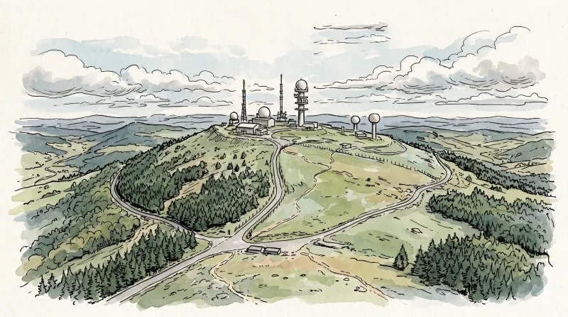
Le calvaire (circuit n°33)
Discover this trail through the heart of Livradois-Forez.
Le Mont Sauvy (circuit n°32)
Discover this trail through the heart of Livradois-Forez.
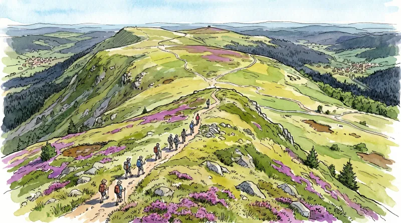
Puy de Montoncel
This woodland walk reaches the summit of Puy de Montoncel, the highest point in the Bois-Noirs at 1,287 m.
Explore Nearby
Complement your visit to Palladuc by exploring these neighboring villages.
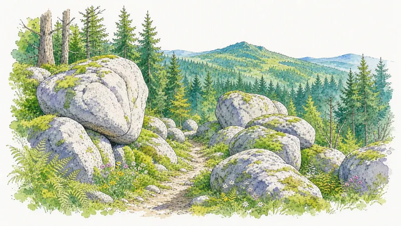
Arconsat
A high-altitude sanctuary in the Bois Noirs, offering a rare encounter with Francoprovençal culture and legendary culinary traditions.
Celles-sur-Durolle
A high-altitude sanctuary where the rugged industrial heritage of the Durolle valley meets the silent, dense forests of the Forez mountains.
La Monnerie-le-Montel
An industrial landscape where the Durolle river powers a legacy of master cutlery and steelwork within the rugged Monts du Forez.
Saint-Rémy-sur-Durolle
A high-altitude sanctuary of industrial precision and Gothic dignity, renowned as the global epicenter for the manufacture of corkscrew spirals.
Saint-Victor-Montvianeix
A rugged ascent into the forested heights of the Thiernoise mountains, where fractured history meets the dramatic basalt gorges of the Credogne valley.


