
Elevation Profile
511–1612 m
Le GR®3 est un sentier mythique. Il suit le cours de la Loire, l’un des derniers fleuves sauvages d’Europe, sur 1200 km. Il démarre à sa source, le Mont Gerbier de Jonc et se poursuit jusqu’à son estuaire Guérande. La portion qui traverse les Monts du Forez vous mènera de panoramas en panoramas, chacun à couper le souffle, entre tourbières, landes, sinueuses rivières et vastes espaces à perte de vue...
At a Glance
- Duration
- 120.0hrs
- Distance
- 120.8km
- Elevation +
- +3281 m
- Elevation -
- -3352 m
At a Glance
Live Weather
Live conditions
—
Feels like
—
Wind / gusts
—
Visibility
—
Updated: —
Live conditions
—
Feels like
—
Wind / gusts
—
Visibility
—
Updated: —
Important Advice
Suivre le balisage de la Fédération Française de Randonnée FFRP.
Ce GR n'est pas praticable durant les périodes d'enneigement.
Field notes and images
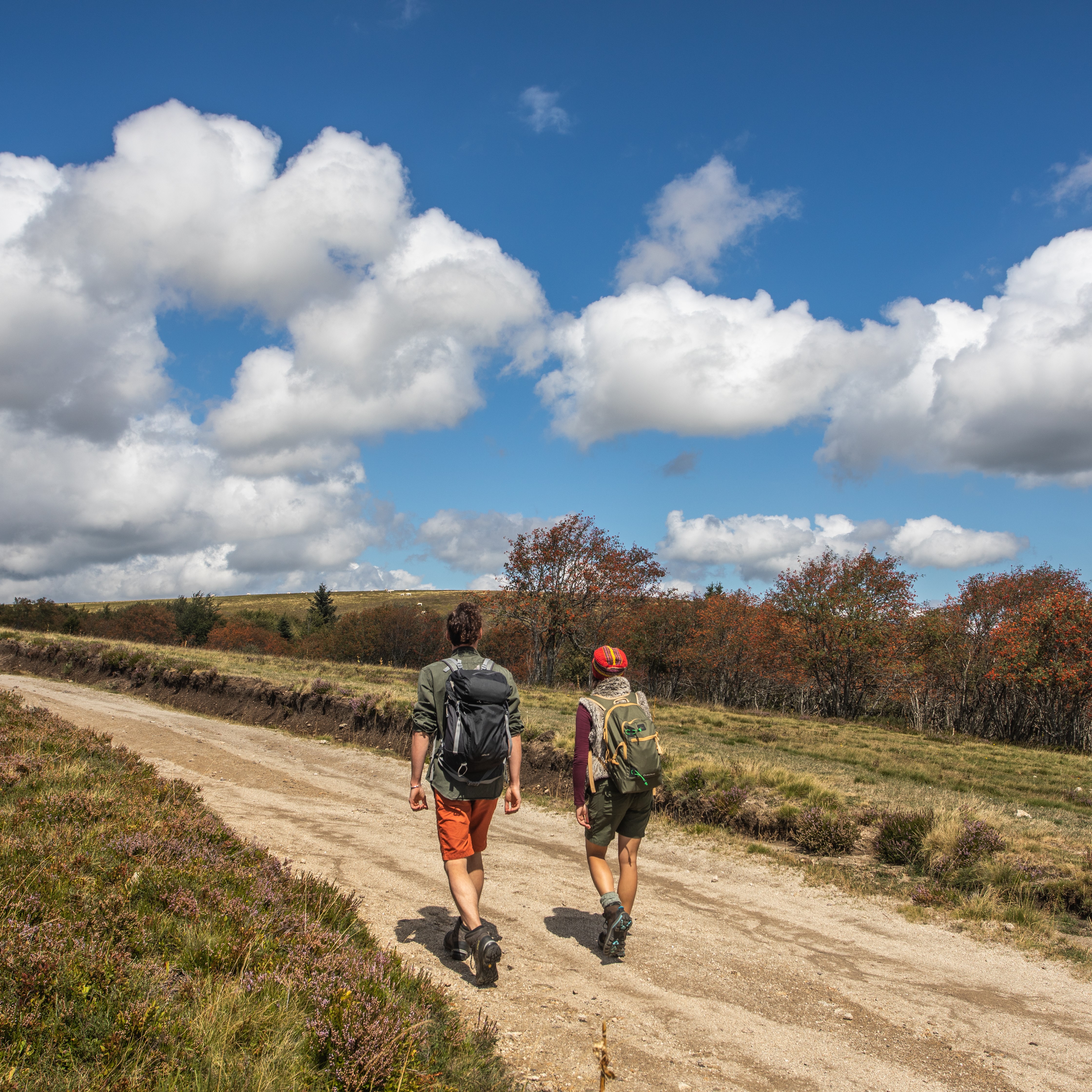
Randonneurs sur les Hautes-Chaumes
Captured by David Frobert
Explore Nearby
2 days of bivouac on Hautes-Chaumes
Between the jasseries, the peat bogs and the panoramas of the Alps on a clear day, here is a bivouac on the volcanic ridges of Livradois-Forez immersed in nature and accessible by train.
Around the Pradeaux dam
Departure: From the Col des Pradeaux, take the path up to the dam. At the next crossroads, take the path uphill on the right. Before the reservoir, take the path on the right and keep the main path until you reach the woods. Cross the woods opposite and continue opposite until the crossroads of 4 paths. 1. Take the path opposite and continue to the dam. Follow the dam on the right. Towards the “tail” of the dam, take a path going down to the left. Continue to follow the dam on the right and cross the 2 wooden footbridges. 2. At the exit of the second footbridge, turn left on the path and continue to follow the dam for 600m. Cross a small stream on the 3rd footbridge, continue opposite for 300m before going up a path on the right to find the path. 3.Take it on the left and continue to pass next to the dam. At the next crossroads, turn left and keep the main path going down to the Col des Pradeaux.
Beauvoir
Le château de La Roue De ce château, il ne subsiste qu’une partie du mur d’enceinte ainsi que la tour carrée visible depuis le village. Ce donjon, dit « Tour de Pierrefort » en hommage au dernier seigneur du lieu « Hérail de Pierrefort La Roue » date du XIVe siècle et fut restauré au XIXe. L’édifice originel remonte probablement au XIIIe siècle. Il s’agissait alors d’un puissant château féodal qui avait sa place dans la ceinture de fortifications qui entourait le comté du Forez. Il fût très tôt la propriété de la famille de la Roue, connue depuis le XIIe siècle et qui dominait la vallée de l’Ance à partir de ses 3 châteaux : La Roue, Montpeloux et La Chaulme.