
Illustration in progress
The ascent toward Isserteaux reveals a landscape dictated by the rugged logic of the Massif Central’s northern fringes. Reaching altitudes of nearly 800 meters, this territory is defined by a radical dispersal of life, where thirty-two distinct hamlets like Bouffevent and La Rochette cling to the volcanic slopes. The atmosphere is governed by a mountain-margin climate, where the air remains sharp and the summers are fleetingly cool. Here, the dominance of open prairie is interrupted only by dense clusters of woodland, covering nearly a third of the commune in a patchwork of deep greens and earthy browns that shift with the seasonal light.
The architectural identity of the village center is anchored by the Église Saint-Pierre, a structure of profound stillness and heavy masonry. Its stone surfaces possess a tactile grit, reflecting a history of endurance against the elements and the passage of centuries. Nearby, the private Château du Léobard introduces a refined verticality to the horizon; commissioned in 1863, its crisp lines and formal proportions stand as a 19th-century aristocratic counterpoint to the ancient, weathered textures of the surrounding farmsteads. These sites do not demand a hurried gaze but rather invite a slow study of how noble ambition and ecclesiastical duty have carved their marks into the difficult terrain.
Water and folklore intersect at the Étang des Maures, a private expanse of water whose name evokes shadows of the distant past. The surrounding countryside, largely preserved as agricultural grazing land, maintains a rhythmic, unhurried pace that feels entirely disconnected from the modern pulse of the nearby urban centers. Traversing the local routes between hamlets such as Puy-Fortuné, one encounters the specific geometry of high-altitude farming—stone walls moss-covered and resilient, and the distant, hazy outlines of the Livradois-Forez peaks. It is a destination for those seeking the unvarnished character of the Auvergne, where the silence is as thick as the forest canopy.
Local profile
At a Glance
- Population
- 416
- Demonym
- Issertois
- Altitude
- 459–789 m
- Forest
- 31%
residents
local residents
lowest to highest
commune coverage
Did You Know?
“The village experiences dramatic climatic shifts, with historical temperature records swinging from a frigid -20°C to a blistering 39.5°C.”
Cultural Heritage
Protected historic monuments in Isserteaux
Eglise Saint-Pierre
Isserteaux
Recent Wildlife & Flora Log
Nature observations recorded within 5km of Isserteaux.
Lamium purpureum L.
Common Wall Lizard
Awnless Geranium
Addersmeat
Lamium album L.
Common Cornsalad
Violet Oil-beetle
European Wasp
Ash-black Slug
Common Raccoon
Trails around Isserteaux
Discover physical challenges and natural beauty in the immediate vicinity.

Weekend Circuit: Égliseneuve-près-Billom–Saint-Jean-des-Ollières
Explore this weekend circuit through the Madet valley, past Château de Mauzun and above Étang des Maures, with fine views of the Chaîne des Puys, the Monts Dore and the Forez mountains.

Entre Comté et Pays d'Issoire (circuit route n°17)
Discover this trail through the heart of Livradois-Forez.
The Bread Oven Circuit 2
Start: From the war memorial, descend and pass to the left of the cross to enter the narrow street towards Le Cheix. 1. At the “La Croix Saint-Barthélemy” sign, turn right and take the grassy track straight ahead; stay on this track as it descends to Étang de la Gravière. Cross the dam and, at the end, continue straight ahead; follow the track past the bread oven and, 10 m further on, take the track climbing to the left. At the road, take the grassy track straight ahead and descend to Le Pic (view of Château de Mauzun straight ahead, with the Monts du Forez and Pierre-sur-Haute slightly to the right). Cross the hamlet and, by the bread oven, turn right onto the road and descend to Étang du Pic. 2. By the pond, continue on the road to the right (view of the Monts du Forez on the left). Cross the D 7 and take the grassy track straight ahead between the fences. At the surfaced section, continue straight ahead (view of the village of Fayet-le-Château). 150 m further on, take a broom-lined track on the right between the meadows. At the bottom, turn left (ignore the road) and follow the stream. At Le Montheil, continue straight ahead past the bread oven and, on leaving, turn right to reach the D 337, then follow it to the right. 3. 500 m further on, take the track branching to the left. At La Farge, turn right and rejoin the D 337, following it to the left (view of Château de Seymiers on the right). After passing Lachamp, take the first track on the left alongside a pond. At the fork, turn right (view of Puy de Dôme). Stay on the main track throughout. 4. At the end (shortcut: turn right onto the track at the surfaced section and descend to the D 337), follow the track straight ahead (views of the Massif du Sancy and the Chaîne des Puys) and continue straight ahead to Le Pereyret. Pass the bread oven and cross the hamlet to the D 337. Follow it to the right for 10 m, then turn right again onto a track just above the fountain. 5. At the D 337, follow it slightly to the right, pass La Jarrige (bread oven on your left), then a pond, and continue on the D 337. Climb straight ahead to Coissard. Cross the hamlet to reach the D 337. Cross it and take the track descending straight ahead (views of Château de Mauzun and Thiers; an optional return trip on the left leads to Les 3 Pierres). At the fork, climb to the right and continue to the D 337. Follow it to the left to return to the starting point.
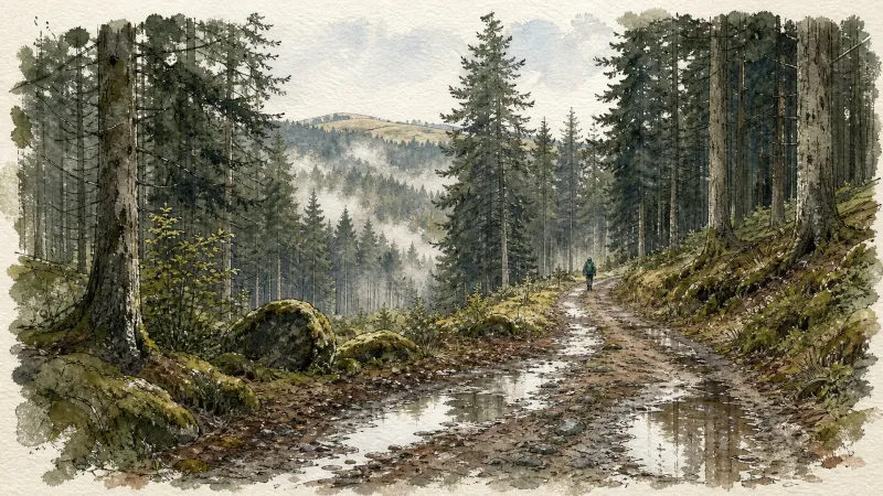
Puy de Courdeloup
Start 30 m after the church; park in the spaces beside the telephone box. Facing the inn, take the street descending to the right, which becomes a stony track (view of Puy de Courdeloup straight ahead, on the wooded side of the Puy). (1) At the end of the track, follow the D 9 straight ahead, ignore the first track, then take the second track climbing to the left (views of the Massif du Sancy and Puy de Dôme). Continue on the same track alongside Puy de Courdeloup on the right (view of Saint-Jean-des-Ollières in the foreground, the Monts du Forez beyond straight ahead, and Château de Seymier on the left). (2) At the crossroads of 4 tracks, branch right towards Puy de Courdeloup and continue on the main track (low walls marking the plots where livestock once grazed; today, hornbeams or pollarded trees have reclaimed these walls by growing on them). At the next junction (view of the basalt rock formation of Puy de Courdeloup on the right), bear slightly right and stay on the main track. (3) At the D 9 (view of the Massif du Sancy), follow it to the left (view of Pic de la Garde, its rocky scree and the statue of the Virgin on the left). Ignore the road heading left in the village of Bourgis and, at the house (place known as Bioge), take the grassy track on the right descending into the valley to reach the hamlet of Le Gacard. Enter the hamlet, pass the bread oven on the right and continue straight ahead. (4) On leaving the village (view of Puy de Dôme), before the farm buildings, take the track descending to the right, cross the Bouchisse stream and climb to the hamlet of Bouchiche. (5) In the village, take the surfaced track climbing to the left, pass around the hairpin bend to the right (view of Puy de Courdeloup on the right and Isserteaux), then take the track on the left. At the junction, take the first stony track descending to the right as far as the road. At the road, turn right to enter the hamlet of Champorent. (6) Cross the hamlet and take the grassy track straight ahead. At the top of the rise, join a broader track and follow it to the right (view of Puy de Dôme). Cross the village of Montagnet (ruined village), then continue on the main track (view of the Massif du Sancy on the left). (7) Cross the hamlet of La Rochette to the D53, follow it to the left for 50 m, then take the first track on the right alongside Montjoux (cross). At the entrance to Isserteaux, continue straight ahead past the apse of the church. At the war memorial, turn left to return to the inn.
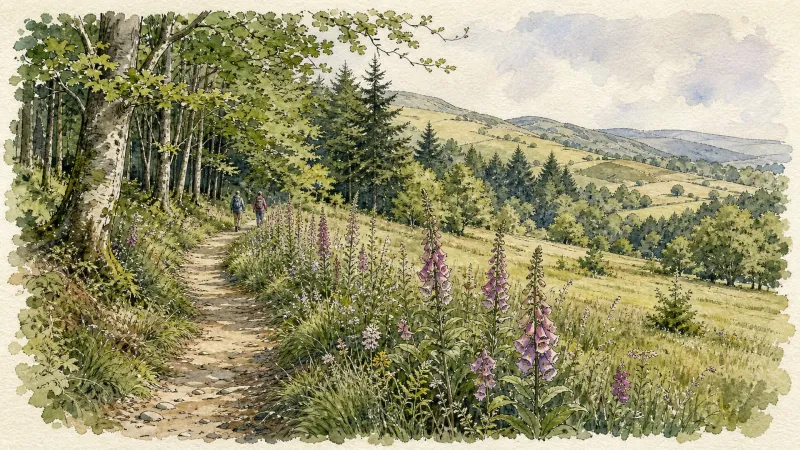
The Maures pond
From the picnic area, go down the road towards Coissard/Puyfoulhoux (ignore the road which goes to Champciaux on the right) (view of Coppel castle on the right). 300 m further, take the first path which rises on the left. (1) Cross the road and continue to climb opposite, the road becomes a path (view of the Coppel castle in the foreground, Clermont-Fd and the Puys chain in the background, back to you: view of the Montmorin castle and its church on the cliffside, Billom and the two Turleuros). (2) Cross the hamlet of Plaines and continue straight on the same small road. At a bend, continue straight on a stony path towards the Etang des Maures. (3) At the edge of the pond, at the road, turn right to follow the dike(beautiful house with its dovecote). Continue on the small road, leave a path on the left which runs along the pond and continue towards Segnoux. (4) In Segnoux, at the bread oven, turn right (leave the street which goes to the right) and continue opposite between the houses, the road becomes a grassy path and continue straight on. At the exit (view of the ruined castle of Coppel, the Puys chain, the two Turleuros on the left, the Limagne plain opposite, and the castle of Montmorin on the right), continue straight on on a sunken path through the woods. (5) At the first house of Serpanoux, turn left to enter the hamlet. 20 m further, leave the D 14 on the left and continue opposite to cross the hamlet. Continue on this good path to the road (view of the Montmorin castle and the church opposite and to the left: the ruins of the Coppel castle in the foreground, Clermont-Ferrand, the Puys chain and the Puy de Dôme in the background). (6) At the road, continue to climb opposite to reach the picnic area (possibility of a return trip to the castle from Montmorin (2 km, 30 min): 50 m before the picnic area, take a gravel path on the left to go up and access the castle).
Explore Nearby
Complement your visit to Isserteaux by exploring these neighboring villages.
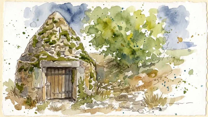
Fayet-le-Château
A high-altitude granite sanctuary where ancient beech forests meet the remnants of a master stone-cutting heritage and prehistoric megaliths.
Manglieu
A profound encounter with Merovingian history and Romanesque architecture, where ancient marble columns and cinematic legends reside within a high-altitude monastic enclave.
Montmorin
A high-altitude feudal stronghold offering a vertical journey through Auvergne’s noble past, anchored by a fortress that once commanded the strategic routes of the Livradois-Forez.
Saint-Jean-des-Ollières
A journey into the volcanic heights of the Livradois, where ancient basaltic flows and the curious history of the "Piqueurs"—itinerant masters of disguise—converge.
Saint-Julien-de-Coppel
An evocative landscape of volcanic promontories and medieval fragments, ideal for an afternoon investigating Romanesque ruins and high-altitude vistas.
Sallèdes
A landscape where Italian Renaissance ambition meets the rugged timber of the Bois de la Comté, anchored by a singular, haunting fortress.
Sugères
A high-altitude pastoral expanse where scattered stone hamlets and ancient forests define the rugged soul of the Livradois-Forez.


