
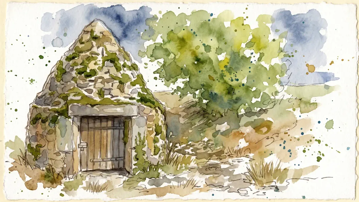
Ascending to this granite plateau, one is immediately enveloped by the legacy of the Fagus—the ancient beech trees that define the horizon and lend the commune its name. The air at 650 meters carries a distinct mountain coolness, even in the height of summer, circulating through the dense timber that dominates nearly a third of the landscape. This is a realm of solid foundations, where the very earth pushes upward in rugged outcroppings, providing a stark, dignified contrast to the softer valleys below. The quietude of the forest offers a meditative backdrop for a slow afternoon wandering among the silver-barked sentinels of the Livradois.
The hamlet of Le Cheix serves as a silent witness to a rigorous industrial past, its name derived from the North-Occitan term for a rocky mass. Once a thriving hive of quarrymen and master stonemasons, the village extracted the raw granite that paved the thoroughfares of the region. Today, the activity has vanished, leaving behind a sparse, hauntingly beautiful collection of dwellings that showcase the exacting skill of those who shaped the stone. Examining the lintels and cornerstones of these structures reveals the grit and precision of a vanished trade, where every block was a testament to the endurance of the Castelfayettois laborers who grappled with the glacier-borne boulders.
Deep within the valleys, the landscape shifts from the industrial to the mystical, where gargantuan granite monoliths exceed five meters in height. These prehistoric formations, most notably the Trois Pierres, appear as impossible balancing acts of nature, likely serving as focal points for animist rituals long before the Arverne tribes asserted their dominance. The transition from these ancient, lichen-covered altars to the consecrated walls of the Church of Saint-Barthélémy illustrates a long continuum of spiritual significance. The church itself, a fusion of 12th-century austerity and 15th-century refinement, stands as a final architectural anchor for those seeking to trace the intersection of geological wonder and human devotion.
Local profile
At a Glance
- Population
- 381
- Demonym
- Castelfayettois
- Altitude
- 490–760 m
- Forest
- 27.9%
residents
local residents
lowest to highest
commune coverage
Did You Know?
“The 'Trois Pierres' site features three massive monolithes balanced in a way that appears to defy gravity, likely serving as a sacred site for the prehistoric Arverne tribes.”
Cultural Heritage
Protected historic monuments in Fayet-le-Château
Château de Seymiers
Fayet-le-Château
Recent Wildlife & Flora Log
Nature observations recorded within 5km of Fayet-le-Château.
Lamium purpureum L.
Common Wall Lizard
Awnless Geranium
Addersmeat
Lamium album L.
Common Cornsalad
Violet Oil-beetle
European Wasp
Western Green Lacerta
Hawfinch
Trails around Fayet-le-Château
Discover physical challenges and natural beauty in the immediate vicinity.
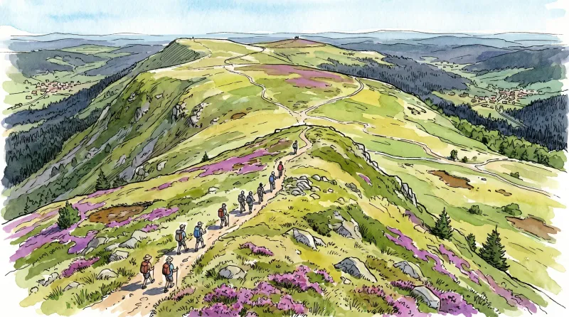
Livradois Circuit — The Châteaux of Livradois (Loop No. 4)
This circuit offers a journey through time, from the Gallo-Roman period to the age of knights.

Weekend Circuit: Égliseneuve-près-Billom–Saint-Jean-des-Ollières
Explore this weekend circuit through the Madet valley, past Château de Mauzun and above Étang des Maures, with fine views of the Chaîne des Puys, the Monts Dore and the Forez mountains.
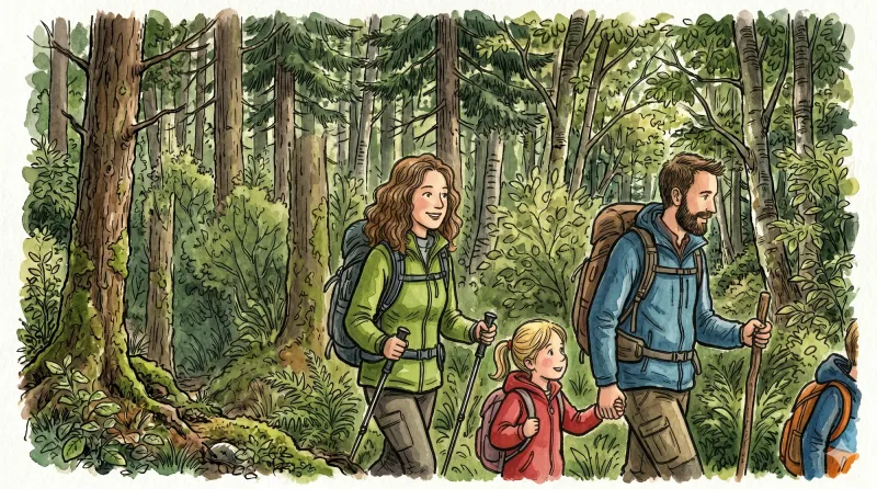
Entre Comté et Pays d'Issoire (circuit route n°17)
Discover this trail through the heart of Livradois-Forez.
The Bread Oven Circuit 2
Start: From the war memorial, descend and pass to the left of the cross to enter the narrow street towards Le Cheix. 1. At the “La Croix Saint-Barthélemy” sign, turn right and take the grassy track straight ahead; stay on this track as it descends to Étang de la Gravière. Cross the dam and, at the end, continue straight ahead; follow the track past the bread oven and, 10 m further on, take the track climbing to the left. At the road, take the grassy track straight ahead and descend to Le Pic (view of Château de Mauzun straight ahead, with the Monts du Forez and Pierre-sur-Haute slightly to the right). Cross the hamlet and, by the bread oven, turn right onto the road and descend to Étang du Pic. 2. By the pond, continue on the road to the right (view of the Monts du Forez on the left). Cross the D 7 and take the grassy track straight ahead between the fences. At the surfaced section, continue straight ahead (view of the village of Fayet-le-Château). 150 m further on, take a broom-lined track on the right between the meadows. At the bottom, turn left (ignore the road) and follow the stream. At Le Montheil, continue straight ahead past the bread oven and, on leaving, turn right to reach the D 337, then follow it to the right. 3. 500 m further on, take the track branching to the left. At La Farge, turn right and rejoin the D 337, following it to the left (view of Château de Seymiers on the right). After passing Lachamp, take the first track on the left alongside a pond. At the fork, turn right (view of Puy de Dôme). Stay on the main track throughout. 4. At the end (shortcut: turn right onto the track at the surfaced section and descend to the D 337), follow the track straight ahead (views of the Massif du Sancy and the Chaîne des Puys) and continue straight ahead to Le Pereyret. Pass the bread oven and cross the hamlet to the D 337. Follow it to the right for 10 m, then turn right again onto a track just above the fountain. 5. At the D 337, follow it slightly to the right, pass La Jarrige (bread oven on your left), then a pond, and continue on the D 337. Climb straight ahead to Coissard. Cross the hamlet to reach the D 337. Cross it and take the track descending straight ahead (views of Château de Mauzun and Thiers; an optional return trip on the left leads to Les 3 Pierres). At the fork, climb to the right and continue to the D 337. Follow it to the left to return to the starting point.
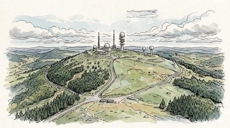
The Madet Valley
From the car park below the hamlet, descend the road towards Bouys. (1) In the valley, just before the farm, cross the bridge on the left and continue on the track climbing to the left. At the junction, climb the track at right angles on the right. Stay on this good track all the way to Arlanges (view of Château de Mauzun). In the hamlet (winegrowers’ houses), continue on the road (view to the right over the Madet Valley, the châteaux of Coppel, Busséol and Montmorin, Puy Saint-Romain, the Chaîne des Puys, Clermont-Ferrand, Billom and the two Turlurons). (2) 150 m before Le Pereyret, leave the road and turn right onto a track descending between two fences. Continue on this same track through the woods (seat-shaped rock). (3) At the next junction, descend to the right on a faint, fitted-out path (log steps: the descent is dangerous in wet weather). Stay on this same path to the stream, then turn left. (4) Use the footbridge to cross the Madet stream; climb the track on the left. (5) At the fork, descend to the left towards the Madet. At the mill ruins, take the path on the right. Climb above a rocky section, then at the fork turn left to descend to the river (the descent is fitted out on the right, but the steps are slippery in wet weather) and follow the stream. Beneath the ruined tower, at the fork, take the sometimes-paved track climbing in bends to the right and stay on this same track. (6) At the first houses of Les Loubatoux, take the track climbing to the right; at the road, continue straight ahead into the hamlet, then turn right. Follow the D 307 to the right. (7) Take the first track on the right (views of the Chaîne des Puys and the Massif du Sancy). At the junction (view straight ahead over the Madet Valley), continue climbing to the left (at the top of the hill on your left: panorama and orientation table). Continue on the same track, then at the junction turn left to the D 307. Follow it to the right to the village of Train (winegrowing village), then continue on the same road to the starting point.
Bas-Livradois (Road Circuit No. 4)
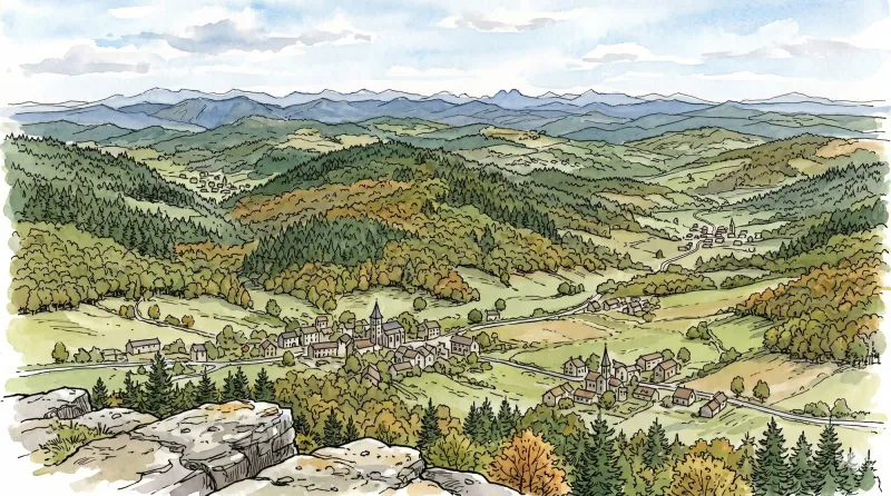
After admiring the Romanesque priory church at Glaine-Montaigut, pause in Billom, a beautiful medieval town, before climbing the first Livradois foothills to Château de Montmorin and the imposing fortress of Mauzun.
Explore Nearby
Complement your visit to Fayet-le-Château by exploring these neighboring villages.
Égliseneuve-près-Billom
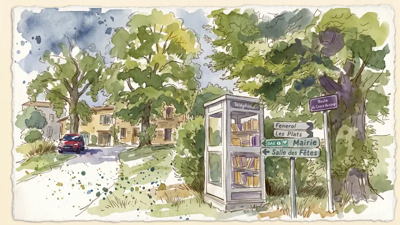
A landscape of scattered hamlets and rolling meadows where Revolutionary history meets the quiet intensity of the Livradois-Forez.
Estandeuil
A serene landscape of high meadows and medieval remnants, where a 12th-century fortress and a historic church stand amidst the deep forests of the Livradois.
Isserteaux
A high-altitude landscape of dispersed hamlets and volcanic slopes, where Romanesque masonry and 19th-century estates overlook the rugged Livradois-Forez.
Mauzun
A formidable journey into the ruins of Auvergne’s most expansive medieval fortress, where basalt peaks meet the echoes of episcopal power.
Montmorin
A high-altitude feudal stronghold offering a vertical journey through Auvergne’s noble past, anchored by a fortress that once commanded the strategic routes of the Livradois-Forez.
Saint-Jean-des-Ollières
A journey into the volcanic heights of the Livradois, where ancient basaltic flows and the curious history of the "Piqueurs"—itinerant masters of disguise—converge.


