
Elevation Profile
577–699 m
Start: From the war memorial, descend and pass to the left of the cross to enter the narrow street towards Le Cheix.
1. At the “La Croix Saint-Barthélemy” sign, turn right and take the grassy track straight ahead; stay on this track as it descends to Étang de la Gravière. Cross the dam and, at the
end, continue straight ahead; follow the track past the bread oven and, 10 m further on, take the track climbing to the left. At the road, take the grassy track straight ahead and descend to Le Pic (view of Château de Mauzun straight ahead, with the Monts du Forez and Pierre-sur-Haute slightly to the right). Cross the hamlet and, by the bread oven, turn right onto the road and descend to Étang du Pic.
2. By the pond, continue on the road to the right (view of the Monts du Forez on the left). Cross the D 7 and take the grassy track straight ahead between the fences. At the surfaced section, continue straight ahead (view of the village of Fayet-le-Château). 150 m further on, take a broom-lined track on the right between the meadows. At the bottom, turn left (ignore the road) and follow the stream. At Le Montheil, continue straight ahead past the bread oven and, on leaving, turn right to reach the D 337, then follow it to the right.
3. 500 m further on, take the track branching to the left. At La Farge, turn right and rejoin the D 337, following it to the left (view of Château de Seymiers on the right). After passing Lachamp, take the first track on the left alongside a pond. At the fork, turn right (view of Puy de Dôme). Stay on the main track throughout.
4. At the end (shortcut: turn right onto the track at the surfaced section and descend to the D 337), follow the track straight ahead (views of the Massif du Sancy and the Chaîne des Puys) and continue straight ahead to Le Pereyret. Pass the bread oven and cross the hamlet to the D 337. Follow it to the right for 10 m, then turn right again onto a track just above the fountain.
5. At the D 337, follow it slightly to the right, pass La Jarrige (bread oven on your left), then a pond, and continue on the D 337. Climb straight ahead to Coissard. Cross the hamlet to reach the D 337. Cross it and take the track descending straight ahead (views of Château de Mauzun and Thiers; an optional return trip on the left leads to Les 3 Pierres). At the fork, climb to the right and continue to the D 337. Follow it to the left to return to the starting point.
At a Glance
- Duration
- 3.5hrs
- Distance
- 13.0km
- Elevation +
- +333 m
- Elevation -
- -330 m
At a Glance
Live Weather
Departure / Arrival · Fayet-le-château
Live conditions
—
Feels like
—
Wind / gusts
—
Visibility
—
Updated: —
Field notes and images
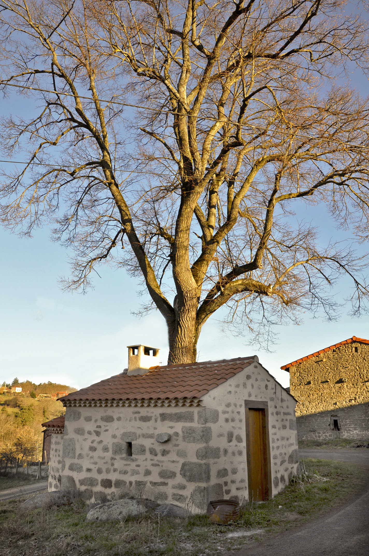
Four du Montheil à Fayet
Captured by Billom Communauté
Explore Nearby
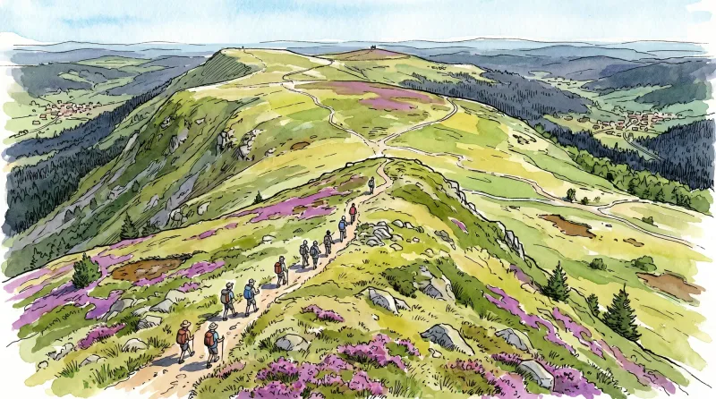
Livradois Circuit — The Châteaux of Livradois (Loop No. 4)
This circuit offers a journey through time, from the Gallo-Roman period to the age of knights.

Weekend Circuit: Égliseneuve-près-Billom–Saint-Jean-des-Ollières
Explore this weekend circuit through the Madet valley, past Château de Mauzun and above Étang des Maures, with fine views of the Chaîne des Puys, the Monts Dore and the Forez mountains.

Entre Comté et Pays d'Issoire (circuit route n°17)
Discover this trail through the heart of Livradois-Forez.