
Illustration in progress
The skyline of Montmorin is dominated by the stern silhouette of its medieval fortress, a sentinel of volcanic stone and weathered mortar that has watched over the region since the twelfth century. This site served as the ancestral seat for the House of Montmorin, an influential dynasty whose lineage remained entwined with these lands for nearly eight hundred years. Those who walk the ancient ramparts encounter the tactile history of the region, where the cold grip of the feudal age is felt in the thick masonry and the strategic orientation of the towers. Within the walls, a curated museum offers a window into the daily rhythms of the seigneury, detailing the transition from a defensive military outpost to a noble residence of significant cultural weight.
Rising to an altitude of over seven hundred meters, the terrain creates a natural observatory overlooking the undulating basin of Billom. The landscape is a mosaic of high-altitude prairies and dense woodland, where the air shifts with the elevation and the scents of pine and damp earth predominate. Wandering through the scattered hamlets, one observes a rural architecture dictated by the slope, with stone houses built to withstand the rigorous mountain-margin climate. The expansive panorama from the chemin de ronde reveals the jagged horizons of the Massif Central, a vista that clarifies why medieval tacticians selected this specific promontory to control the thoroughfares between the Limagne plain and the deeper forests.
The historical narrative of the commune is marked by moments of radical transformation, most notably during the revolutionary period when it was purged of its seigneurial identity. This shift from a feudal bastion to a republican outpost provides a sharp contrast to the silent, enduring presence of the castle ruins. Today, a quieter, more lyrical energy permeates the village, perhaps best exemplified by the legacy of jazz musician Alain Gibert, who sought the quietude of these heights and now rests in the local soil. An afternoon spent navigating the narrow lanes and forest fringes allows for a contemplation of these layered identities—from the heraldic lion of the Montmorin arms to the rhythmic modernism of contemporary Auvergne culture.
Discoveries in Montmorin
One place from our guide is in this commune.
- Château de Montmorin
Local profile
At a Glance
- Population
- 731
- Demonym
- —
- Altitude
- 370–703 m
- Forest
- 29%
residents
local residents
lowest to highest
commune coverage
Did You Know?
“During the French Revolution, the commune was stripped of its aristocratic name and rechristened "Mont-Libre" to align with republican ideals.”
Cultural Heritage
Protected historic monuments in Montmorin
Eglise de la Vialle
Montmorin
Ensemble des ruines du château fort
Montmorin
Recent Wildlife & Flora Log
Nature observations recorded within 5km of Montmorin.
Lamium purpureum L.
Common Wall Lizard
Awnless Geranium
Addersmeat
Lamium album L.
Common Cornsalad
February daphne
Western Green Lacerta
Corzo
Silver-washed Fritillary
Trails around Montmorin
Discover physical challenges and natural beauty in the immediate vicinity.
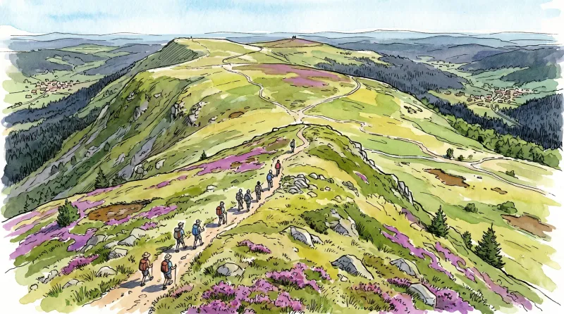
Livradois Circuit — The Châteaux of Livradois (Loop No. 4)
This circuit offers a journey through time, from the Gallo-Roman period to the age of knights.

Weekend Circuit: Égliseneuve-près-Billom–Saint-Jean-des-Ollières
Explore this weekend circuit through the Madet valley, past Château de Mauzun and above Étang des Maures, with fine views of the Chaîne des Puys, the Monts Dore and the Forez mountains.
The Bread Oven Circuit 2
Start: From the war memorial, descend and pass to the left of the cross to enter the narrow street towards Le Cheix. 1. At the “La Croix Saint-Barthélemy” sign, turn right and take the grassy track straight ahead; stay on this track as it descends to Étang de la Gravière. Cross the dam and, at the end, continue straight ahead; follow the track past the bread oven and, 10 m further on, take the track climbing to the left. At the road, take the grassy track straight ahead and descend to Le Pic (view of Château de Mauzun straight ahead, with the Monts du Forez and Pierre-sur-Haute slightly to the right). Cross the hamlet and, by the bread oven, turn right onto the road and descend to Étang du Pic. 2. By the pond, continue on the road to the right (view of the Monts du Forez on the left). Cross the D 7 and take the grassy track straight ahead between the fences. At the surfaced section, continue straight ahead (view of the village of Fayet-le-Château). 150 m further on, take a broom-lined track on the right between the meadows. At the bottom, turn left (ignore the road) and follow the stream. At Le Montheil, continue straight ahead past the bread oven and, on leaving, turn right to reach the D 337, then follow it to the right. 3. 500 m further on, take the track branching to the left. At La Farge, turn right and rejoin the D 337, following it to the left (view of Château de Seymiers on the right). After passing Lachamp, take the first track on the left alongside a pond. At the fork, turn right (view of Puy de Dôme). Stay on the main track throughout. 4. At the end (shortcut: turn right onto the track at the surfaced section and descend to the D 337), follow the track straight ahead (views of the Massif du Sancy and the Chaîne des Puys) and continue straight ahead to Le Pereyret. Pass the bread oven and cross the hamlet to the D 337. Follow it to the right for 10 m, then turn right again onto a track just above the fountain. 5. At the D 337, follow it slightly to the right, pass La Jarrige (bread oven on your left), then a pond, and continue on the D 337. Climb straight ahead to Coissard. Cross the hamlet to reach the D 337. Cross it and take the track descending straight ahead (views of Château de Mauzun and Thiers; an optional return trip on the left leads to Les 3 Pierres). At the fork, climb to the right and continue to the D 337. Follow it to the left to return to the starting point.
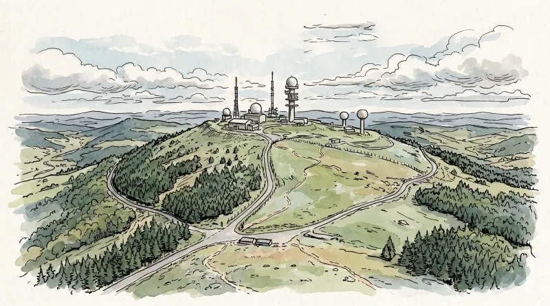
The Madet Valley
From the car park below the hamlet, descend the road towards Bouys. (1) In the valley, just before the farm, cross the bridge on the left and continue on the track climbing to the left. At the junction, climb the track at right angles on the right. Stay on this good track all the way to Arlanges (view of Château de Mauzun). In the hamlet (winegrowers’ houses), continue on the road (view to the right over the Madet Valley, the châteaux of Coppel, Busséol and Montmorin, Puy Saint-Romain, the Chaîne des Puys, Clermont-Ferrand, Billom and the two Turlurons). (2) 150 m before Le Pereyret, leave the road and turn right onto a track descending between two fences. Continue on this same track through the woods (seat-shaped rock). (3) At the next junction, descend to the right on a faint, fitted-out path (log steps: the descent is dangerous in wet weather). Stay on this same path to the stream, then turn left. (4) Use the footbridge to cross the Madet stream; climb the track on the left. (5) At the fork, descend to the left towards the Madet. At the mill ruins, take the path on the right. Climb above a rocky section, then at the fork turn left to descend to the river (the descent is fitted out on the right, but the steps are slippery in wet weather) and follow the stream. Beneath the ruined tower, at the fork, take the sometimes-paved track climbing in bends to the right and stay on this same track. (6) At the first houses of Les Loubatoux, take the track climbing to the right; at the road, continue straight ahead into the hamlet, then turn right. Follow the D 307 to the right. (7) Take the first track on the right (views of the Chaîne des Puys and the Massif du Sancy). At the junction (view straight ahead over the Madet Valley), continue climbing to the left (at the top of the hill on your left: panorama and orientation table). Continue on the same track, then at the junction turn left to the D 307. Follow it to the right to the village of Train (winegrowing village), then continue on the same road to the starting point.
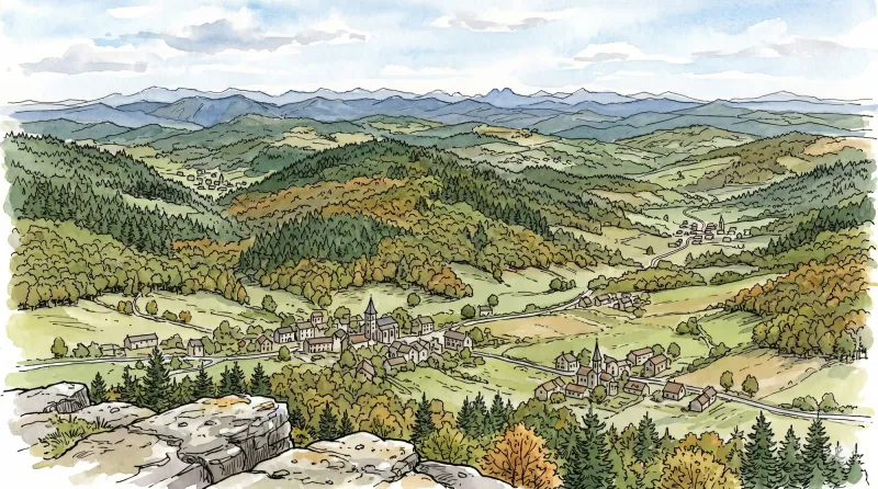
Bas-Livradois (Road Circuit No. 4)
After admiring the Romanesque priory church at Glaine-Montaigut, pause in Billom, a beautiful medieval town, before climbing the first Livradois foothills to Château de Montmorin and the imposing fortress of Mauzun.
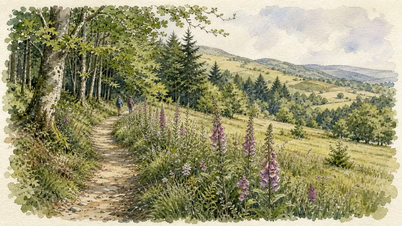
The Maures pond
From the picnic area, go down the road towards Coissard/Puyfoulhoux (ignore the road which goes to Champciaux on the right) (view of Coppel castle on the right). 300 m further, take the first path which rises on the left. (1) Cross the road and continue to climb opposite, the road becomes a path (view of the Coppel castle in the foreground, Clermont-Fd and the Puys chain in the background, back to you: view of the Montmorin castle and its church on the cliffside, Billom and the two Turleuros). (2) Cross the hamlet of Plaines and continue straight on the same small road. At a bend, continue straight on a stony path towards the Etang des Maures. (3) At the edge of the pond, at the road, turn right to follow the dike(beautiful house with its dovecote). Continue on the small road, leave a path on the left which runs along the pond and continue towards Segnoux. (4) In Segnoux, at the bread oven, turn right (leave the street which goes to the right) and continue opposite between the houses, the road becomes a grassy path and continue straight on. At the exit (view of the ruined castle of Coppel, the Puys chain, the two Turleuros on the left, the Limagne plain opposite, and the castle of Montmorin on the right), continue straight on on a sunken path through the woods. (5) At the first house of Serpanoux, turn left to enter the hamlet. 20 m further, leave the D 14 on the left and continue opposite to cross the hamlet. Continue on this good path to the road (view of the Montmorin castle and the church opposite and to the left: the ruins of the Coppel castle in the foreground, Clermont-Ferrand, the Puys chain and the Puy de Dôme in the background). (6) At the road, continue to climb opposite to reach the picnic area (possibility of a return trip to the castle from Montmorin (2 km, 30 min): 50 m before the picnic area, take a gravel path on the left to go up and access the castle).
Explore Nearby
Complement your visit to Montmorin by exploring these neighboring villages.
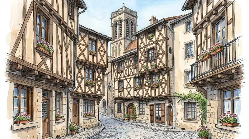
Billom
A medieval merchant capital known as the "Tuscany of Auvergne," where timber-framed architecture and a prestigious academic past define the landscape.
Isserteaux
A high-altitude landscape of dispersed hamlets and volcanic slopes, where Romanesque masonry and 19th-century estates overlook the rugged Livradois-Forez.
Saint-Julien-de-Coppel
An evocative landscape of volcanic promontories and medieval fragments, ideal for an afternoon investigating Romanesque ruins and high-altitude vistas.


